 Manheim
Cardington
Bellevue
Hugo
Hay Springs
Summerville
Sandston
Palatine
Boyce
Little Elm
Roanoke
Tennessee Colony
Leonard
Waelder
Springdale
Lakehurst
Owensville
Munfordville
Gibsonia
Manheim
Cardington
Bellevue
Hugo
Hay Springs
Summerville
Sandston
Palatine
Boyce
Little Elm
Roanoke
Tennessee Colony
Leonard
Waelder
Springdale
Lakehurst
Owensville
Munfordville
Gibsonia
Minnetonka on the map, United States
Where is located Minnetonka
Exact location — Minnetonka, Hennepin County, Minnesota, United States, marked on the map with a red marker.
Coordinates
Minnetonka, United States coordinates in decimal format: latitude — 44.9211836, longitude — -93.4687489. When converted to degrees, minutes, seconds Minnetonka has the following coordinates: 44°55′16.26 north latitude and -93°28′7.5 east longitude.
Population
Minnetonka, Hennepin County, Minnesota, United States, according to our data the population is — 50,117 residents, which is about 0% of the total population of the country (United States).
Comparison of the population on the graph:
Exact time
Time zone for this location Minnetonka — UTC -5 America/Chicago. Exact time — wednesday, 4 april 2024 year, 22 h. 52 minutes.
Sunrise and sunset
Minnetonka, sunrise and sunset data for a date — wednesday 17.04.2024.
| Sunrise | Sunset | Day (duration) |
|---|---|---|
| 06:27 -2 minutes | 19:58 +1 minute | 13 h. 30 minutes. +3 minutes |
You can control the scale of the map using the auxiliary tools to find out exactly where it is located Minnetonka. When you change the scale of the map, the width of the ruler also changes (in kilometers and miles).
Nearby cities
The largest cities that are located nearby:
- Minneapolis — 17 km
- Saint Paul — 30 km
- Sioux Falls — 303 km
- Des Moines — 367 km
- Madison — 387 km
- Green Bay — 432 km
- Omaha — 457 km
- Rockford — 463 km
- Milwaukee — 495 km
- Lincoln — 527 km
- Aurora — 550 km
- Naperville — 561 km
- Peoria — 569 km
- Joliet — 583 km
- Chicago — 587 km
- Winnipeg
 (Canada) — 609 km
 - North Kansas City — 646 km
- Independence — 650 km
- Kansas City — 651 km
Distance to neighboring capitals:
- Ottawa (Canada) — 1392 km
- Mexico City
 (Mexico) — 2883 km
 - Belmopan
 (Belize) — 3109 km
 - Nuuk
 (Greenland) — 3340 km
 - Guatemala City
 (Guatemala) — 3382 km
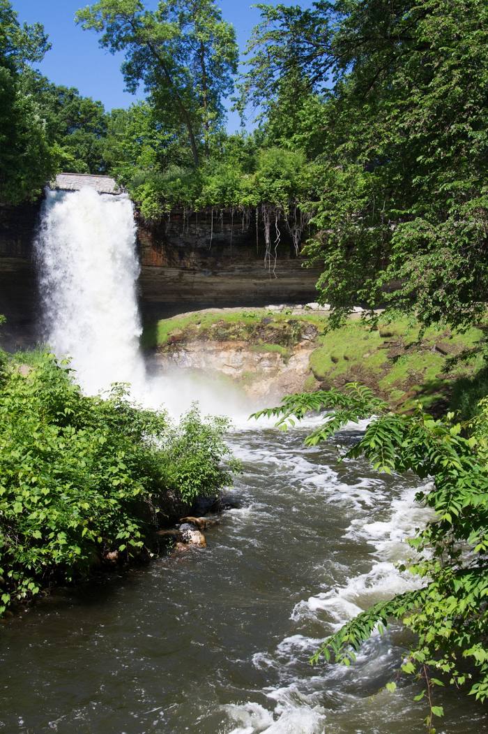
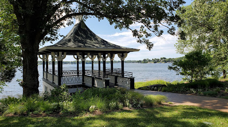
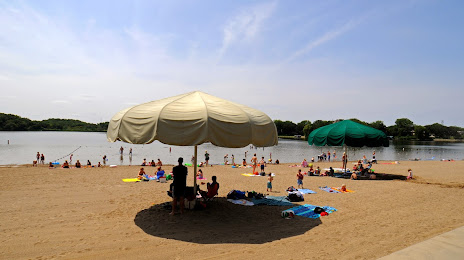
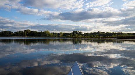
Attractions


Distance to the capital
Distance to the capital (Washington) is about — 1512 km.