 Laughlin
Ponderay
Groves
Jasper
Wauconda
Corolla
Elizabethtown
Beulaville
Ocracoke
West Long Branch
Olympic Valley
Webster
Northborough
Gardner
Nathalie
Ruther Glen
Jean Airport
Bernardsville
Port Clinton
Laughlin
Ponderay
Groves
Jasper
Wauconda
Corolla
Elizabethtown
Beulaville
Ocracoke
West Long Branch
Olympic Valley
Webster
Northborough
Gardner
Nathalie
Ruther Glen
Jean Airport
Bernardsville
Port Clinton
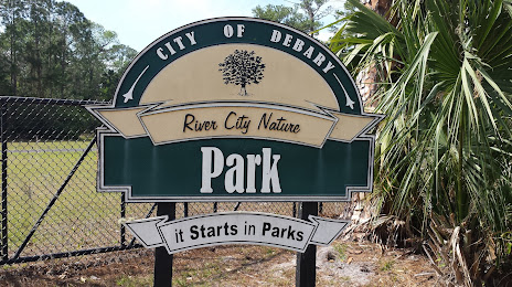
DeBary on the map, United States
Where is located DeBary
Exact location — DeBary, Volusia County, Florida, United States, marked on the map with a red marker.
Coordinates
DeBary, United States coordinates in decimal format: latitude — 28.8713443, longitude — -81.3289397. When converted to degrees, minutes, seconds DeBary has the following coordinates: 28°52′16.84 north latitude and -81°19′44.18 east longitude.
Population
DeBary, Volusia County, Florida, United States, according to our data the population is — 16,638 residents, which is about 0% of the total population of the country (United States).
Comparison of the population on the graph:
Exact time
Time zone for this location DeBary — UTC -4 America/New_York. Exact time — saturday, 4 april 2024 year, 03 h. 24 minutes.
Sunrise and sunset
DeBary, sunrise and sunset data for a date — saturday 20.04.2024.
| Sunrise | Sunset | Day (duration) |
|---|---|---|
| 06:56 -1 minute | 19:51 -0 minutes | 12 h. 54 minutes. +1 minute |
You can control the scale of the map using the auxiliary tools to find out exactly where it is located DeBary. When you change the scale of the map, the width of the ruler also changes (in kilometers and miles).
Nearby cities
The largest cities that are located nearby:
- Orlando — 37 km
- Gainesville — 129 km
- Brandon — 139 km
- Tampa — 150 km
- Jacksonville — 164 km
- Clearwater — 175 km
- Saint Petersburg — 177 km
- Port Saint Lucie — 201 km
- Cape Coral — 262 km
- Coral Springs — 306 km
- Fort Lauderdale — 326 km
- Tallahassee — 330 km
- Pembroke Pines — 333 km
- Miramar — 335 km
- Hollywood — 337 km
- Hialeah — 349 km
- Savannah — 356 km
- Miami — 362 km
- Charleston — 451 km
Distance to neighboring capitals:
- Belmopan
 (Belize) — 1499 km
 - Guatemala City
 (Guatemala) — 1847 km
 - Ottawa
 (Canada) — 1906 km
 - Mexico City
 (Mexico) — 2086 km
 - Nuuk
 (Greenland) — 4446 km
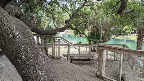
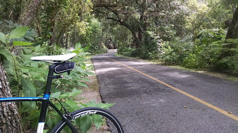
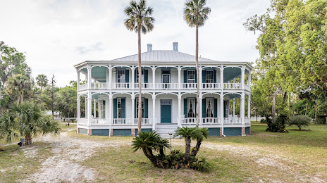
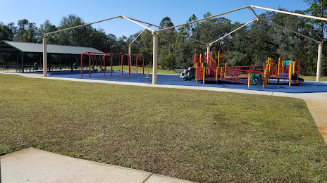
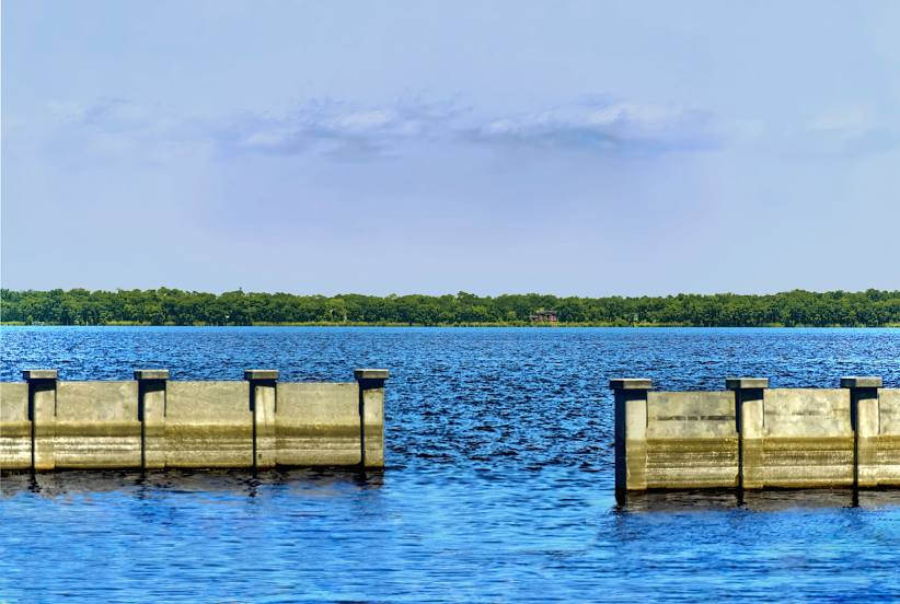
Attractions


Distance to the capital
Distance to the capital (Washington) is about — 1184 km.