 Berwick
Alfred
Buckley
Sun City
Flintstone
Wenham
Murrells Inlet
Corning
Remsen
Kountze
Brockport
Midway Airport
Churchville
Anniston
DeBary
Ijamsville
Addison
Tappahannock
Esparto
Berwick
Alfred
Buckley
Sun City
Flintstone
Wenham
Murrells Inlet
Corning
Remsen
Kountze
Brockport
Midway Airport
Churchville
Anniston
DeBary
Ijamsville
Addison
Tappahannock
Esparto
Wauconda on the map, United States
Where is located Wauconda
Exact location — Wauconda, Lake County, Illinois, United States, marked on the map with a red marker.
Coordinates
Wauconda, United States coordinates in decimal format: latitude — 42.2589122, longitude — -88.1392474. When converted to degrees, minutes, seconds Wauconda has the following coordinates: 42°15′32.08 north latitude and -88°8′21.29 east longitude.
Population
Wauconda, Lake County, Illinois, United States, according to our data the population is — 10,269 residents, which is about 0% of the total population of the country (United States).
Comparison of the population on the graph:
Exact time
Time zone for this location Wauconda — UTC -5 America/Chicago. Exact time — thursday, 4 april 2024 year, 02 h. 20 minutes.
Sunrise and sunset
Wauconda, sunrise and sunset data for a date — thursday 18.04.2024.
| Sunrise | Sunset | Day (duration) |
|---|---|---|
| 06:08 -2 minutes | 19:34 +1 minute | 13 h. 24 minutes. +3 minutes |
You can control the scale of the map using the auxiliary tools to find out exactly where it is located Wauconda. When you change the scale of the map, the width of the ruler also changes (in kilometers and miles).
Nearby cities
The largest cities that are located nearby:
- Naperville — 56 km
- Aurora — 57 km
- Chicago — 59 km
- Rockford — 78 km
- Joliet — 81 km
- Milwaukee — 88 km
- Madison — 136 km
- South Bend — 169 km
- Peoria — 211 km
- Grand Rapids — 215 km
- Green Bay — 250 km
- Fort Wayne — 282 km
- Lansing — 296 km
- Indianapolis — 323 km
- Ann Arbor — 360 km
- Flint — 369 km
- Toledo — 384 km
- Detroit — 416 km
- Windsor
 (Canada) — 417 km
Distance to neighboring capitals:
- Ottawa (Canada) — 1057 km
- Mexico City
 (Mexico) — 2742 km
 - Belmopan
 (Belize) — 2782 km
 - Guatemala City
 (Guatemala) — 3084 km
 - Nuuk
 (Greenland) — 3352 km
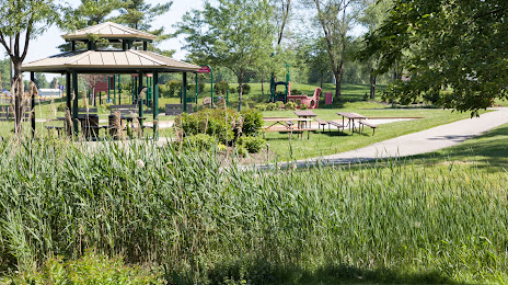
Attractions


Distance to the capital
Distance to the capital (Washington) is about — 1008 km.