 Oakley
Holton
Snohomish
Coupeville
Tehachapi
Pueblo
Key West
Arroyo Grande
Pacoima
Linden
Youngsville
Merna
Remsen
Corning
Murrells Inlet
Wenham
Flintstone
Sun City
Buckley
Oakley
Holton
Snohomish
Coupeville
Tehachapi
Pueblo
Key West
Arroyo Grande
Pacoima
Linden
Youngsville
Merna
Remsen
Corning
Murrells Inlet
Wenham
Flintstone
Sun City
Buckley
Sulphur Springs on the map, United States
Where is located Sulphur Springs
Exact location — Sulphur Springs, Hopkins County, Texas, United States, marked on the map with a red marker.
Coordinates
Sulphur Springs, United States coordinates in decimal format: latitude — 33.1384479, longitude — -95.6010668. When converted to degrees, minutes, seconds Sulphur Springs has the following coordinates: 33°8′18.41 north latitude and -95°36′3.84 east longitude.
Population
Sulphur Springs, Hopkins County, Texas, United States, according to our data the population is — 15,029 residents, which is about 0% of the total population of the country (United States).
Comparison of the population on the graph:
Exact time
Time zone for this location Sulphur Springs — UTC -5 America/Chicago. Exact time — wednesday, 4 april 2024 year, 06 h. 56 minutes.
Sunrise and sunset
Sulphur Springs, sunrise and sunset data for a date — wednesday 17.04.2024.
| Sunrise | Sunset | Day (duration) |
|---|---|---|
| 06:51 -1 minute | 19:51 -0 minutes | 13 h. 0 minutes. +1 minute |
You can control the scale of the map using the auxiliary tools to find out exactly where it is located Sulphur Springs. When you change the scale of the map, the width of the ruler also changes (in kilometers and miles).
Nearby cities
The largest cities that are located nearby:
- Garland — 100 km
- Mesquite — 101 km
- Plano — 103 km
- Richardson — 107 km
- Frisco — 113 km
- Dallas — 118 km
- Carrollton — 121 km
- Irving — 130 km
- Grand Prairie — 137 km
- Denton — 142 km
- Arlington — 147 km
- Fort Worth — 166 km
- Shreveport — 185 km
- Waco — 228 km
- Wichita Falls — 279 km
- Norman — 284 km
- Killeen — 301 km
- Oklahoma City — 310 km
- Tulsa — 335 km
Distance to neighboring capitals:
- Mexico City
 (Mexico) — 1564 km
 - Belmopan
 (Belize) — 1895 km
 - Guatemala City
 (Guatemala) — 2123 km
 - Ottawa
 (Canada) — 2181 km
 - Nuuk
 (Greenland) — 4557 km
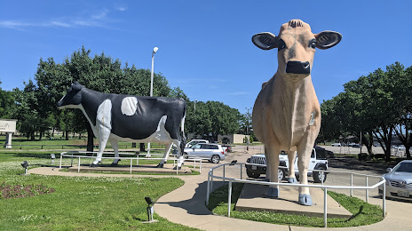
Attractions


Distance to the capital
Distance to the capital (Washington) is about — 1785 km.