 Ojai
Parker
Kingman
Swiftwater
Pittston
Lehighton
Lakeville
Honesdale
Pawling
Carrington
Bemidji
Coon Rapids
Delano
Walkerton
Sulphur Springs
Auburn
Johnsonville
Cedar Hill
Temple Hills
Ojai
Parker
Kingman
Swiftwater
Pittston
Lehighton
Lakeville
Honesdale
Pawling
Carrington
Bemidji
Coon Rapids
Delano
Walkerton
Sulphur Springs
Auburn
Johnsonville
Cedar Hill
Temple Hills
Tehachapi on the map, United States
Where is located Tehachapi
Exact location — Tehachapi, Kern County, California, United States, marked on the map with a red marker.
Coordinates
Tehachapi, United States coordinates in decimal format: latitude — 35.1321877, longitude — -118.4489739. When converted to degrees, minutes, seconds Tehachapi has the following coordinates: 35°7′55.88 north latitude and -118°26′56.31 east longitude.
Population
Tehachapi, Kern County, California, United States, according to our data the population is — 12,009 residents, which is about 0% of the total population of the country (United States).
Comparison of the population on the graph:
Exact time
Time zone for this location Tehachapi — UTC -7 America/Los_Angeles. Exact time — thursday, 4 april 2024 year, 00 h. 30 minutes.
Sunrise and sunset
Tehachapi, sunrise and sunset data for a date — thursday 25.04.2024.
| Sunrise | Sunset | Day (duration) |
|---|---|---|
| 06:11 -1 minute | 19:32 +1 minute | 13 h. 24 minutes. +2 minutes |
You can control the scale of the map using the auxiliary tools to find out exactly where it is located Tehachapi. When you change the scale of the map, the width of the ruler also changes (in kilometers and miles).
Nearby cities
The largest cities that are located nearby:
- Lancaster — 56 km
- Bakersfield — 58 km
- Palmdale — 68 km
- Santa Clarita — 79 km
- Santa Clarita — 82 km
- Simi Valley — 100 km
- Burbank — 106 km
- Universal City — 110 km
- Glendale — 111 km
- Thousand Oaks — 112 km
- Pasadena — 112 km
- Los Angeles — 121 km
- Oxnard — 123 km
- El Monte — 124 km
- East Los Angeles — 125 km
- West Covina — 127 km
- Inglewood — 130 km
- Downey — 135 km
- Pomona — 135 km
Distance to neighboring capitals:
- Mexico City
 (Mexico) — 2578 km
 - Belmopan
 (Belize) — 3545 km
 - Guatemala City
 (Guatemala) — 3602 km
 - Ottawa
 (Canada) — 3755 km
 - Nuuk
 (Greenland) — 5426 km
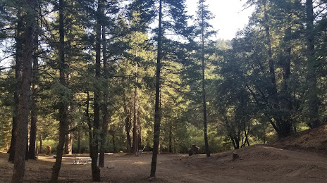
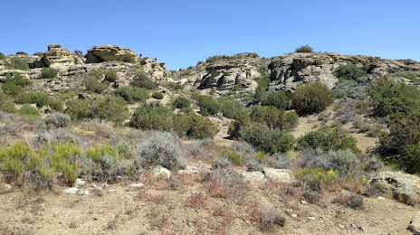
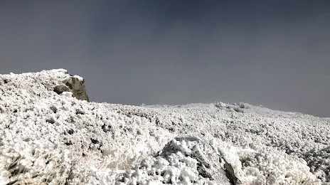
Attractions


Distance to the capital
Distance to the capital (Washington) is about — 3670 km.