 Lakeville
Honesdale
Pawling
Saugerties
Islandia
Pelham
Olmito
Montoursville
Shreve
Bates City
Paola
Waterford charter Township
Morgan County
Hill City
West Fargo
Carrington
Bemidji
Coon Rapids
Delano
Lakeville
Honesdale
Pawling
Saugerties
Islandia
Pelham
Olmito
Montoursville
Shreve
Bates City
Paola
Waterford charter Township
Morgan County
Hill City
West Fargo
Carrington
Bemidji
Coon Rapids
Delano
Palm Coast on the map, United States
Where is located Palm Coast
Exact location — Palm Coast, Flagler County, Florida, United States, marked on the map with a red marker.
Coordinates
Palm Coast, United States coordinates in decimal format: latitude — 29.5844524, longitude — -81.2078699. When converted to degrees, minutes, seconds Palm Coast has the following coordinates: 29°35′4.03 north latitude and -81°12′28.33 east longitude.
Population
Palm Coast, Flagler County, Florida, United States, according to our data the population is — 41,483 residents, which is about 0% of the total population of the country (United States).
Comparison of the population on the graph:
Exact time
Time zone for this location Palm Coast — UTC -4 America/New_York. Exact time — saturday, 4 april 2024 year, 03 h. 21 minute.
Sunrise and sunset
Palm Coast, sunrise and sunset data for a date — saturday 20.04.2024.
| Sunrise | Sunset | Day (duration) |
|---|---|---|
| 06:54 -1 minute | 19:52 +1 minute | 13 h. 0 minutes. +2 minutes |
You can control the scale of the map using the auxiliary tools to find out exactly where it is located Palm Coast. When you change the scale of the map, the width of the ruler also changes (in kilometers and miles).
Nearby cities
The largest cities that are located nearby:
- Jacksonville — 93 km
- Gainesville — 108 km
- Orlando — 117 km
- Brandon — 210 km
- Tampa — 218 km
- Clearwater — 237 km
- Saint Petersburg — 244 km
- Port Saint Lucie — 269 km
- Savannah — 276 km
- Tallahassee — 308 km
- Cape Coral — 342 km
- Charleston — 372 km
- Coral Springs — 378 km
- Fort Lauderdale — 397 km
- Pembroke Pines — 406 km
- Miramar — 408 km
- Hollywood — 409 km
- Hialeah — 422 km
- Miami — 435 km
Distance to neighboring capitals:
- Belmopan
 (Belize) — 1573 km
 - Ottawa
 (Canada) — 1826 km
 - Guatemala City
 (Guatemala) — 1921 km
 - Mexico City
 (Mexico) — 2132 km
 - Nuuk
 (Greenland) — 4367 km
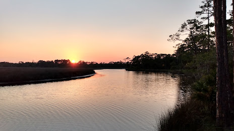
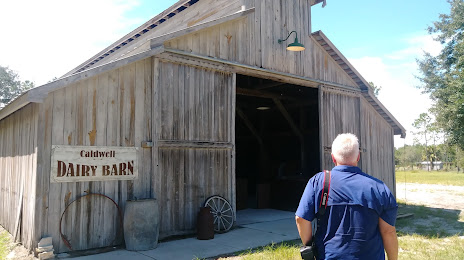
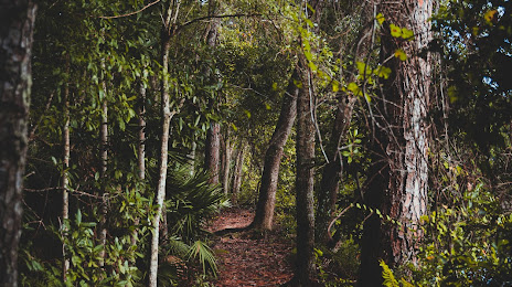
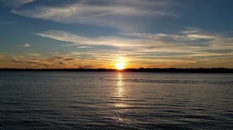
Attractions


Distance to the capital
Distance to the capital (Washington) is about — 1105 km.