 Ankeny
Lufkin
Woodville
Silsbee
Presque Isle
Parsonsfield
Bridgton
Biddeford
Dexter
Lewisport
Grove City
Cynthiana
Hillsboro
Colville
Rolla
Baylis
Saint Robert
Wentzville
Arapahoe County
Ankeny
Lufkin
Woodville
Silsbee
Presque Isle
Parsonsfield
Bridgton
Biddeford
Dexter
Lewisport
Grove City
Cynthiana
Hillsboro
Colville
Rolla
Baylis
Saint Robert
Wentzville
Arapahoe County
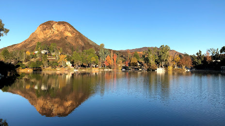
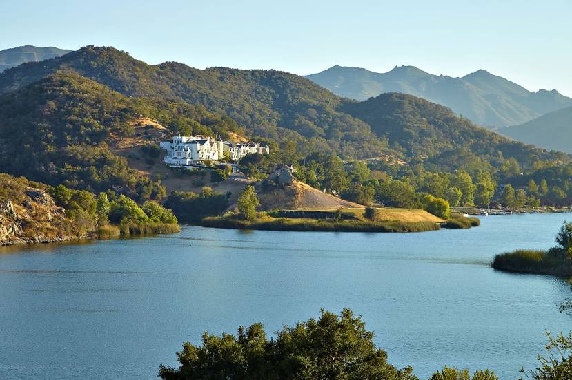
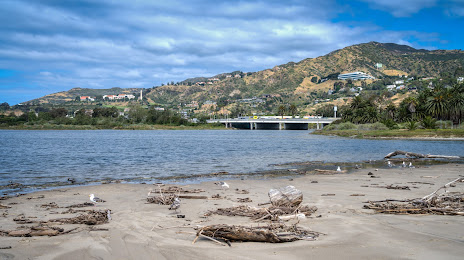
Calabasas on the map, United States
Where is located Calabasas
Exact location — Calabasas, Los Angeles County, California, United States, marked on the map with a red marker.
Coordinates
Calabasas, United States coordinates in decimal format: latitude — 34.1367208, longitude — -118.6614809. When converted to degrees, minutes, seconds Calabasas has the following coordinates: 34°8′12.19 north latitude and -118°39′41.33 east longitude.
Population
Calabasas, Los Angeles County, California, United States, according to our data the population is — 21,368 residents, which is about 0% of the total population of the country (United States).
Comparison of the population on the graph:
Exact time
Time zone for this location Calabasas — UTC -7 America/Los_Angeles. Exact time — thursday, 4 april 2024 year, 04 h. 35 minutes.
Sunrise and sunset
Calabasas, sunrise and sunset data for a date — thursday 25.04.2024.
| Sunrise | Sunset | Day (duration) |
|---|---|---|
| 06:13 -1 minute | 19:31 +1 minute | 13 h. 18 minutes. +2 minutes |
You can control the scale of the map using the auxiliary tools to find out exactly where it is located Calabasas. When you change the scale of the map, the width of the ruler also changes (in kilometers and miles).
Nearby cities
The largest cities that are located nearby:
- Thousand Oaks — 17 km
- Simi Valley — 18 km
- Universal City — 28 km
- Santa Clarita — 30 km
- Santa Clarita — 32 km
- Burbank — 33 km
- Inglewood — 34 km
- Glendale — 37 km
- Los Angeles — 39 km
- Torrance — 44 km
- East Los Angeles — 47 km
- Pasadena — 47 km
- Oxnard — 48 km
- Downey — 53 km
- El Monte — 59 km
- Long Beach — 59 km
- Norwalk — 59 km
- West Covina — 67 km
- Palmdale — 70 km
Distance to neighboring capitals:
- Mexico City
 (Mexico) — 2528 km
 - Belmopan
 (Belize) — 3515 km
 - Guatemala City
 (Guatemala) — 3561 km
 - Ottawa
 (Canada) — 3829 km
 - Nuuk
 (Greenland) — 5531 km
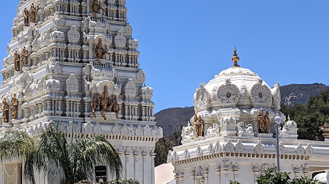
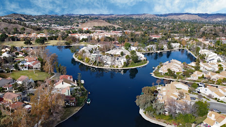
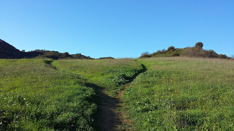
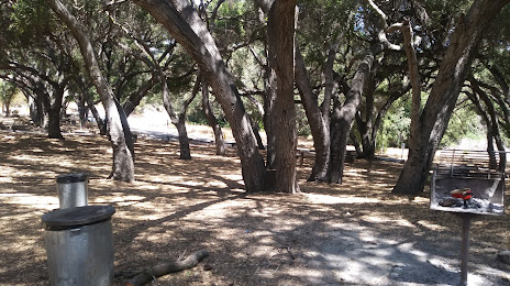
Attractions


Distance to the capital
Distance to the capital (Washington) is about — 3726 km.