 Brookston
North Myrtle Beach
Lawndale
McComb
Pawhuska
Corfu
Wewoka
West Tisbury
Ligonier
Mesa
Wilton
Emlenton
Boerne
Ray Community Airport
Suncook
Yulee
Glenpool
Homer
Tuscumbia
Brookston
North Myrtle Beach
Lawndale
McComb
Pawhuska
Corfu
Wewoka
West Tisbury
Ligonier
Mesa
Wilton
Emlenton
Boerne
Ray Community Airport
Suncook
Yulee
Glenpool
Homer
Tuscumbia
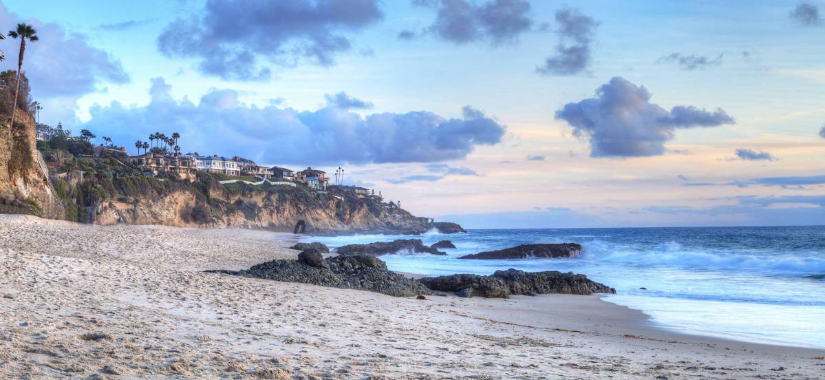
San Juan Capistrano on the map, United States
Where is located San Juan Capistrano
Exact location — San Juan Capistrano, Orange County, California, United States, marked on the map with a red marker.
Coordinates
San Juan Capistrano, United States coordinates in decimal format: latitude — 33.5016932, longitude — -117.6625509. When converted to degrees, minutes, seconds San Juan Capistrano has the following coordinates: 33°30′6.1 north latitude and -117°39′45.18 east longitude.
Population
San Juan Capistrano, Orange County, California, United States, according to our data the population is — 35,301 residents, which is about 0% of the total population of the country (United States).
Comparison of the population on the graph:
Exact time
Time zone for this location San Juan Capistrano — UTC -7 America/Los_Angeles. Exact time — thursday, 4 april 2024 year, 16 h. 54 minutes.
Sunrise and sunset
San Juan Capistrano, sunrise and sunset data for a date — thursday 18.04.2024.
| Sunrise | Sunset | Day (duration) |
|---|---|---|
| 06:18 -1 minute | 19:21 +1 minute | 13 h. 6 minutes. +2 minutes |
You can control the scale of the map using the auxiliary tools to find out exactly where it is located San Juan Capistrano. When you change the scale of the map, the width of the ruler also changes (in kilometers and miles).
Nearby cities
The largest cities that are located nearby:
- Irvine — 24 km
- Costa Mesa — 28 km
- Santa Ana — 33 km
- Huntington Beach — 36 km
- Orange — 36 km
- Garden Grove — 40 km
- Corona — 42 km
- Oceanside — 43 km
- Anaheim — 44 km
- Fullerton — 47 km
- Riverside — 56 km
- Long Beach — 57 km
- Norwalk — 59 km
- Pomona — 62 km
- Ontario — 62 km
- Moreno Valley — 63 km
- Downey — 65 km
- Rancho Cucamonga — 67 km
- West Covina — 68 km
Distance to neighboring capitals:
- Mexico City
 (Mexico) — 2412 km
 - Belmopan
 (Belize) — 3402 km
 - Guatemala City
 (Guatemala) — 3445 km
 - Ottawa
 (Canada) — 3790 km
 - Nuuk
 (Greenland) — 5543 km
Attractions


Distance to the capital
Distance to the capital (Washington) is about — 3665 km.