 Radcliff
Fountain Hills
Lacon
Cedartown
Flagler Beach
Hopkins
Louisville
Kunkletown
Perkasie
McComb
Lawndale
North Myrtle Beach
Brookston
Gas City
Centreville
LaMoure
Romeo State Airport
Wasco
Reedsburg
Radcliff
Fountain Hills
Lacon
Cedartown
Flagler Beach
Hopkins
Louisville
Kunkletown
Perkasie
McComb
Lawndale
North Myrtle Beach
Brookston
Gas City
Centreville
LaMoure
Romeo State Airport
Wasco
Reedsburg
Acworth on the map, United States
Where is located Acworth
Exact location — Acworth, Cobb County, Georgia, United States, marked on the map with a red marker.
Coordinates
Acworth, United States coordinates in decimal format: latitude — 34.0659329, longitude — -84.6768796. When converted to degrees, minutes, seconds Acworth has the following coordinates: 34°3′57.36 north latitude and -84°40′36.77 east longitude.
Population
Acworth, Cobb County, Georgia, United States, according to our data the population is — 19,852 residents, which is about 0% of the total population of the country (United States).
Comparison of the population on the graph:
Exact time
Time zone for this location Acworth — UTC -4 America/New_York. Exact time — thursday, 4 april 2024 year, 18 h. 17 minutes.
Sunrise and sunset
Acworth, sunrise and sunset data for a date — thursday 18.04.2024.
| Sunrise | Sunset | Day (duration) |
|---|---|---|
| 07:05 -2 minutes | 20:09 -0 minutes | 13 h. 6 minutes. +2 minutes |
You can control the scale of the map using the auxiliary tools to find out exactly where it is located Acworth. When you change the scale of the map, the width of the ruler also changes (in kilometers and miles).
Nearby cities
The largest cities that are located nearby:
- Atlanta — 44 km
- Chattanooga — 123 km
- Huntsville — 188 km
- Birmingham — 205 km
- Knoxville — 220 km
- Montgomery — 241 km
- Nashville — 298 km
- Columbia — 334 km
- Clarksville — 362 km
- Charlotte — 369 km
- Savannah — 400 km
- Tallahassee — 403 km
- Winston-Salem — 455 km
- Charleston — 464 km
- Louisville — 472 km
- Greensboro — 490 km
- Mobile — 491 km
- Evansville — 500 km
- Memphis — 500 km
Distance to neighboring capitals:
- Ottawa
 (Canada) — 1476 km
 - Belmopan
 (Belize) — 1914 km
 - Mexico City
 (Mexico) — 2165 km
 - Guatemala City
 (Guatemala) — 2242 km
 - Nuuk
 (Greenland) — 4025 km
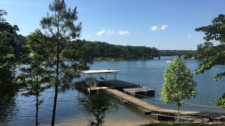
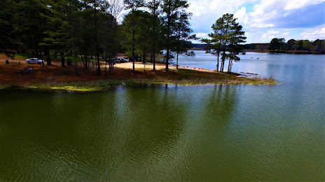
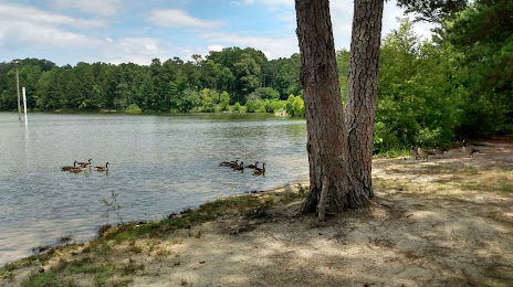
Attractions


Distance to the capital
Distance to the capital (Washington) is about — 869 km.