 Louisville
Kunkletown
Perkasie
Anamosa
Camanche
Tiskilwa
Mediapolis
Boonsboro
Powhatan Point
Shasta Lake
Ligonier
West Tisbury
Wewoka
Corfu
Pawhuska
McComb
Lawndale
North Myrtle Beach
Brookston
Louisville
Kunkletown
Perkasie
Anamosa
Camanche
Tiskilwa
Mediapolis
Boonsboro
Powhatan Point
Shasta Lake
Ligonier
West Tisbury
Wewoka
Corfu
Pawhuska
McComb
Lawndale
North Myrtle Beach
Brookston
Anacortes on the map, United States
Where is located Anacortes
Exact location — Anacortes, Skagit County, Washington, United States, marked on the map with a red marker.
Coordinates
Anacortes, United States coordinates in decimal format: latitude — 48.5126045, longitude — -122.6126718. When converted to degrees, minutes, seconds Anacortes has the following coordinates: 48°30′45.38 north latitude and -122°36′45.62 east longitude.
Population
Anacortes, Skagit County, Washington, United States, according to our data the population is — 16,061 residents, which is about 0% of the total population of the country (United States).
Comparison of the population on the graph:
Exact time
Time zone for this location Anacortes — UTC -7 America/Los_Angeles. Exact time — tuesday, 4 april 2024 year, 01 h. 53 minutes.
Sunrise and sunset
Anacortes, sunrise and sunset data for a date — tuesday 16.04.2024.
| Sunrise | Sunset | Day (duration) |
|---|---|---|
| 06:19 -2 minutes | 20:00 +2 minutes | 13 h. 42 minutes. +4 minutes |
You can control the scale of the map using the auxiliary tools to find out exactly where it is located Anacortes. When you change the scale of the map, the width of the ruler also changes (in kilometers and miles).
Nearby cities
The largest cities that are located nearby:
- Victoria
 (Canada) — 56 km
 - Abbotsford (Canada) — 63 km
- Delta (Canada) — 71 km
- Surrey (Canada) — 76 km
- Richmond (Canada) — 82 km
- Coquitlam (Canada) — 86 km
- Burnaby (Canada) — 87 km
- Anmore (Canada) — 90 km
- Vancouver (Canada) — 93 km
- Seattle — 102 km
- Bellevue — 104 km
- Tacoma — 140 km
- Kelowna (Canada) — 269 km
- Portland — 331 km
- Salem — 396 km
- Spokane — 398 km
- Eugene — 495 km
- Calgary (Canada) — 657 km
- Boise — 745 km
Distance to neighboring capitals:
- Ottawa (Canada) — 3521 km
- Mexico City
 (Mexico) — 3859 km
 - Nuuk
 (Greenland) — 4421 km
 - Belmopan
 (Belize) — 4629 km
 - Guatemala City
 (Guatemala) — 4775 km
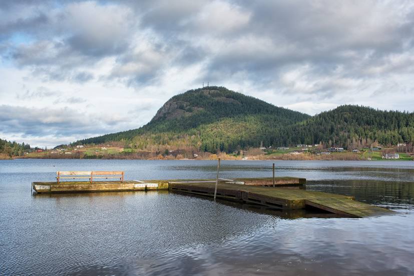
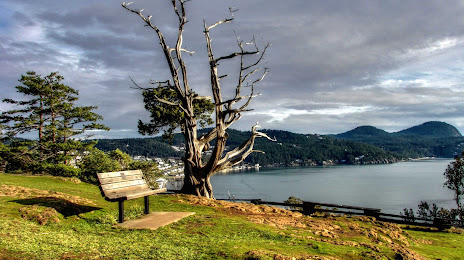
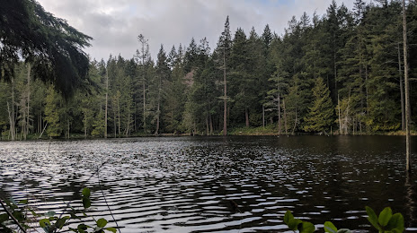
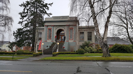
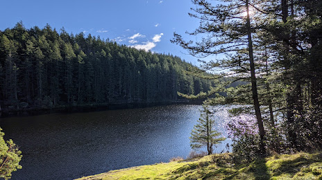
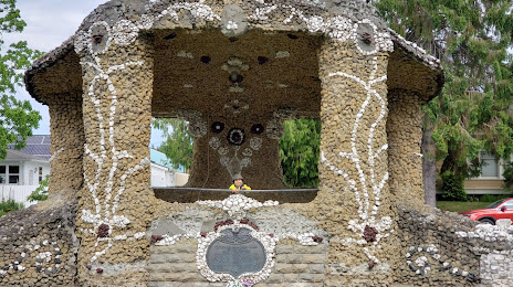
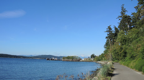
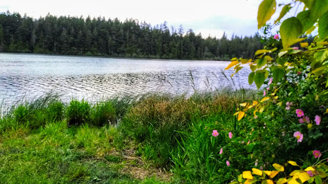
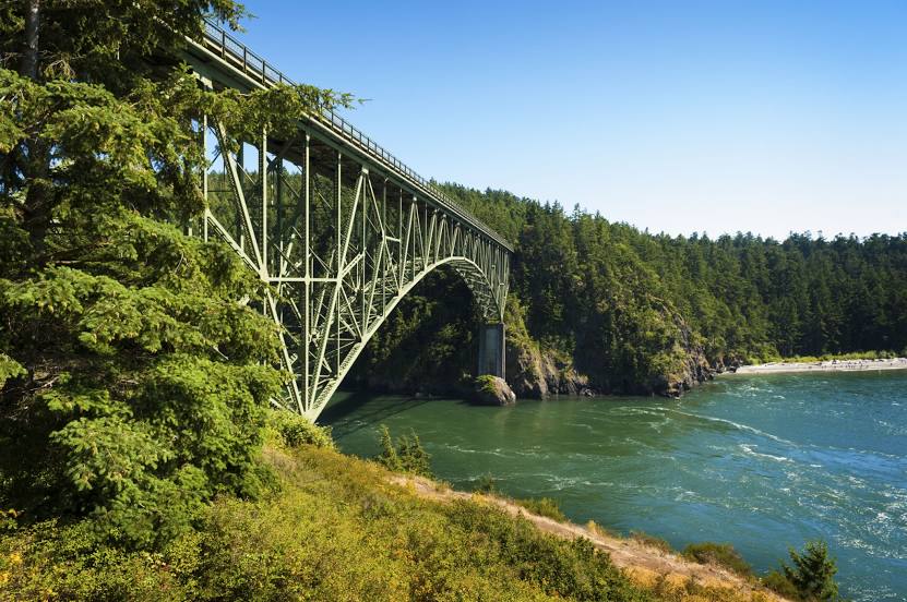
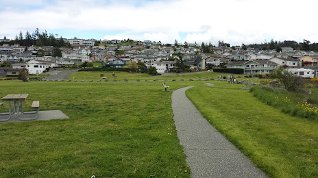
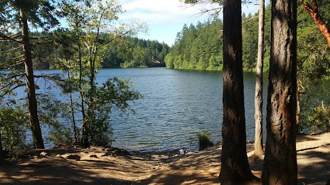
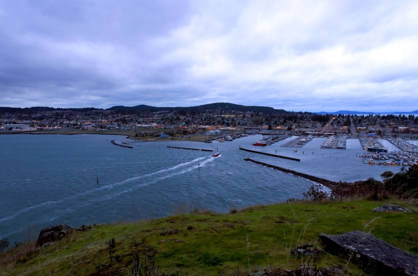
Attractions


Distance to the capital
Distance to the capital (Washington) is about — 3756 km.