 Quitman
Nacogdoches
Roxbury Township
San Simeon
Richlands
Waxahachie
Anadarko
Mill Creek
Slidell
Perkasie
Kunkletown
Louisville
Hopkins
Flagler Beach
Cedartown
Lacon
Fountain Hills
Radcliff
Stanwood
Quitman
Nacogdoches
Roxbury Township
San Simeon
Richlands
Waxahachie
Anadarko
Mill Creek
Slidell
Perkasie
Kunkletown
Louisville
Hopkins
Flagler Beach
Cedartown
Lacon
Fountain Hills
Radcliff
Stanwood
Tavares on the map, United States
Where is located Tavares
Exact location — Tavares, Lake County, Florida, United States, marked on the map with a red marker.
Coordinates
Tavares, United States coordinates in decimal format: latitude — 28.8041579, longitude — -81.725632. When converted to degrees, minutes, seconds Tavares has the following coordinates: 28°48′14.97 north latitude and -81°43′32.28 east longitude.
Population
Tavares, Lake County, Florida, United States, according to our data the population is — 11,684 residents, which is about 0% of the total population of the country (United States).
Comparison of the population on the graph:
Exact time
Time zone for this location Tavares — UTC -4 America/New_York. Exact time — friday, 4 april 2024 year, 23 h. 02 minutes.
Sunrise and sunset
Tavares, sunrise and sunset data for a date — friday 19.04.2024.
| Sunrise | Sunset | Day (duration) |
|---|---|---|
| 06:58 -1 minute | 19:52 -0 minutes | 12 h. 54 minutes. +1 minute |
You can control the scale of the map using the auxiliary tools to find out exactly where it is located Tavares. When you change the scale of the map, the width of the ruler also changes (in kilometers and miles).
Nearby cities
The largest cities that are located nearby:
- Orlando — 45 km
- Gainesville — 110 km
- Brandon — 110 km
- Tampa — 118 km
- Clearwater — 140 km
- Saint Petersburg — 145 km
- Jacksonville — 169 km
- Port Saint Lucie — 216 km
- Cape Coral — 249 km
- Tallahassee — 303 km
- Coral Springs — 315 km
- Fort Lauderdale — 336 km
- Pembroke Pines — 340 km
- Miramar — 342 km
- Hollywood — 346 km
- Hialeah — 356 km
- Savannah — 367 km
- Miami — 369 km
- Charleston — 470 km
Distance to neighboring capitals:
- Belmopan
 (Belize) — 1472 km
 - Guatemala City
 (Guatemala) — 1820 km
 - Ottawa
 (Canada) — 1923 km
 - Mexico City
 (Mexico) — 2048 km
 - Nuuk
 (Greenland) — 4466 km
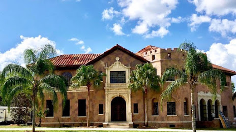
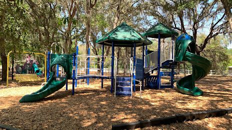
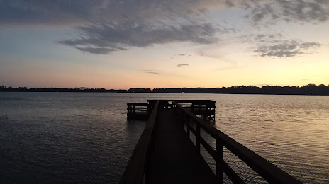
Attractions


Distance to the capital
Distance to the capital (Washington) is about — 1204 km.