 Kempner
Lampasas
Riesel
Itasca
Charlevoix
Eaton Rapids
New Hartford
Onarga
Oak Forest
Wickett
Sandusky
Pigeon Forge
Lebanon
Grimes Airport
Gladwin
Deer Isle
Gualala
Bidwell
Ville Platte
Kempner
Lampasas
Riesel
Itasca
Charlevoix
Eaton Rapids
New Hartford
Onarga
Oak Forest
Wickett
Sandusky
Pigeon Forge
Lebanon
Grimes Airport
Gladwin
Deer Isle
Gualala
Bidwell
Ville Platte
Sedalia on the map, United States
Where is located Sedalia
Exact location — Sedalia, Pettis County, Missouri, United States, marked on the map with a red marker.
Coordinates
Sedalia, United States coordinates in decimal format: latitude — 38.7044609, longitude — -93.2282613. When converted to degrees, minutes, seconds Sedalia has the following coordinates: 38°42′16.06 north latitude and -93°13′41.74 east longitude.
Population
Sedalia, Pettis County, Missouri, United States, according to our data the population is — 19,772 residents, which is about 0% of the total population of the country (United States).
Comparison of the population on the graph:
Exact time
Time zone for this location Sedalia — UTC -5 America/Chicago. Exact time — thursday, 4 april 2024 year, 21 h. 34 minutes.
Sunrise and sunset
Sedalia, sunrise and sunset data for a date — thursday 18.04.2024.
| Sunrise | Sunset | Day (duration) |
|---|---|---|
| 06:34 -1 minute | 19:49 -0 minutes | 13 h. 18 minutes. +1 minute |
You can control the scale of the map using the auxiliary tools to find out exactly where it is located Sedalia. When you change the scale of the map, the width of the ruler also changes (in kilometers and miles).
Nearby cities
The largest cities that are located nearby:
- Independence — 110 km
- Kansas City — 124 km
- North Kansas City — 125 km
- Overland Park — 128 km
- Olathe — 138 km
- Springfield — 165 km
- Topeka — 215 km
- Saint Louis — 262 km
- Des Moines — 322 km
- Omaha — 364 km
- Lincoln — 372 km
- Tulsa — 375 km
- Peoria — 376 km
- Wichita — 377 km
- Little Rock — 446 km
- Memphis — 487 km
- Evansville — 500 km
- Rockford — 520 km
- Oklahoma City — 526 km
Distance to neighboring capitals:
- Ottawa
 (Canada) — 1624 km
 - Mexico City
 (Mexico) — 2218 km
 - Belmopan
 (Belize) — 2425 km
 - Guatemala City
 (Guatemala) — 2693 km
 - Nuuk
 (Greenland) — 3911 km
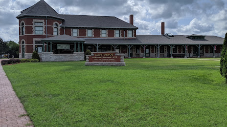
Attractions

Distance to the capital
Distance to the capital (Washington) is about — 1402 km.