 Broad Run
Powderly
Sauk City
Tecopa
Dunedin
Fancy Gap
Keokuk
Wilton
Jourdanton
Ransom Canyon
Aberdeen
Drasco
Heber Springs
Eupora
Window Rock
Henry County
Wesley Chapel
Amery
River Falls
Broad Run
Powderly
Sauk City
Tecopa
Dunedin
Fancy Gap
Keokuk
Wilton
Jourdanton
Ransom Canyon
Aberdeen
Drasco
Heber Springs
Eupora
Window Rock
Henry County
Wesley Chapel
Amery
River Falls
Marinette on the map, United States
Where is located Marinette
Exact location — Marinette, Marinette County, Wisconsin, United States, marked on the map with a red marker.
Coordinates
Marinette, United States coordinates in decimal format: latitude — 45.0999849, longitude — -87.6306623. When converted to degrees, minutes, seconds Marinette has the following coordinates: 45°5′59.95 north latitude and -87°37′50.38 east longitude.
Population
Marinette, Marinette County, Wisconsin, United States, according to our data the population is — 11,171 residents, which is about 0% of the total population of the country (United States).
Comparison of the population on the graph:
Exact time
Time zone for this location Marinette — UTC -5 America/Chicago. Exact time — thursday, 4 april 2024 year, 01 h. 56 minutes.
Sunrise and sunset
Marinette, sunrise and sunset data for a date — thursday 25.04.2024.
| Sunrise | Sunset | Day (duration) |
|---|---|---|
| 05:50 -2 minutes | 19:45 +1 minute | 13 h. 54 minutes. +3 minutes |
You can control the scale of the map using the auxiliary tools to find out exactly where it is located Marinette. When you change the scale of the map, the width of the ruler also changes (in kilometers and miles).
Nearby cities
The largest cities that are located nearby:
- Green Bay — 71 km
- Milwaukee — 229 km
- Madison — 266 km
- Grand Rapids — 285 km
- Rockford — 335 km
- Chicago — 356 km
- Lansing — 362 km
- Naperville — 373 km
- Aurora — 374 km
- Flint — 394 km
- South Bend — 395 km
- Joliet — 397 km
- Saint Paul — 427 km
- Minneapolis — 441 km
- Ann Arbor — 445 km
- Sterling Heights — 467 km
- Warren — 472 km
- Detroit — 484 km
- Windsor
 (Canada) — 486 km
Distance to neighboring capitals:
- Ottawa (Canada) — 934 km
- Mexico City
 (Mexico) — 3046 km
 - Nuuk
 (Greenland) — 3063 km
 - Belmopan
 (Belize) — 3099 km
 - Guatemala City
 (Guatemala) — 3402 km
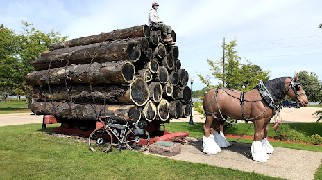
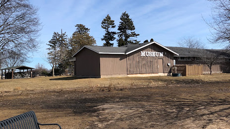
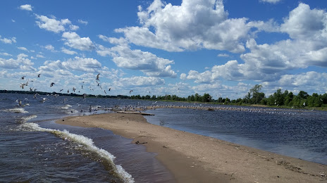
Attractions


Distance to the capital
Distance to the capital (Washington) is about — 1112 km.