 Phelan
Emporia
Sparks
Wrens
Ayden
Vashon
Marengo
Kerman
Soledad
Acoma Pueblo
Seward
Spotsylvania
Luther Airport
Middleburg Heights
Milton-Otto Field
Golden Meadow
Weatherford
Beulah Field
Albemarle
Phelan
Emporia
Sparks
Wrens
Ayden
Vashon
Marengo
Kerman
Soledad
Acoma Pueblo
Seward
Spotsylvania
Luther Airport
Middleburg Heights
Milton-Otto Field
Golden Meadow
Weatherford
Beulah Field
Albemarle
Saint George on the map, United States
Where is located Saint George
Exact location — Saint George, Washington County, Utah, United States, marked on the map with a red marker.
Coordinates
Saint George, United States coordinates in decimal format: latitude — 37.0965278, longitude — -113.5684164. When converted to degrees, minutes, seconds Saint George has the following coordinates: 37°5′47.5 north latitude and -113°34′6.3 east longitude.
Population
Saint George, Washington County, Utah, United States, according to our data the population is — 61,338 residents, which is about 0% of the total population of the country (United States).
Comparison of the population on the graph:
Exact time
Time zone for this location Saint George — UTC -6 America/Denver. Exact time — thursday, 4 april 2024 year, 16 h. 45 minutes.
Sunrise and sunset
Saint George, sunrise and sunset data for a date — thursday 25.04.2024.
| Sunrise | Sunset | Day (duration) |
|---|---|---|
| 06:48 -1 minute | 20:15 +1 minute | 13 h. 30 minutes. +2 minutes |
You can control the scale of the map using the auxiliary tools to find out exactly where it is located Saint George. When you change the scale of the map, the width of the ruler also changes (in kilometers and miles).
Nearby cities
The largest cities that are located nearby:
- North Las Vegas — 170 km
- Henderson — 172 km
- Las Vegas — 174 km
- Spring Valley — 185 km
- Provo — 382 km
- Peoria — 408 km
- West Jordan — 412 km
- Glendale — 413 km
- West Valley City — 419 km
- Scottsdale — 426 km
- Phoenix — 426 km
- Salt Lake City — 429 km
- Tempe — 433 km
- Mesa — 437 km
- Gilbert — 445 km
- Chandler — 448 km
- San Bernardino — 475 km
- Rialto — 480 km
- Moreno Valley — 484 km
Distance to neighboring capitals:
- Mexico City
 (Mexico) — 2414 km
 - Ottawa
 (Canada) — 3266 km
 - Belmopan
 (Belize) — 3281 km
 - Guatemala City
 (Guatemala) — 3382 km
 - Nuuk
 (Greenland) — 5007 km
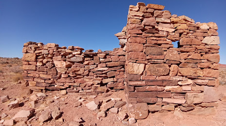
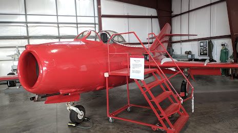
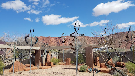
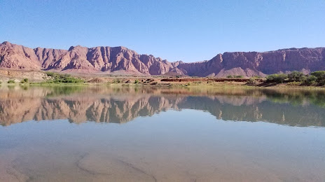
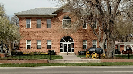
Attractions


Distance to the capital
Distance to the capital (Washington) is about — 3187 km.