 Kelso
Burley
Cave Junction
Kosciusko
Effingham
Higden
Audubon
Moulton
Eastaboga
Ruston
Bonne Terre
Lindsborg
Eastlake
Middleville
Watseka
Wills Point
Mustang
Marshfield
Edisto Island
Kelso
Burley
Cave Junction
Kosciusko
Effingham
Higden
Audubon
Moulton
Eastaboga
Ruston
Bonne Terre
Lindsborg
Eastlake
Middleville
Watseka
Wills Point
Mustang
Marshfield
Edisto Island
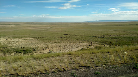
Laramie on the map, United States
Where is located Laramie
Exact location — Laramie, Albany County, Wyoming, United States, marked on the map with a red marker.
Coordinates
Laramie, United States coordinates in decimal format: latitude — 41.3113669, longitude — -105.5911007. When converted to degrees, minutes, seconds Laramie has the following coordinates: 41°18′40.92 north latitude and -105°35′27.96 east longitude.
Population
Laramie, Albany County, Wyoming, United States, according to our data the population is — 26,934 residents, which is about 0% of the total population of the country (United States).
Comparison of the population on the graph:
Exact time
Time zone for this location Laramie — UTC -6 America/Denver. Exact time — thursday, 4 april 2024 year, 01 h. 09 minutes.
Sunrise and sunset
Laramie, sunrise and sunset data for a date — thursday 25.04.2024.
| Sunrise | Sunset | Day (duration) |
|---|---|---|
| 06:09 -2 minutes | 19:50 +1 minute | 13 h. 42 minutes. +3 minutes |
You can control the scale of the map using the auxiliary tools to find out exactly where it is located Laramie. When you change the scale of the map, the width of the ruler also changes (in kilometers and miles).
Nearby cities
The largest cities that are located nearby:
- Fort Collins — 91 km
- Thornton — 168 km
- Westminster — 170 km
- Arvada — 172 km
- Denver — 181 km
- Lakewood — 183 km
- Aurora — 186 km
- Colorado Springs — 282 km
- Pueblo — 349 km
- Provo — 526 km
- Salt Lake City — 531 km
- West Jordan — 538 km
- West Valley City — 542 km
- Albuquerque — 694 km
- Valencia — 727 km
- Lincoln — 747 km
- Sioux Falls — 752 km
- Amarillo — 754 km
- Omaha — 797 km
Distance to neighboring capitals:
- Ottawa
 (Canada) — 2445 km
 - Mexico City
 (Mexico) — 2509 km
 - Belmopan
 (Belize) — 3122 km
 - Guatemala City
 (Guatemala) — 3306 km
 - Nuuk
 (Greenland) — 4235 km
Attractions


Distance to the capital
Distance to the capital (Washington) is about — 2433 km.