 Camilla
Flowery Branch
Farmersville
Tubac
Miami
Lakeside Marblehead
Town of Lisbon
Mooresville
New Stanton
Eastaboga
Moulton
Audubon
Higden
Effingham
Kosciusko
Cave Junction
Burley
Kelso
McCloud
Camilla
Flowery Branch
Farmersville
Tubac
Miami
Lakeside Marblehead
Town of Lisbon
Mooresville
New Stanton
Eastaboga
Moulton
Audubon
Higden
Effingham
Kosciusko
Cave Junction
Burley
Kelso
McCloud
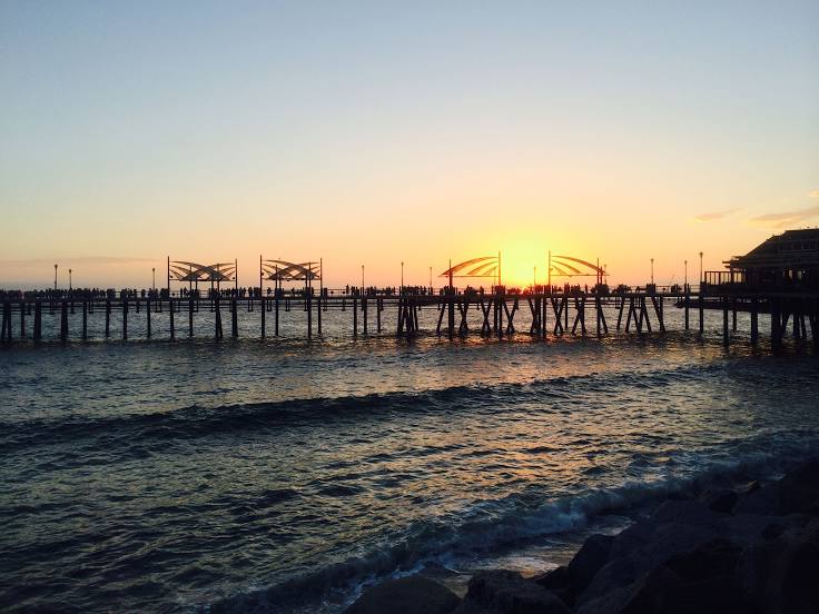
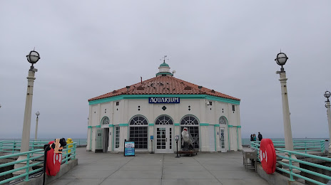
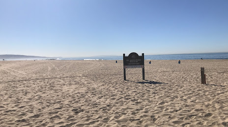
Hermosa Beach on the map, United States
Where is located Hermosa Beach
Exact location — Hermosa Beach, Los Angeles County, California, United States, marked on the map with a red marker.
Coordinates
Hermosa Beach, United States coordinates in decimal format: latitude — 33.8622366, longitude — -118.3995194. When converted to degrees, minutes, seconds Hermosa Beach has the following coordinates: 33°51′44.05 north latitude and -118°23′58.27 east longitude.
Population
Hermosa Beach, Los Angeles County, California, United States, according to our data the population is — 19,825 residents, which is about 0% of the total population of the country (United States).
Comparison of the population on the graph:
Exact time
Time zone for this location Hermosa Beach — UTC -7 America/Los_Angeles. Exact time — wednesday, 4 april 2024 year, 20 h. 59 minutes.
Sunrise and sunset
Hermosa Beach, sunrise and sunset data for a date — wednesday 24.04.2024.
| Sunrise | Sunset | Day (duration) |
|---|---|---|
| 06:13 -2 minutes | 19:29 +1 minute | 13 h. 18 minutes. +3 minutes |
You can control the scale of the map using the auxiliary tools to find out exactly where it is located Hermosa Beach. When you change the scale of the map, the width of the ruler also changes (in kilometers and miles).
Nearby cities
The largest cities that are located nearby:
- Torrance — 6 km
- Inglewood — 12 km
- Long Beach — 22 km
- Los Angeles — 25 km
- Downey — 26 km
- East Los Angeles — 28 km
- Norwalk — 30 km
- Universal City — 31 km
- Glendale — 34 km
- Burbank — 36 km
- Pasadena — 39 km
- El Monte — 41 km
- Huntington Beach — 43 km
- Garden Grove — 43 km
- Fullerton — 44 km
- Anaheim — 45 km
- West Covina — 48 km
- Santa Ana — 51 km
- Costa Mesa — 51 km
Distance to neighboring capitals:
- Mexico City
 (Mexico) — 2491 km
 - Belmopan
 (Belize) — 3480 km
 - Guatemala City
 (Guatemala) — 3524 km
 - Ottawa
 (Canada) — 3825 km
 - Nuuk
 (Greenland) — 5544 km
Attractions


Distance to the capital
Distance to the capital (Washington) is about — 3714 km.