 Arjay
Toivola
Coloma
Kane
Chesterland
Shafter
Fayetteville
Dadeville
Hoopa
Town of Lisbon
Lakeside Marblehead
Miami
Tubac
Farmersville
Flowery Branch
Camilla
Keysville
Eastanollee
Hanceville
Arjay
Toivola
Coloma
Kane
Chesterland
Shafter
Fayetteville
Dadeville
Hoopa
Town of Lisbon
Lakeside Marblehead
Miami
Tubac
Farmersville
Flowery Branch
Camilla
Keysville
Eastanollee
Hanceville
Leander on the map, United States
Where is located Leander
Exact location — Leander, Williamson County, Texas, United States, marked on the map with a red marker.
Coordinates
Leander, United States coordinates in decimal format: latitude — 30.5788055, longitude — -97.8530686. When converted to degrees, minutes, seconds Leander has the following coordinates: 30°34′43.7 north latitude and -97°51′11.05 east longitude.
Population
Leander, Williamson County, Texas, United States, according to our data the population is — 19,321 residents, which is about 0% of the total population of the country (United States).
Comparison of the population on the graph:
Exact time
Time zone for this location Leander — UTC -5 America/Chicago. Exact time — thursday, 4 april 2024 year, 20 h. 07 minutes.
Sunrise and sunset
Leander, sunrise and sunset data for a date — thursday 18.04.2024.
| Sunrise | Sunset | Day (duration) |
|---|---|---|
| 07:02 -1 minute | 19:58 -0 minutes | 12 h. 54 minutes. +1 minute |
You can control the scale of the map using the auxiliary tools to find out exactly where it is located Leander. When you change the scale of the map, the width of the ruler also changes (in kilometers and miles).
Nearby cities
The largest cities that are located nearby:
- Austin — 36 km
- Killeen — 61 km
- Waco — 126 km
- San Antonio — 142 km
- Fort Worth — 246 km
- Arlington — 248 km
- Grand Prairie — 252 km
- Houston — 255 km
- Irving — 261 km
- Dallas — 262 km
- Mesquite — 269 km
- Abilene — 271 km
- Carrollton — 280 km
- Garland — 282 km
- Richardson — 282 km
- Plano — 290 km
- Denton — 299 km
- Frisco — 300 km
- Corpus Christi — 310 km
Distance to neighboring capitals:
- Mexico City
 (Mexico) — 1246 km
 - Belmopan
 (Belize) — 1745 km
 - Guatemala City
 (Guatemala) — 1927 km
 - Ottawa
 (Canada) — 2533 km
 - Nuuk
 (Greenland) — 4907 km
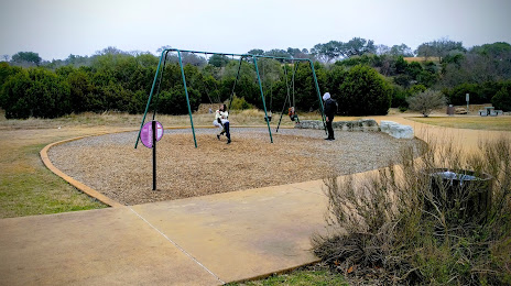
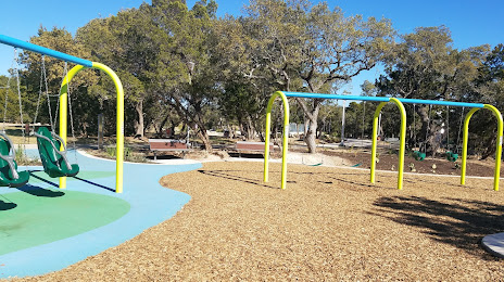
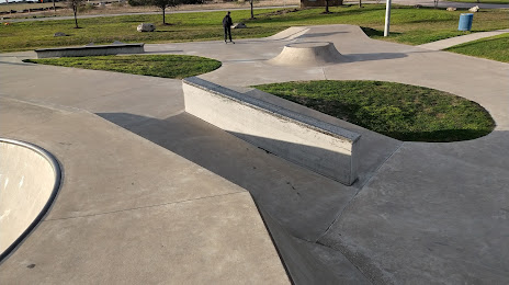
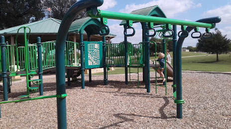
Attractions


Distance to the capital
Distance to the capital (Washington) is about — 2109 km.