 Adelanto
Jermyn
Dickerson
Kempton
Lacassine
Penitas
Monmouth
Ceres
Capitola
Crawfordville
Pooler
Wellsville
Gardner
Hermleigh
Floydada
Lockhart
Roff
South Jordan
Neoga
Adelanto
Jermyn
Dickerson
Kempton
Lacassine
Penitas
Monmouth
Ceres
Capitola
Crawfordville
Pooler
Wellsville
Gardner
Hermleigh
Floydada
Lockhart
Roff
South Jordan
Neoga
Smithtown on the map, United States
Where is located Smithtown
Exact location — Smithtown, Suffolk County, New York, United States, marked on the map with a red marker.
Coordinates
Smithtown, United States coordinates in decimal format: latitude — 40.8559314, longitude — -73.2006687. When converted to degrees, minutes, seconds Smithtown has the following coordinates: 40°51′21.35 north latitude and -73°12′2.41 east longitude.
Population
Smithtown, Suffolk County, New York, United States, according to our data the population is — 27,300 residents, which is about 0% of the total population of the country (United States).
Comparison of the population on the graph:
Exact time
Time zone for this location Smithtown — UTC -4 America/New_York. Exact time — thursday, 4 april 2024 year, 13 h. 54 minutes.
Sunrise and sunset
Smithtown, sunrise and sunset data for a date — thursday 18.04.2024.
| Sunrise | Sunset | Day (duration) |
|---|---|---|
| 06:11 -1 minute | 19:32 +1 minute | 13 h. 24 minutes. +2 minutes |
You can control the scale of the map using the auxiliary tools to find out exactly where it is located Smithtown. When you change the scale of the map, the width of the ruler also changes (in kilometers and miles).
Nearby cities
The largest cities that are located nearby:
- Stamford — 36 km
- Bridgeport — 37 km
- New Haven — 55 km
- Yonkers — 59 km
- Brooklyn — 69 km
- New York — 69 km
- Waterbury — 79 km
- Paterson — 81 km
- Newark — 82 km
- Elizabeth — 87 km
- Edison — 108 km
- Hartford — 109 km
- Toms River — 131 km
- Springfield — 147 km
- Amherst — 174 km
- Providence — 182 km
- Worcester — 193 km
- Allentown — 194 km
- Philadelphia — 194 km
Distance to neighboring capitals:
- Ottawa
 (Canada) — 547 km
 - Nuuk
 (Greenland) — 2940 km
 - Belmopan
 (Belize) — 3019 km
 - Guatemala City
 (Guatemala) — 3366 km
 - Mexico City
 (Mexico) — 3424 km
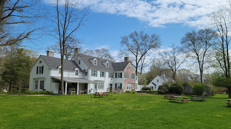
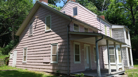
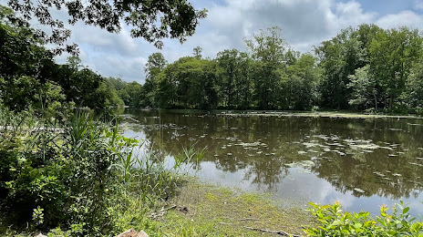
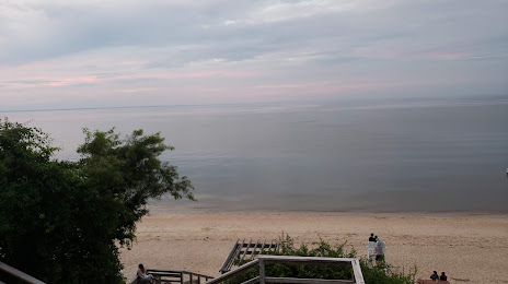
Attractions


Distance to the capital
Distance to the capital (Washington) is about — 393 km.