 Ceres
Capitola
Lewisburg
Ashburn
Leesville Airport
Ipswich
Angels Camp
Hawley
Loveland
Ethel
Vinton
Bellville
Quemado
Greenwell Springs
Orfordville
Keithville
Crawfordville
Pooler
Wellsville
Ceres
Capitola
Lewisburg
Ashburn
Leesville Airport
Ipswich
Angels Camp
Hawley
Loveland
Ethel
Vinton
Bellville
Quemado
Greenwell Springs
Orfordville
Keithville
Crawfordville
Pooler
Wellsville
Natchitoches on the map, United States
Where is located Natchitoches
Exact location — Natchitoches, Natchitoches Parish, Louisiana, United States, marked on the map with a red marker.
Coordinates
Natchitoches, United States coordinates in decimal format: latitude — 31.7607195, longitude — -93.0862749. When converted to degrees, minutes, seconds Natchitoches has the following coordinates: 31°45′38.59 north latitude and -93°5′10.59 east longitude.
Population
Natchitoches, Natchitoches Parish, Louisiana, United States, according to our data the population is — 18,598 residents, which is about 0% of the total population of the country (United States).
Comparison of the population on the graph:
Exact time
Time zone for this location Natchitoches — UTC -5 America/Chicago. Exact time — thursday, 4 april 2024 year, 15 h. 11 minutes.
Sunrise and sunset
Natchitoches, sunrise and sunset data for a date — thursday 25.04.2024.
| Sunrise | Sunset | Day (duration) |
|---|---|---|
| 06:34 -1 minute | 19:45 -0 minutes | 13 h. 12 minutes. +1 minute |
You can control the scale of the map using the auxiliary tools to find out exactly where it is located Natchitoches. When you change the scale of the map, the width of the ruler also changes (in kilometers and miles).
Nearby cities
The largest cities that are located nearby:
- Shreveport — 105 km
- Lafayette — 198 km
- Beaumont — 211 km
- Baton Rouge — 235 km
- Jackson — 278 km
- Houston — 311 km
- Little Rock — 338 km
- Metairie — 343 km
- Mesquite — 345 km
- New Orleans — 351 km
- Garland — 353 km
- Richardson — 363 km
- Plano — 363 km
- Dallas — 363 km
- Irving — 377 km
- Carrollton — 378 km
- Frisco — 379 km
- Grand Prairie — 380 km
- Waco — 383 km
Distance to neighboring capitals:
- Mexico City
 (Mexico) — 1499 km
 - Belmopan
 (Belize) — 1671 km
 - Guatemala City
 (Guatemala) — 1925 km
 - Ottawa
 (Canada) — 2134 km
 - Nuuk
 (Greenland) — 4588 km
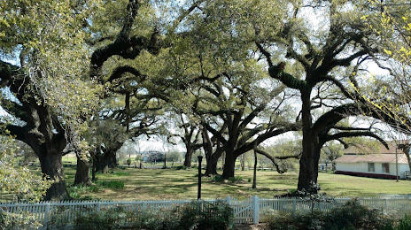
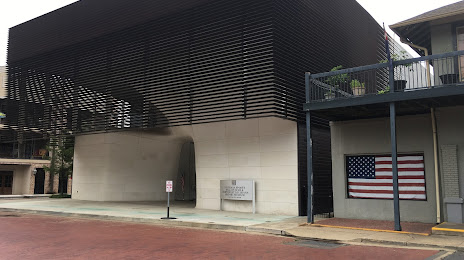
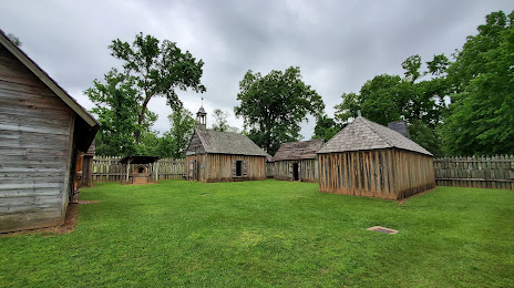
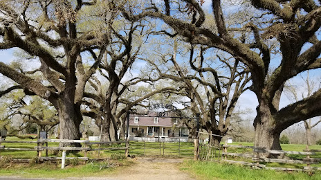
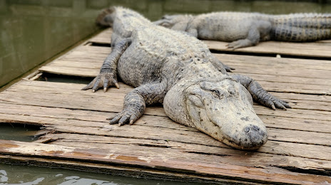
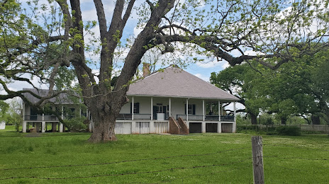
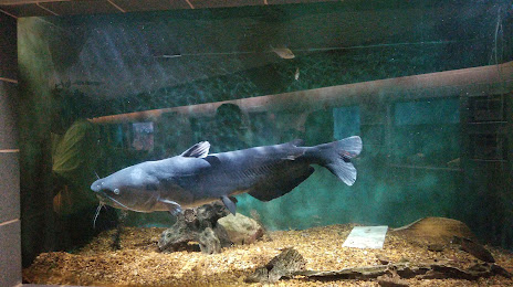
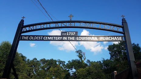
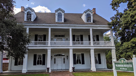
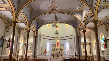
Attractions

Distance to the capital
Distance to the capital (Washington) is about — 1656 km.