 Dahlgren
Socorro
Prairie View
Yorktown Heights
Warsaw
North Tonawanda
Saint Albans City
Stony Brook
Notre Dame
Lyles
Newberry
Tallapoosa
Talladega
Blackwell
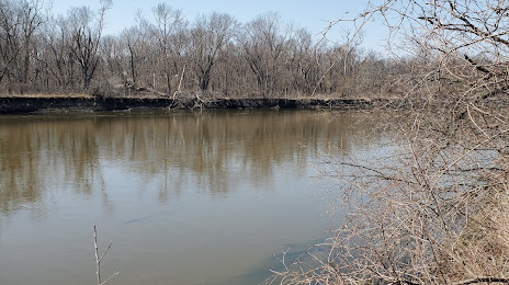
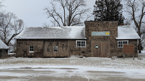
Marshall County
Skykomish
Ontario
Emmett
Fillmore
Dahlgren
Socorro
Prairie View
Yorktown Heights
Warsaw
North Tonawanda
Saint Albans City
Stony Brook
Notre Dame
Lyles
Newberry
Tallapoosa
Talladega
Blackwell
Marshall County
Skykomish
Ontario
Emmett
Fillmore
Marshalltown on the map, United States
Where is located Marshalltown
Exact location — Marshalltown, Marshall County, Iowa, United States, marked on the map with a red marker.
Coordinates
Marshalltown, United States coordinates in decimal format: latitude — 42.0494674, longitude — -92.9080375. When converted to degrees, minutes, seconds Marshalltown has the following coordinates: 42°2′58.08 north latitude and -92°54′28.94 east longitude.
Population
Marshalltown, Marshall County, Iowa, United States, according to our data the population is — 25,554 residents, which is about 0% of the total population of the country (United States).
Comparison of the population on the graph:
Exact time
Time zone for this location Marshalltown — UTC -5 America/Chicago. Exact time — tuesday, 4 april 2024 year, 19 h. 50 minutes.
Sunrise and sunset
Marshalltown, sunrise and sunset data for a date — tuesday 16.04.2024.
| Sunrise | Sunset | Day (duration) |
|---|---|---|
| 06:31 -1 minute | 19:51 +1 minute | 13 h. 18 minutes. +2 minutes |
You can control the scale of the map using the auxiliary tools to find out exactly where it is located Marshalltown. When you change the scale of the map, the width of the ruler also changes (in kilometers and miles).
Nearby cities
The largest cities that are located nearby:
- Des Moines — 76 km
- Omaha — 272 km
- Madison — 305 km
- Rockford — 313 km
- Peoria — 316 km
- Saint Paul — 321 km
- Minneapolis — 325 km
- Lincoln — 344 km
- Sioux Falls — 348 km
- North Kansas City — 352 km
- Independence — 352 km
- Kansas City — 356 km
- Overland Park — 371 km
- Aurora — 380 km
- Olathe — 387 km
- Naperville — 394 km
- Joliet — 404 km
- Topeka — 408 km
- Milwaukee — 419 km
Distance to neighboring capitals:
- Ottawa
 (Canada) — 1430 km
 - Mexico City
 (Mexico) — 2583 km
 - Belmopan
 (Belize) — 2786 km
 - Guatemala City
 (Guatemala) — 3060 km
 - Nuuk
 (Greenland) — 3579 km
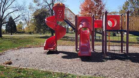
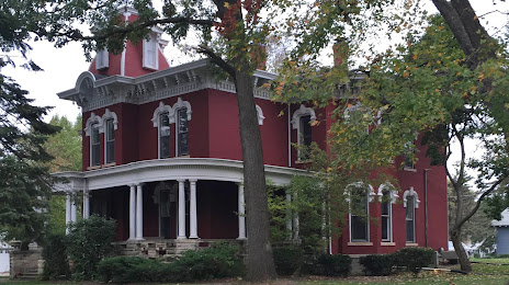
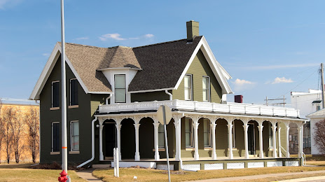
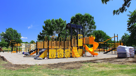
Attractions
Distance to the capital
Distance to the capital (Washington) is about — 1385 km.