 Socorro
Prairie View
Yorktown Heights
Warsaw
North Tonawanda
Saint Albans City
Stony Brook
Notre Dame
Copiague
Dearing
Lyles
Newberry
Tallapoosa
Talladega
Blackwell
Marshall County
Skykomish
Ontario
Emmett
Socorro
Prairie View
Yorktown Heights
Warsaw
North Tonawanda
Saint Albans City
Stony Brook
Notre Dame
Copiague
Dearing
Lyles
Newberry
Tallapoosa
Talladega
Blackwell
Marshall County
Skykomish
Ontario
Emmett
New Smyrna Beach on the map, United States
Where is located New Smyrna Beach
Exact location — New Smyrna Beach, Volusia County, Florida, United States, marked on the map with a red marker.
Coordinates
New Smyrna Beach, United States coordinates in decimal format: latitude — 29.0258191, longitude — -80.9269984. When converted to degrees, minutes, seconds New Smyrna Beach has the following coordinates: 29°1′32.95 north latitude and -80°55′37.19 east longitude.
Population
New Smyrna Beach, Volusia County, Florida, United States, according to our data the population is — 21,234 residents, which is about 0% of the total population of the country (United States).
Comparison of the population on the graph:
Exact time
Time zone for this location New Smyrna Beach — UTC -4 America/New_York. Exact time — thursday, 4 april 2024 year, 13 h. 54 minutes.
Sunrise and sunset
New Smyrna Beach, sunrise and sunset data for a date — thursday 25.04.2024.
| Sunrise | Sunset | Day (duration) |
|---|---|---|
| 06:49 -1 minute | 19:53 +1 minute | 13 h. 6 minutes. +2 minutes |
You can control the scale of the map using the auxiliary tools to find out exactly where it is located New Smyrna Beach. When you change the scale of the map, the width of the ruler also changes (in kilometers and miles).
Nearby cities
The largest cities that are located nearby:
- Orlando — 70 km
- Gainesville — 151 km
- Jacksonville — 160 km
- Brandon — 179 km
- Tampa — 191 km
- Port Saint Lucie — 202 km
- Clearwater — 217 km
- Saint Petersburg — 217 km
- Cape Coral — 290 km
- Coral Springs — 311 km
- Fort Lauderdale — 330 km
- Savannah — 338 km
- Pembroke Pines — 340 km
- Miramar — 342 km
- Hollywood — 342 km
- Tallahassee — 356 km
- Hialeah — 356 km
- Miami — 368 km
- Charleston — 425 km
Distance to neighboring capitals:
- Belmopan
 (Belize) — 1534 km
 - Ottawa
 (Canada) — 1880 km
 - Guatemala City
 (Guatemala) — 1883 km
 - Mexico City
 (Mexico) — 2129 km
 - Nuuk
 (Greenland) — 4417 km
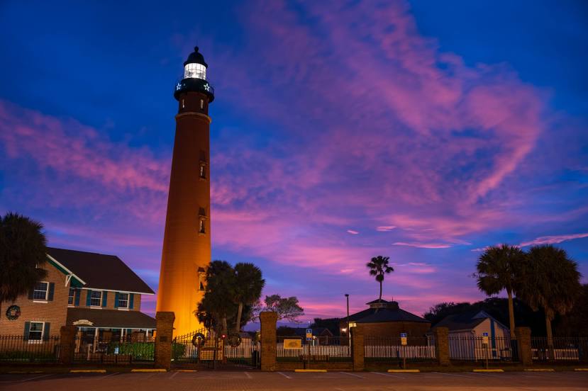
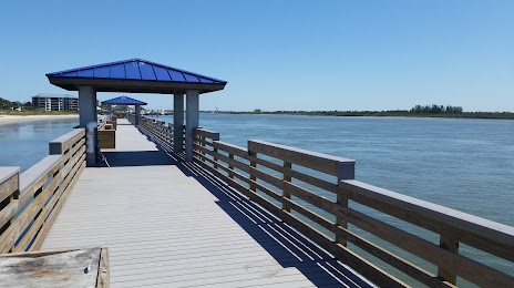
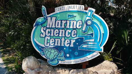
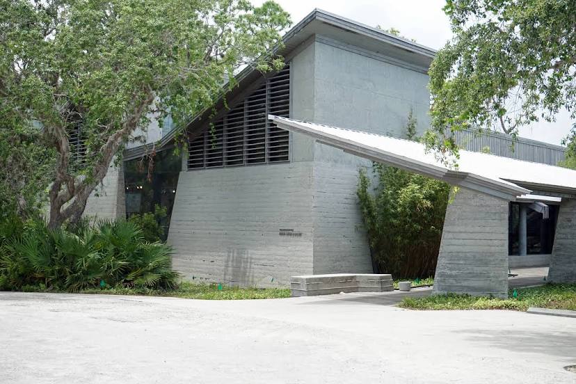
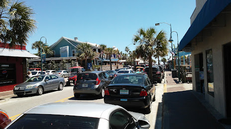
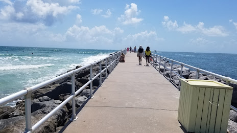
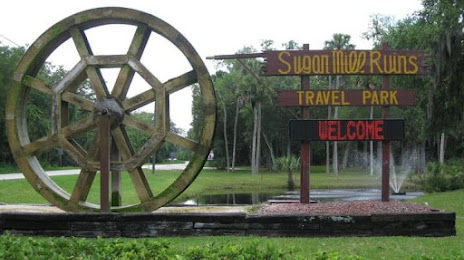
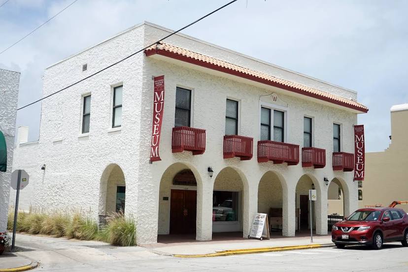
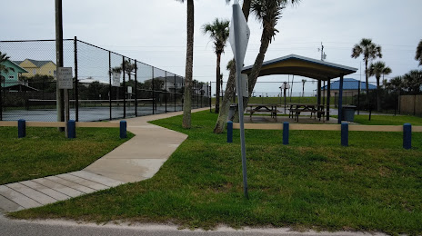
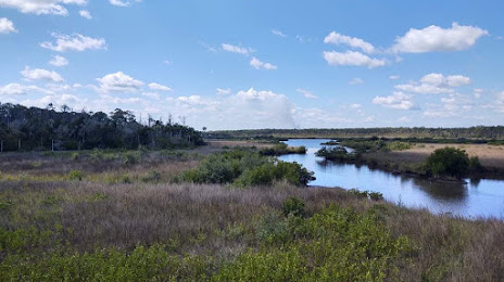
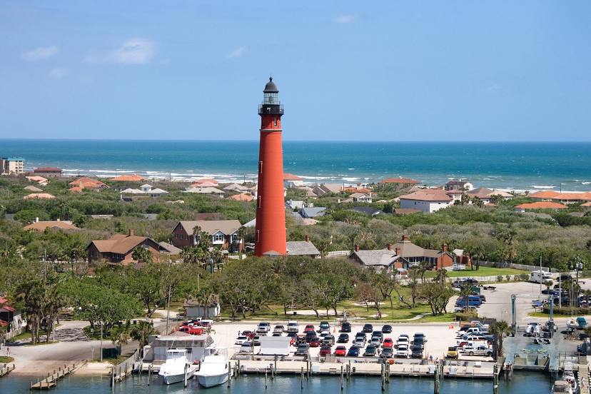
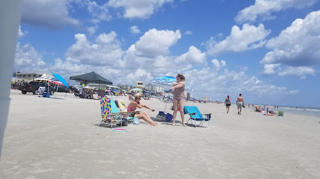
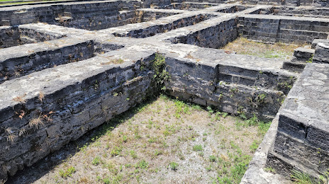
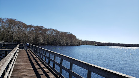
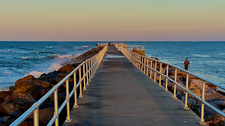
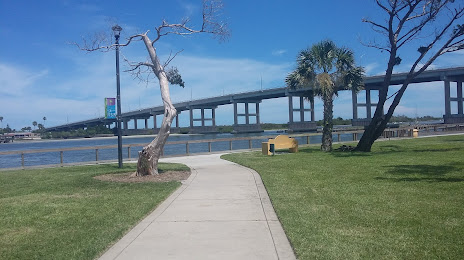
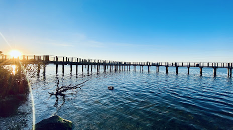
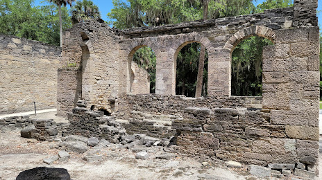
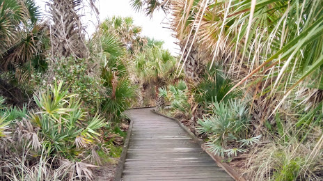
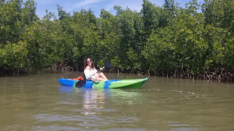
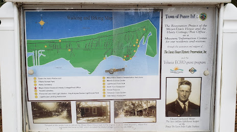
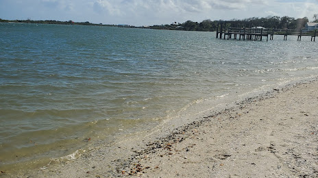
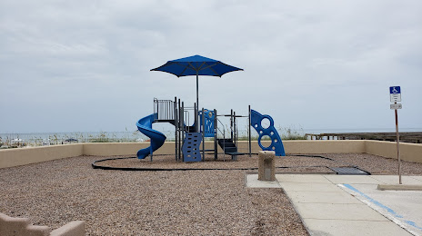
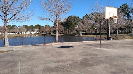
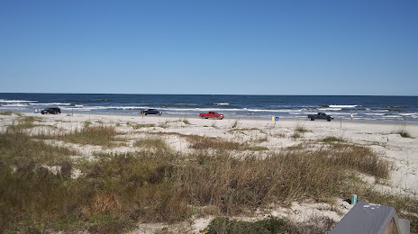
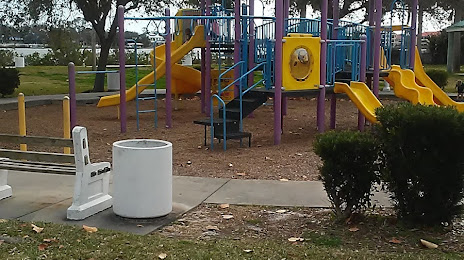
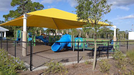
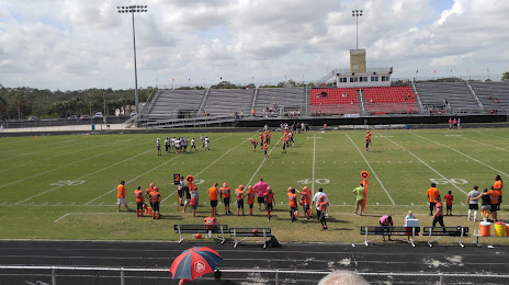
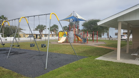
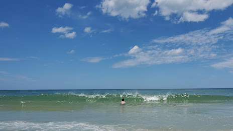
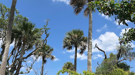
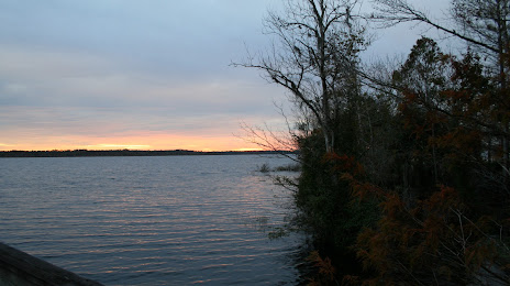
Attractions


Distance to the capital
Distance to the capital (Washington) is about — 1156 km.