 North Tonawanda
Saint Albans City
Stony Brook
Notre Dame
Copiague
Orono
Northfield
Monterey
South Kingstown
Yreka
Newport
Brent
Cornersville
Dearing
Lyles
Newberry
Tallapoosa
Talladega
Blackwell
North Tonawanda
Saint Albans City
Stony Brook
Notre Dame
Copiague
Orono
Northfield
Monterey
South Kingstown
Yreka
Newport
Brent
Cornersville
Dearing
Lyles
Newberry
Tallapoosa
Talladega
Blackwell
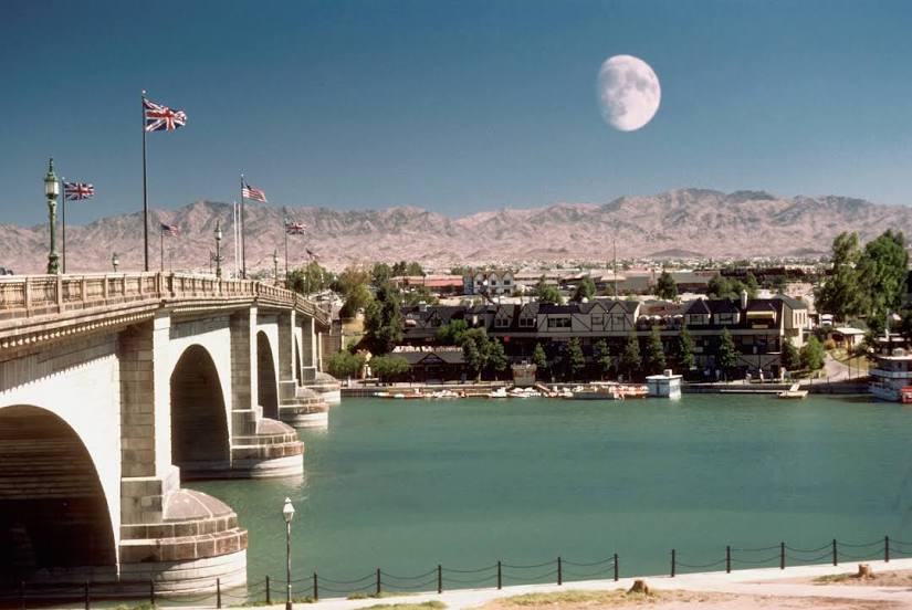
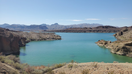
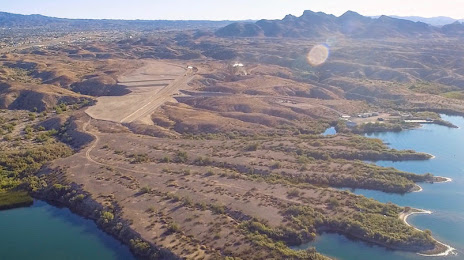
Lake Havasu City on the map, United States
Where is located Lake Havasu City
Exact location — Lake Havasu City, Mohave County, Arizona, United States, marked on the map with a red marker.
Coordinates
Lake Havasu City, United States coordinates in decimal format: latitude — 34.483901, longitude — -114.3224548. When converted to degrees, minutes, seconds Lake Havasu City has the following coordinates: 34°29′2.04 north latitude and -114°19′20.84 east longitude.
Population
Lake Havasu City, Mohave County, Arizona, United States, according to our data the population is — 54,752 residents, which is about 0% of the total population of the country (United States).
Comparison of the population on the graph:
Exact time
Time zone for this location Lake Havasu City — UTC -7 America/Phoenix. Exact time — tuesday, 4 april 2024 year, 07 h. 36 minutes.
Sunrise and sunset
Lake Havasu City, sunrise and sunset data for a date — tuesday 16.04.2024.
| Sunrise | Sunset | Day (duration) |
|---|---|---|
| 06:06 -1 minute | 19:07 +1 minute | 13 h. 0 minutes. +2 minutes |
You can control the scale of the map using the auxiliary tools to find out exactly where it is located Lake Havasu City. When you change the scale of the map, the width of the ruler also changes (in kilometers and miles).
Nearby cities
The largest cities that are located nearby:
- Henderson — 182 km
- Spring Valley — 198 km
- Las Vegas — 200 km
- North Las Vegas — 202 km
- Peoria — 216 km
- Glendale — 223 km
- San Luis Río Colorado
 (Mexico) — 229 km
 - Mexicali (Mexico) — 231 km
- Phoenix — 237 km
- Scottsdale — 247 km
- Tempe — 249 km
- Mesa — 258 km
- Chandler — 264 km
- Gilbert — 265 km
- Moreno Valley — 273 km
- San Bernardino — 275 km
- Rialto — 282 km
- Riverside — 288 km
- Fontana — 288 km
Distance to neighboring capitals:
- Mexico City (Mexico) — 2246 km
- Belmopan
 (Belize) — 3180 km
 - Guatemala City
 (Guatemala) — 3251 km
 - Ottawa
 (Canada) — 3471 km
 - Nuuk
 (Greenland) — 5289 km
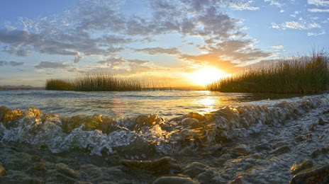
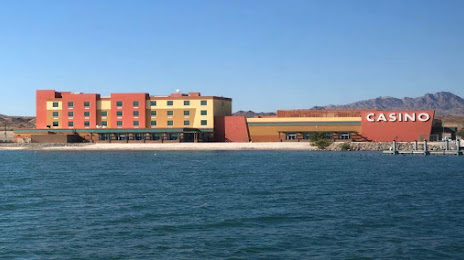
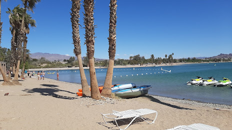
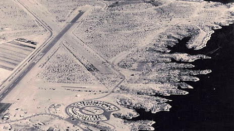
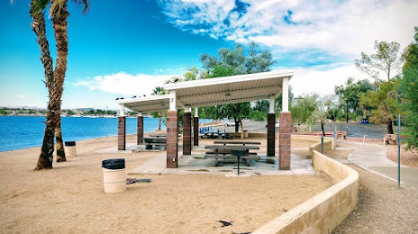
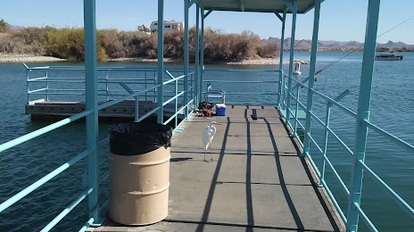
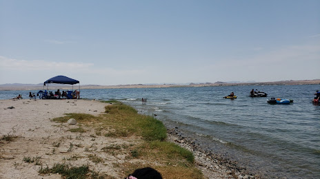
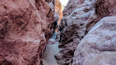
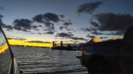
Attractions

Distance to the capital
Distance to the capital (Washington) is about — 3338 km.