 Smithsburg
Halfway
New Paltz
Waterville
Brookings
Geneseo Airport
Riverton
Sheridan Airport
Rock Springs
Delano
Castaic
Fort Montgomery
Lake Havasu City
White City
Royersford
Medfield
New Smyrna Beach
Marshalltown
Canadian
Smithsburg
Halfway
New Paltz
Waterville
Brookings
Geneseo Airport
Riverton
Sheridan Airport
Rock Springs
Delano
Castaic
Fort Montgomery
Lake Havasu City
White City
Royersford
Medfield
New Smyrna Beach
Marshalltown
Canadian
Stony Brook on the map, United States
Where is located Stony Brook
Exact location — Stony Brook, Suffolk County, New York, United States, marked on the map with a red marker.
Coordinates
Stony Brook, United States coordinates in decimal format: latitude — 40.9256538, longitude — -73.1409429. When converted to degrees, minutes, seconds Stony Brook has the following coordinates: 40°55′32.35 north latitude and -73°8′27.39 east longitude.
Population
Stony Brook, Suffolk County, New York, United States, according to our data the population is — 13,620 residents, which is about 0% of the total population of the country (United States).
Comparison of the population on the graph:
Exact time
Time zone for this location Stony Brook — UTC -4 America/New_York. Exact time — tuesday, 4 april 2024 year, 05 h. 00 minutes.
Sunrise and sunset
Stony Brook, sunrise and sunset data for a date — tuesday 23.04.2024.
| Sunrise | Sunset | Day (duration) |
|---|---|---|
| 06:03 -2 minutes | 19:37 +1 minute | 13 h. 36 minutes. +3 minutes |
You can control the scale of the map using the auxiliary tools to find out exactly where it is located Stony Brook. When you change the scale of the map, the width of the ruler also changes (in kilometers and miles).
Nearby cities
The largest cities that are located nearby:
- Bridgeport — 29 km
- Stamford — 36 km
- New Haven — 46 km
- Yonkers — 63 km
- Waterbury — 70 km
- Brooklyn — 76 km
- New York — 76 km
- Paterson — 86 km
- Newark — 89 km
- Elizabeth — 94 km
- Hartford — 100 km
- Edison — 116 km
- Springfield — 138 km
- Toms River — 140 km
- Amherst — 165 km
- Providence — 174 km
- Worcester — 184 km
- Allentown — 200 km
- Philadelphia — 203 km
Distance to neighboring capitals:
- Ottawa
 (Canada) — 541 km
 - Nuuk
 (Greenland) — 2931 km
 - Belmopan
 (Belize) — 3029 km
 - Guatemala City
 (Guatemala) — 3376 km
 - Mexico City
 (Mexico) — 3433 km
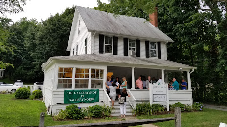
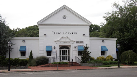
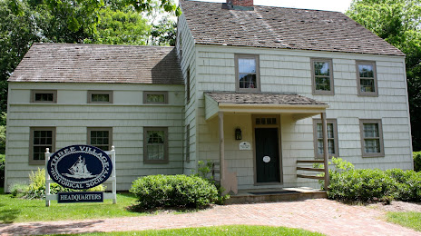
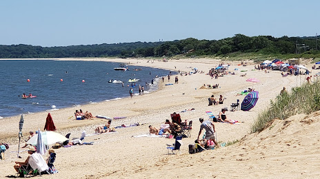
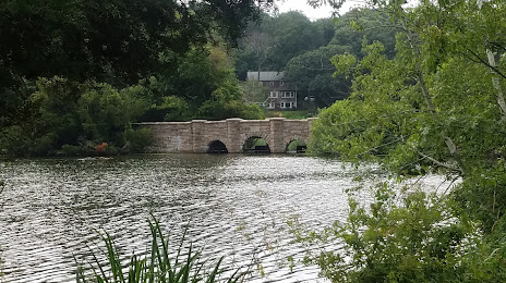
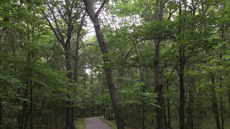
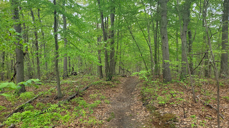
Attractions


Distance to the capital
Distance to the capital (Washington) is about — 401 km.