 Moorhead
Gambier
Greenup
Russell County
Gloucester Point
Wilmore
Paint Lick
Burkesville
Lebanon
Saint Albans City
North Tonawanda
Warsaw
Yorktown Heights
Prairie View
Socorro
Dahlgren
Potsdam
Senatobia
Montevallo
Moorhead
Gambier
Greenup
Russell County
Gloucester Point
Wilmore
Paint Lick
Burkesville
Lebanon
Saint Albans City
North Tonawanda
Warsaw
Yorktown Heights
Prairie View
Socorro
Dahlgren
Potsdam
Senatobia
Montevallo
Claremont on the map, United States
Where is located Claremont
Exact location — Claremont, Los Angeles County, California, United States, marked on the map with a red marker.
Coordinates
Claremont, United States coordinates in decimal format: latitude — 34.0966764, longitude — -117.7197785. When converted to degrees, minutes, seconds Claremont has the following coordinates: 34°5′48.04 north latitude and -117°43′11.2 east longitude.
Population
Claremont, Los Angeles County, California, United States, according to our data the population is — 35,368 residents, which is about 0% of the total population of the country (United States).
Comparison of the population on the graph:
Exact time
Time zone for this location Claremont — UTC -7 America/Los_Angeles. Exact time — wednesday, 4 april 2024 year, 20 h. 28 minutes.
Sunrise and sunset
Claremont, sunrise and sunset data for a date — wednesday 17.04.2024.
| Sunrise | Sunset | Day (duration) |
|---|---|---|
| 06:19 -1 minute | 19:21 +1 minute | 13 h. 0 minutes. +2 minutes |
You can control the scale of the map using the auxiliary tools to find out exactly where it is located Claremont. When you change the scale of the map, the width of the ruler also changes (in kilometers and miles).
Nearby cities
The largest cities that are located nearby:
- Pomona — 5 km
- Ontario — 7 km
- Rancho Cucamonga — 12 km
- West Covina — 20 km
- Fontana — 26 km
- Corona — 28 km
- El Monte — 28 km
- Fullerton — 31 km
- Rialto — 32 km
- Riverside — 34 km
- Anaheim — 34 km
- Orange — 36 km
- Pasadena — 39 km
- San Bernardino — 39 km
- Norwalk — 40 km
- Garden Grove — 41 km
- Santa Ana — 41 km
- Downey — 42 km
- East Los Angeles — 42 km
Distance to neighboring capitals:
- Mexico City
 (Mexico) — 2455 km
 - Belmopan
 (Belize) — 3435 km
 - Guatemala City
 (Guatemala) — 3484 km
 - Ottawa
 (Canada) — 3758 km
 - Nuuk
 (Greenland) — 5489 km
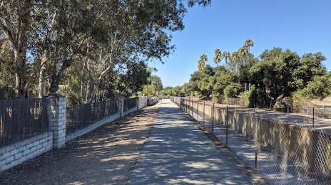
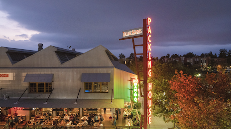
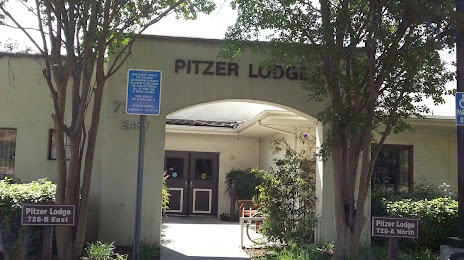
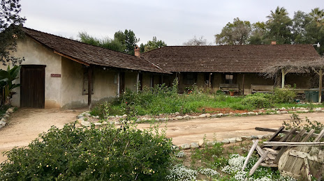
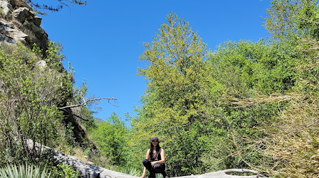
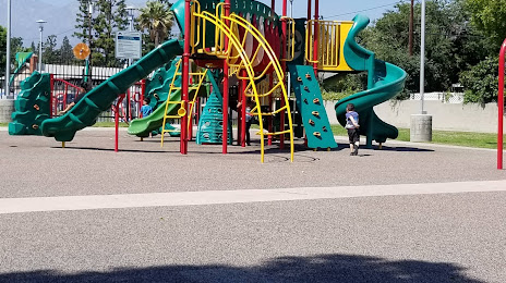
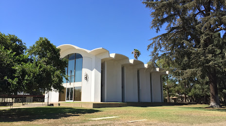
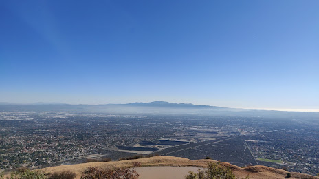
Attractions


Distance to the capital
Distance to the capital (Washington) is about — 3646 km.