 East Orange
Sidman
Kerhonkson
Port Jefferson
Ogdensburg
Cooperstown
Weehawken
Wildwood
Ocean City
Moorhead
Cochiti
Rock Springs
Sheridan Airport
Riverton
Geneseo Airport
Brookings
Waterville
New Paltz
Halfway
East Orange
Sidman
Kerhonkson
Port Jefferson
Ogdensburg
Cooperstown
Weehawken
Wildwood
Ocean City
Moorhead
Cochiti
Rock Springs
Sheridan Airport
Riverton
Geneseo Airport
Brookings
Waterville
New Paltz
Halfway
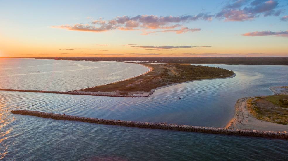
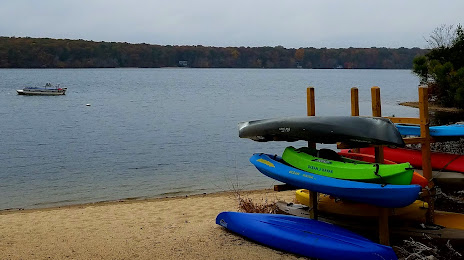
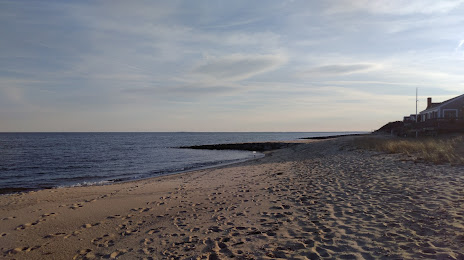
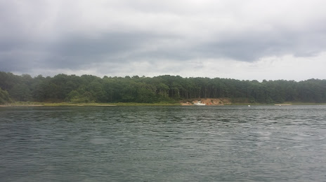
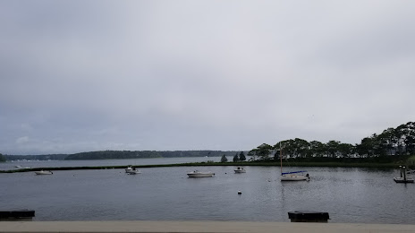
Mashpee on the map, United States
Where is located Mashpee
Exact location — Mashpee, Barnstable County, Massachusetts, United States, marked on the map with a red marker.
Coordinates
Mashpee, United States coordinates in decimal format: latitude — 41.647872, longitude — -70.4819674. When converted to degrees, minutes, seconds Mashpee has the following coordinates: 41°38′52.34 north latitude and -70°28′55.08 east longitude.
Population
Mashpee, Barnstable County, Massachusetts, United States, according to our data the population is — 14,834 residents, which is about 0% of the total population of the country (United States).
Comparison of the population on the graph:
Exact time
Time zone for this location Mashpee — UTC -4 America/New_York. Exact time — saturday, 4 april 2024 year, 05 h. 43 minutes.
Sunrise and sunset
Mashpee, sunrise and sunset data for a date — saturday 20.04.2024.
| Sunrise | Sunset | Day (duration) |
|---|---|---|
| 05:56 -1 minute | 19:25 +1 minute | 13 h. 30 minutes. +2 minutes |
You can control the scale of the map using the auxiliary tools to find out exactly where it is located Mashpee. When you change the scale of the map, the width of the ruler also changes (in kilometers and miles).
Nearby cities
The largest cities that are located nearby:
- Providence — 79 km
- Boston — 92 km
- Cambridge — 95 km
- Worcester — 128 km
- Lowell — 128 km
- Manchester — 168 km
- Springfield — 180 km
- Amherst — 182 km
- Hartford — 182 km
- New Haven — 207 km
- Waterbury — 213 km
- Bridgeport — 231 km
- Stamford — 263 km
- Yonkers — 296 km
- Brooklyn — 313 km
- New York — 313 km
- Paterson — 319 km
- Newark — 325 km
- Elizabeth — 331 km
Distance to neighboring capitals:
- Ottawa
 (Canada) — 594 km
 - Nuuk
 (Greenland) — 2779 km
 - Belmopan
 (Belize) — 3225 km
 - Guatemala City
 (Guatemala) — 3573 km
 - Mexico City
 (Mexico) — 3661 km
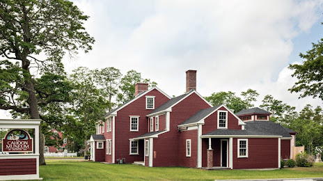
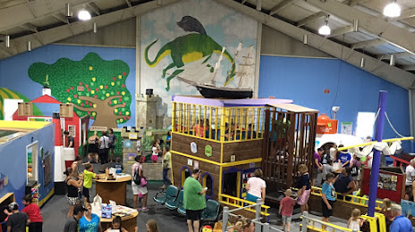
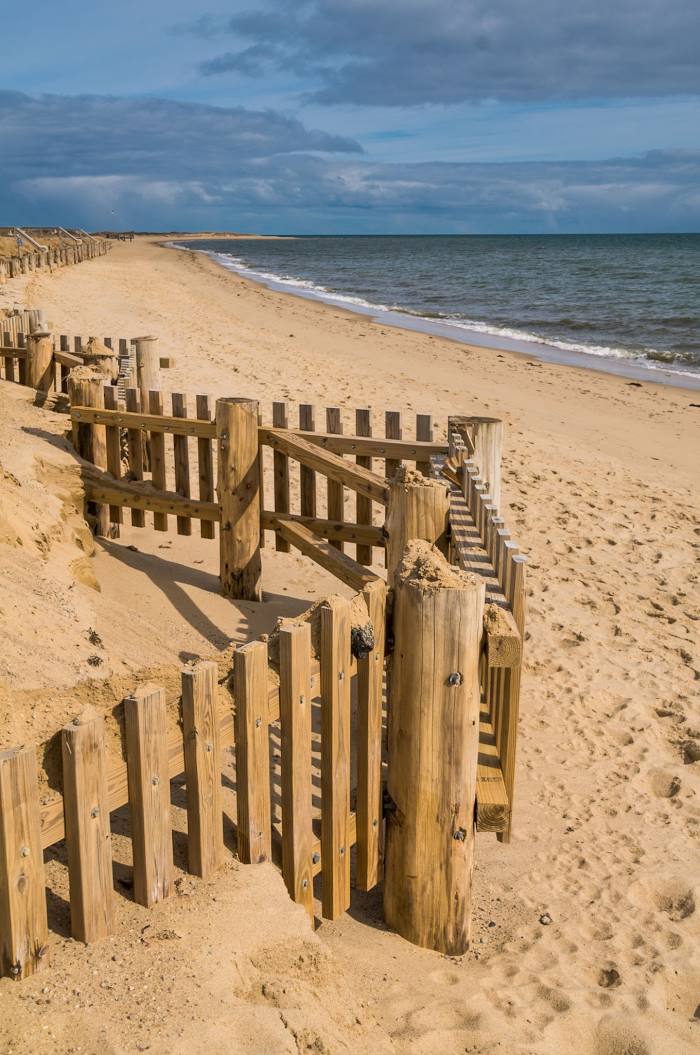
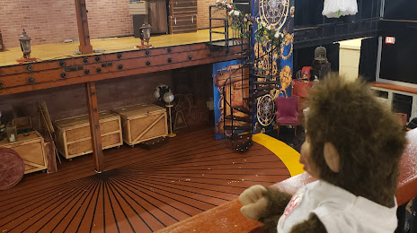
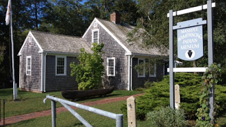
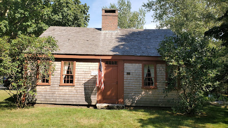
Attractions


Distance to the capital
Distance to the capital (Washington) is about — 634 km.