 Kerhonkson
Port Jefferson
Ogdensburg
Cooperstown
Weehawken
Wildwood
Ocean City
Runnemede
Cedarville
Greenup
Gambier
Moorhead
Cochiti
Rock Springs
Sheridan Airport
Riverton
Geneseo Airport
Brookings
Waterville
Kerhonkson
Port Jefferson
Ogdensburg
Cooperstown
Weehawken
Wildwood
Ocean City
Runnemede
Cedarville
Greenup
Gambier
Moorhead
Cochiti
Rock Springs
Sheridan Airport
Riverton
Geneseo Airport
Brookings
Waterville
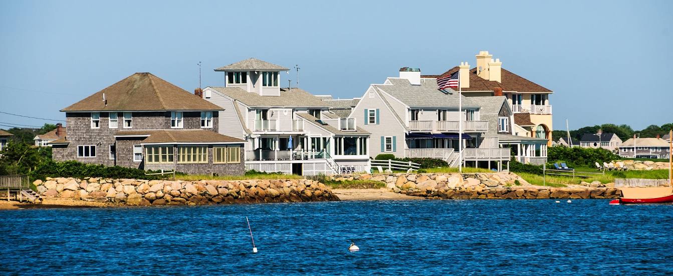
Barnstable on the map, United States
Where is located Barnstable
Exact location — Barnstable, Barnstable County, Massachusetts, United States, marked on the map with a red marker.
Coordinates
Barnstable, United States coordinates in decimal format: latitude — 41.7003208, longitude — -70.3002024. When converted to degrees, minutes, seconds Barnstable has the following coordinates: 41°42′1.15 north latitude and -70°18′0.73 east longitude.
Population
Barnstable, Barnstable County, Massachusetts, United States, according to our data the population is — 47,821 residents, which is about 0% of the total population of the country (United States).
Comparison of the population on the graph:
Exact time
Time zone for this location Barnstable — UTC -4 America/New_York. Exact time — thursday, 4 april 2024 year, 23 h. 56 minutes.
Sunrise and sunset
Barnstable, sunrise and sunset data for a date — thursday 18.04.2024.
| Sunrise | Sunset | Day (duration) |
|---|---|---|
| 05:58 -1 minute | 19:22 +1 minute | 13 h. 24 minutes. +2 minutes |
You can control the scale of the map using the auxiliary tools to find out exactly where it is located Barnstable. When you change the scale of the map, the width of the ruler also changes (in kilometers and miles).
Nearby cities
The largest cities that are located nearby:
- Providence — 93 km
- Boston — 96 km
- Cambridge — 100 km
- Lowell — 132 km
- Worcester — 138 km
- Manchester — 171 km
- Amherst — 193 km
- Springfield — 193 km
- Hartford — 197 km
- New Haven — 222 km
- Waterbury — 228 km
- Bridgeport — 247 km
- Stamford — 279 km
- Yonkers — 312 km
- Brooklyn — 329 km
- New York — 329 km
- Paterson — 335 km
- Newark — 341 km
- Elizabeth — 347 km
Distance to neighboring capitals:
- Ottawa
 (Canada) — 600 km
 - Nuuk
 (Greenland) — 2768 km
 - Belmopan
 (Belize) — 3239 km
 - Guatemala City
 (Guatemala) — 3587 km
 - Mexico City
 (Mexico) — 3677 km
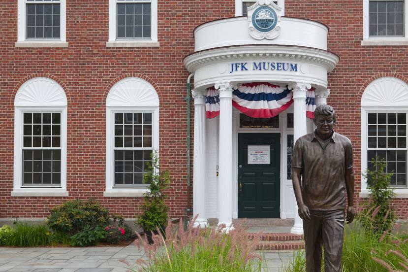
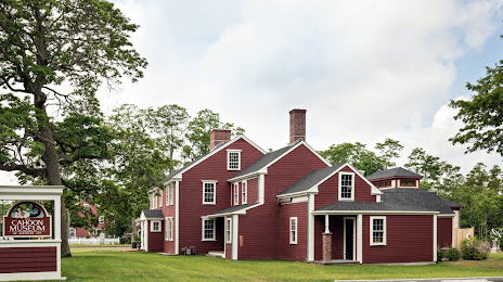
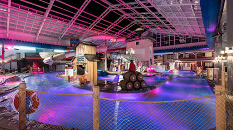
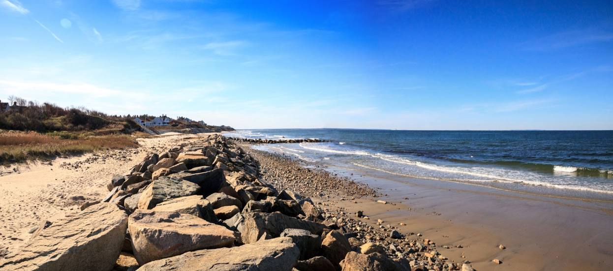
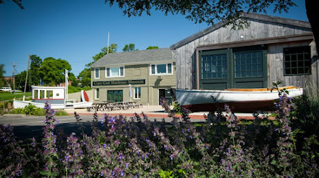
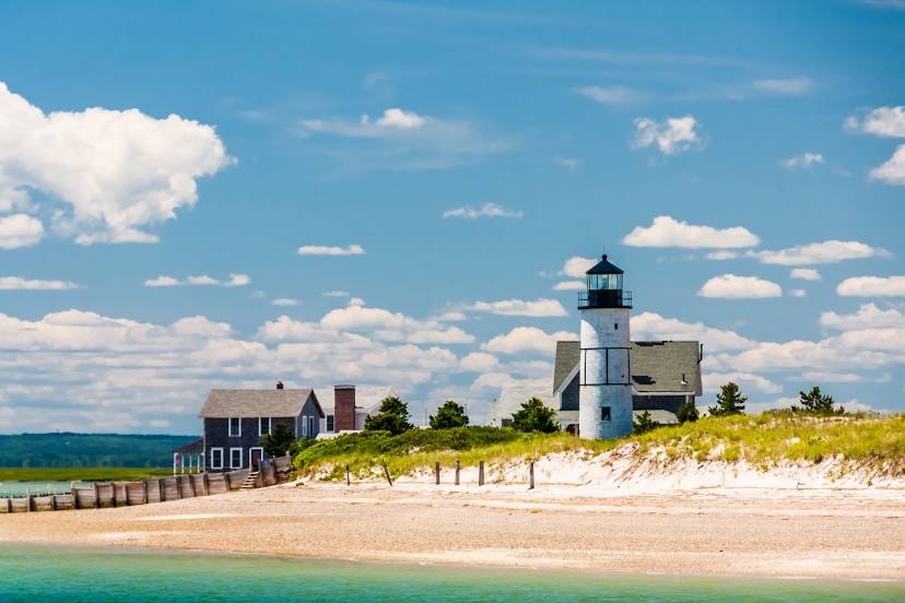
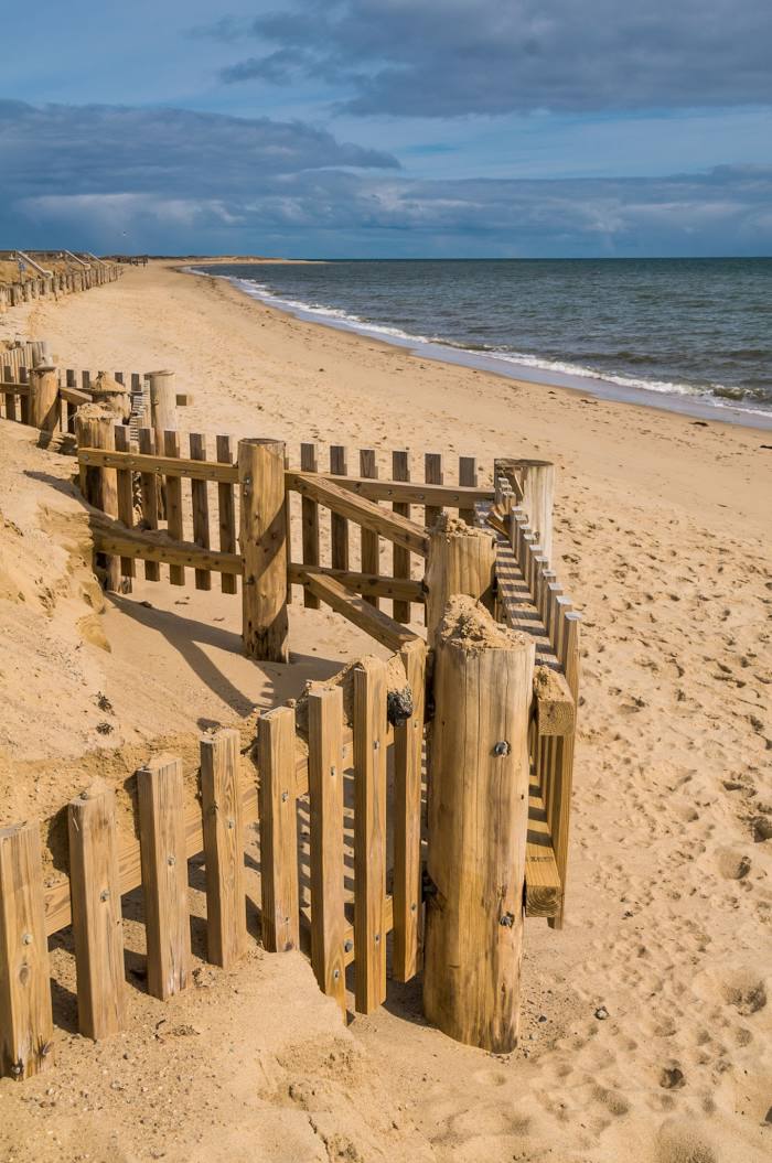
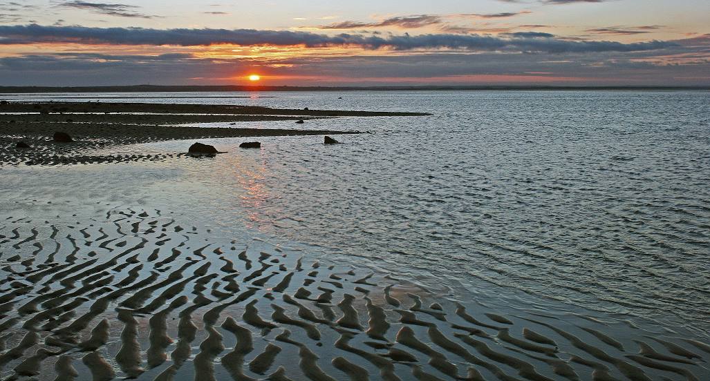
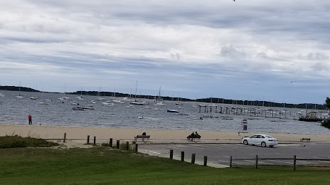
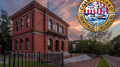
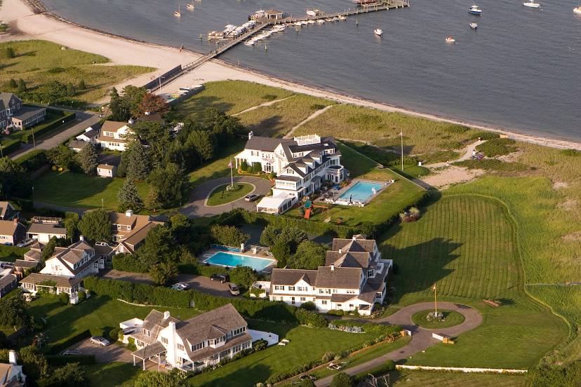
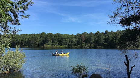
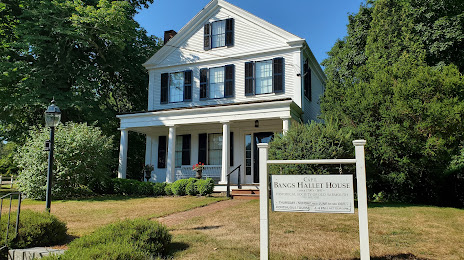
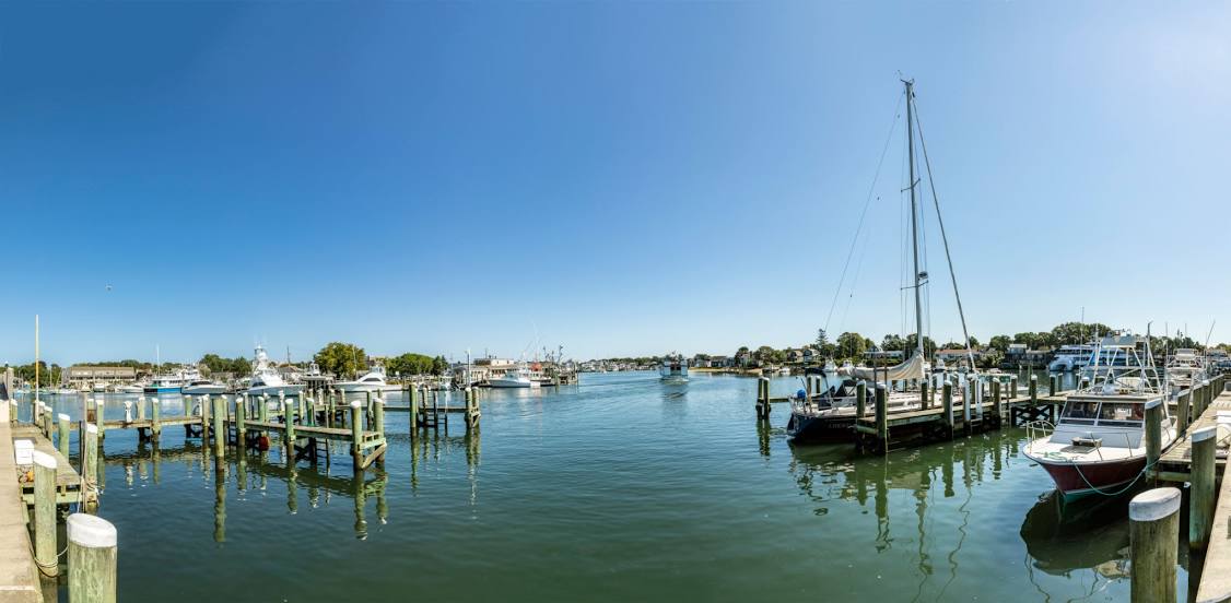
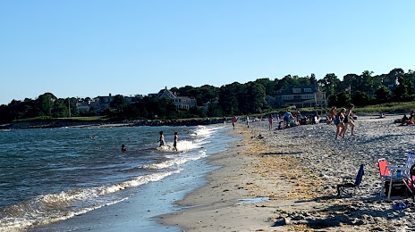
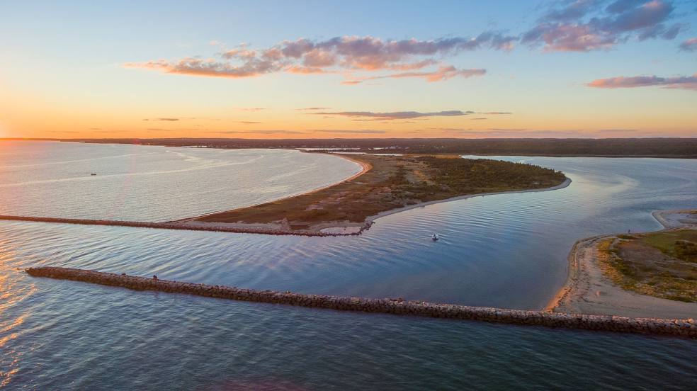
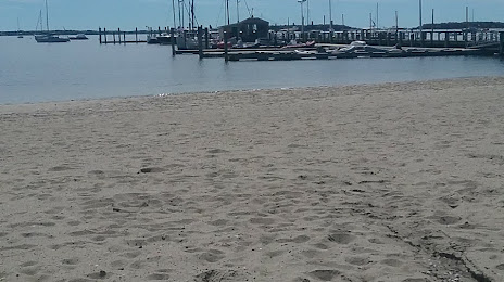
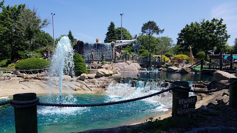
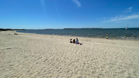
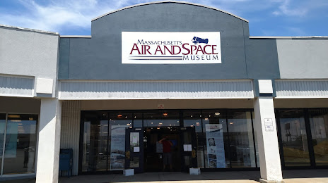
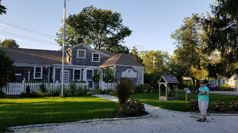
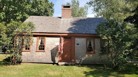
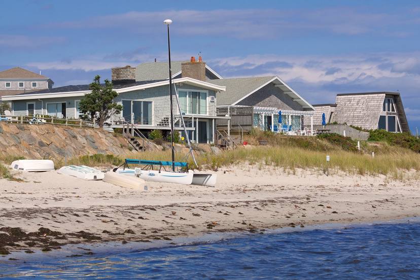
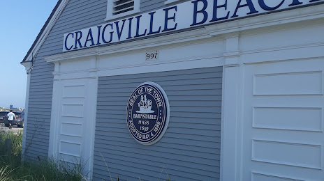
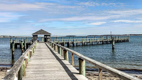
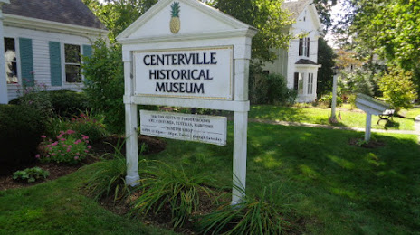
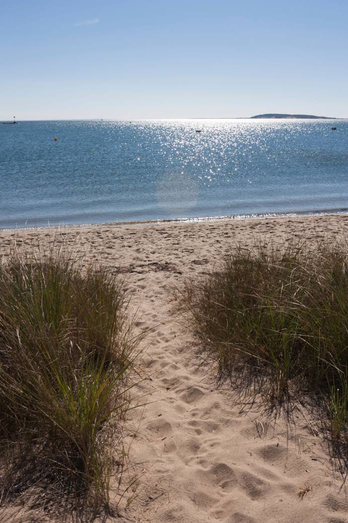
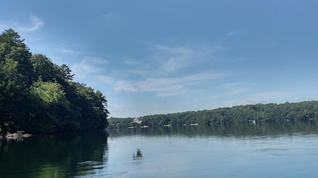
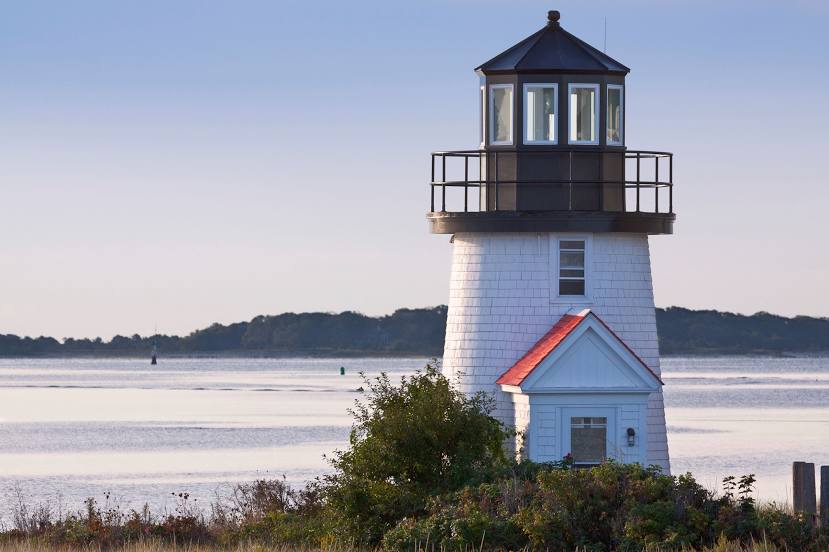
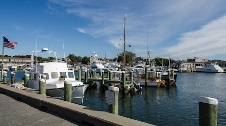
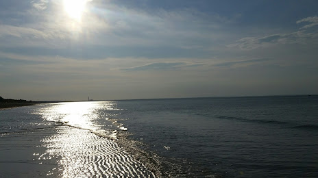
Attractions


Distance to the capital
Distance to the capital (Washington) is about — 650 km.