 Bridgewater
Fishertown
Cairnbrook
Jerome
Carrolltown
Fort Drum
Waynesburg
Kapaau
Edinboro
Beach Haven
Macungie
Townsend Airport
Lambertville
Unionville
Shiloh
Kulpsville
Avondale
Douglassville
Orwigsburg
Bridgewater
Fishertown
Cairnbrook
Jerome
Carrolltown
Fort Drum
Waynesburg
Kapaau
Edinboro
Beach Haven
Macungie
Townsend Airport
Lambertville
Unionville
Shiloh
Kulpsville
Avondale
Douglassville
Orwigsburg
Wyomissing on the map, United States
Where is located Wyomissing
Exact location — Wyomissing, Berks County, Pennsylvania, United States, marked on the map with a red marker.
Coordinates
Wyomissing, United States coordinates in decimal format: latitude — 40.329537, longitude — -75.9652117. When converted to degrees, minutes, seconds Wyomissing has the following coordinates: 40°19′46.33 north latitude and -75°57′54.76 east longitude.
Population
Wyomissing, Berks County, Pennsylvania, United States, according to our data the population is — 11,124 residents, which is about 0% of the total population of the country (United States).
Comparison of the population on the graph:
Exact time
Time zone for this location Wyomissing — UTC -4 America/New_York. Exact time — thursday, 4 april 2024 year, 17 h. 48 minutes.
Sunrise and sunset
Wyomissing, sunrise and sunset data for a date — thursday 25.04.2024.
| Sunrise | Sunset | Day (duration) |
|---|---|---|
| 06:13 -1 minute | 19:50 +1 minute | 13 h. 36 minutes. +2 minutes |
You can control the scale of the map using the auxiliary tools to find out exactly where it is located Wyomissing. When you change the scale of the map, the width of the ruler also changes (in kilometers and miles).
Nearby cities
The largest cities that are located nearby:
- Allentown — 50 km
- Philadelphia — 80 km
- Baltimore — 128 km
- Edison — 132 km
- Elizabeth — 152 km
- Toms River — 155 km
- Newark — 157 km
- Paterson — 163 km
- New York — 170 km
- Brooklyn — 170 km
- Yonkers — 185 km
- Alexandria — 193 km
- Stamford — 218 km
- Bridgeport — 249 km
- New Haven — 274 km
- Waterbury — 277 km
- Syracuse — 301 km
- Hartford — 314 km
- Richmond — 334 km
Distance to neighboring capitals:
- Ottawa
 (Canada) — 567 km
 - Belmopan
 (Belize) — 2847 km
 - Nuuk
 (Greenland) — 3081 km
 - Guatemala City
 (Guatemala) — 3191 km
 - Mexico City
 (Mexico) — 3204 km
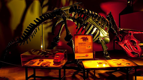
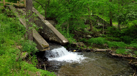
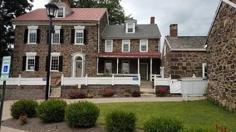
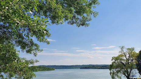
Attractions


Distance to the capital
Distance to the capital (Washington) is about — 183 km.