 Wadesboro
Black Mountain
Sylva
Manson
Kenansville
Lillington
Spindale
Everetts
Wentworth
Wyomissing
Nesquehoning
Birdsboro
Andreas
Clarksburg
Lafayette Hill
Frederica
Valley Grove
Elmer
Williamstown
Wadesboro
Black Mountain
Sylva
Manson
Kenansville
Lillington
Spindale
Everetts
Wentworth
Wyomissing
Nesquehoning
Birdsboro
Andreas
Clarksburg
Lafayette Hill
Frederica
Valley Grove
Elmer
Williamstown
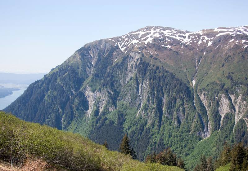
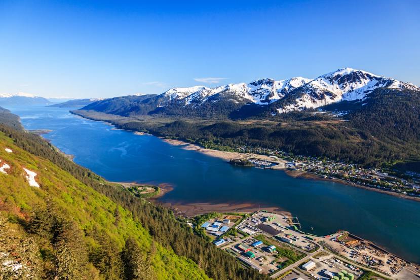
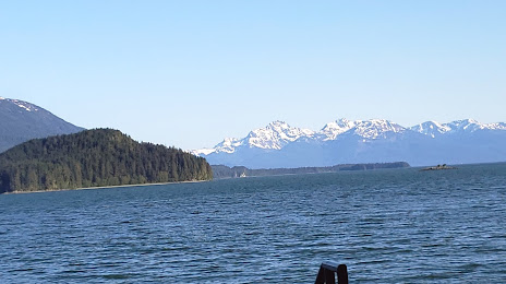
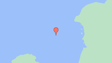
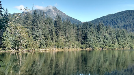
Juneau on the map, United States
Where is located Juneau
Exact location — Juneau, Juneau, Alaska, United States, marked on the map with a red marker.
Coordinates
Juneau, United States coordinates in decimal format: latitude — 58.3019444, longitude — -134.4197222. When converted to degrees, minutes, seconds Juneau has the following coordinates: 58°18′7 north latitude and -134°25′11 east longitude.
Population
Juneau, Juneau, Alaska, United States, according to our data the population is — 31,796 residents, which is about 0% of the total population of the country (United States).
Comparison of the population on the graph:
Exact time
Time zone for this location Juneau — UTC -8 America/Anchorage. Exact time — tuesday, 4 april 2024 year, 22 h. 00 minutes.
Sunrise and sunset
Juneau, sunrise and sunset data for a date — tuesday 23.04.2024.
| Sunrise | Sunset | Day (duration) |
|---|---|---|
| 05:26 -3 minutes | 20:25 +2 minutes | 15 h. 0 minutes. +5 minutes |
You can control the scale of the map using the auxiliary tools to find out exactly where it is located Juneau. When you change the scale of the map, the width of the ruler also changes (in kilometers and miles).
Nearby cities
The largest cities that are located nearby:
- Anchorage — 885 km
- Vancouver
 (Canada) — 1288 km
 - Burnaby (Canada) — 1296 km
- Anmore (Canada) — 1297 km
- Richmond (Canada) — 1298 km
- Coquitlam (Canada) — 1303 km
- Surrey (Canada) — 1310 km
- Delta (Canada) — 1310 km
- Abbotsford (Canada) — 1346 km
- Victoria (Canada) — 1360 km
- Kelowna (Canada) — 1413 km
- Edmonton (Canada) — 1472 km
- Seattle — 1487 km
- Bellevue — 1492 km
- Tacoma — 1517 km
- Calgary (Canada) — 1626 km
- Portland — 1680 km
- Salem — 1725 km
- Spokane — 1728 km
Distance to neighboring capitals:
- Ottawa (Canada) — 4127 km
- Nuuk
 (Greenland) — 4154 km
 - Mexico City
 (Mexico) — 5179 km
 - Belmopan
 (Belize) — 5885 km
 - Guatemala City
 (Guatemala) — 6059 km
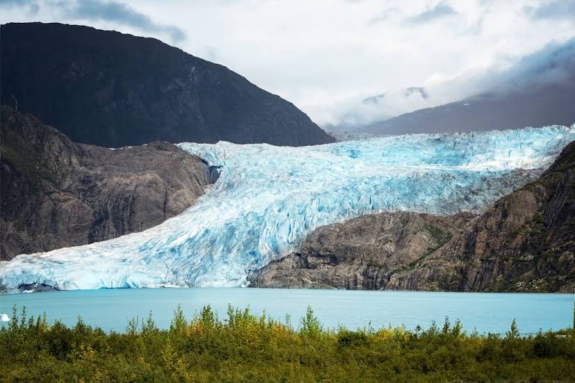
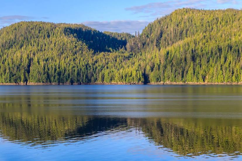
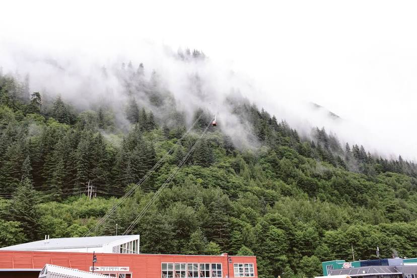
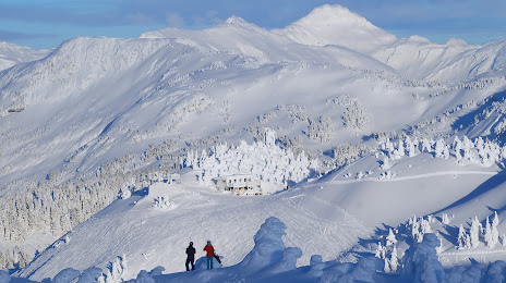
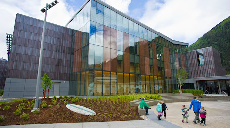
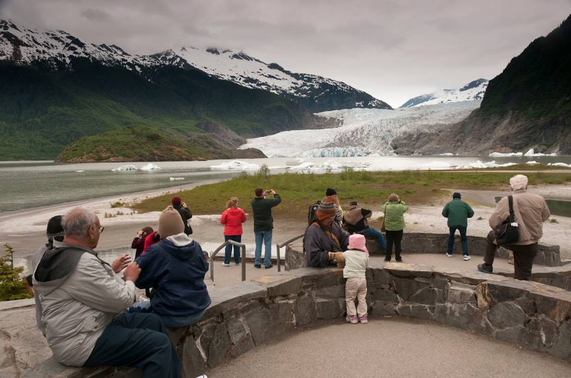
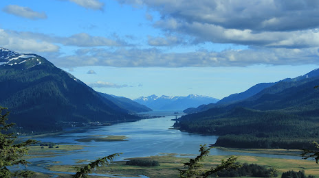
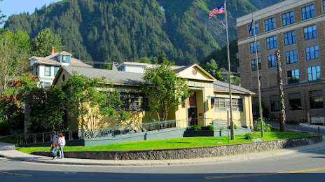
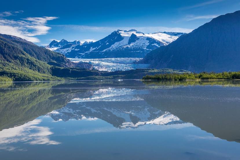
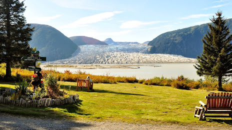
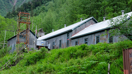
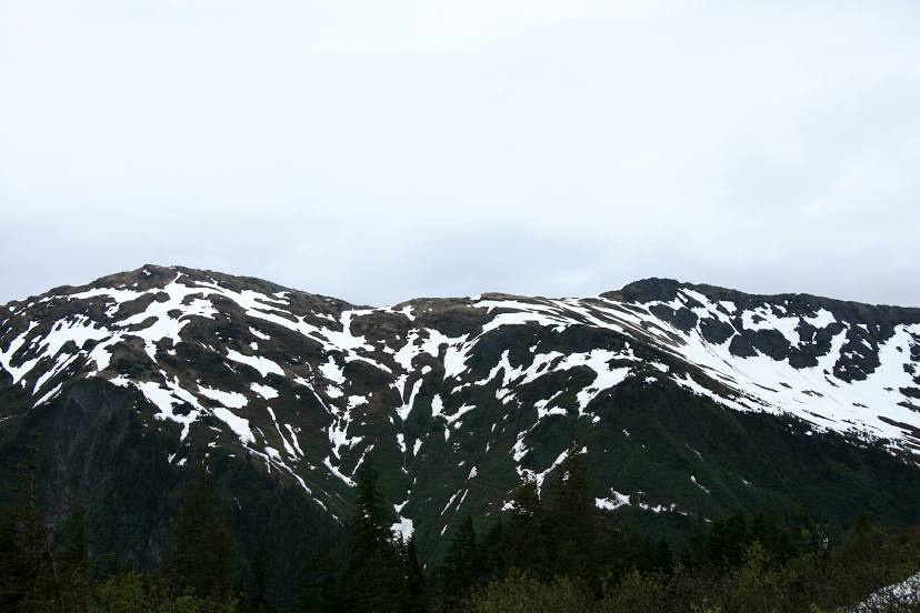
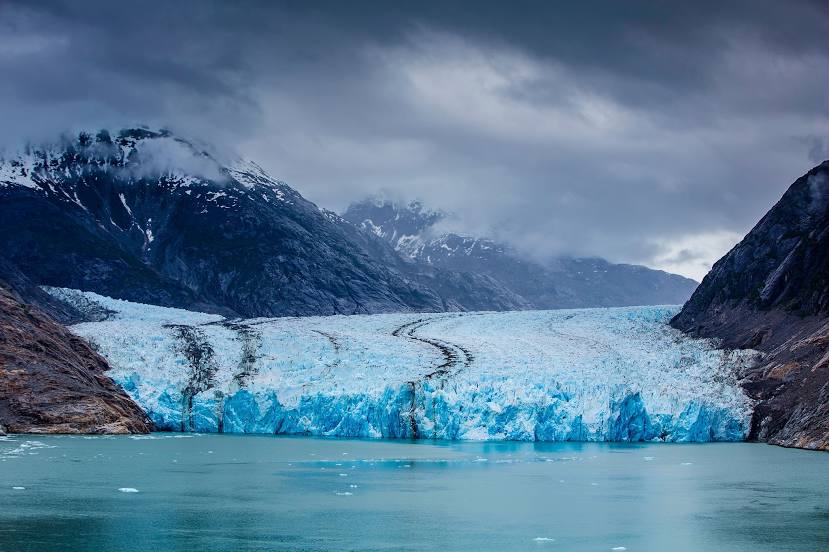
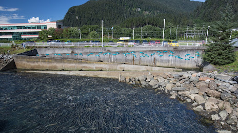
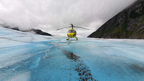
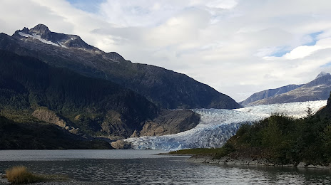
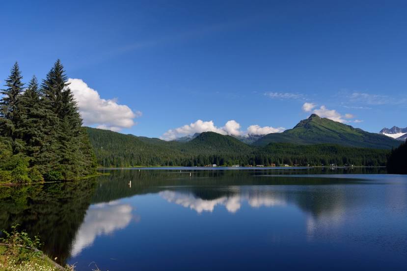
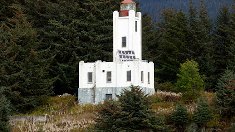
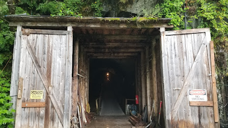
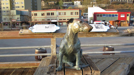
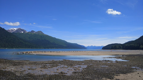
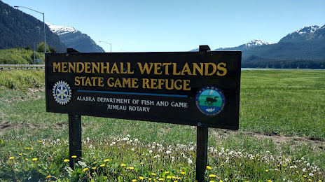
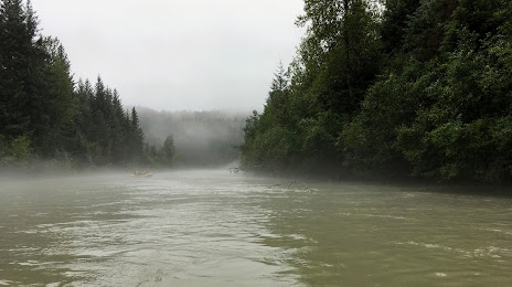
Attractions


Distance to the capital
Distance to the capital (Washington) is about — 4560 km.