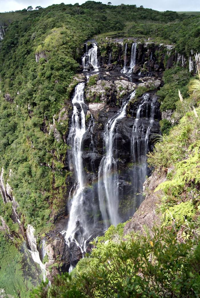
Salto — Cubatão
Salto — Pocrane
Salto — Aeroporto De Para De Minas
Salto — Uruguaiana
Salto — Teixeira
Salto — Perdigão
Salto — Estacao Balnear
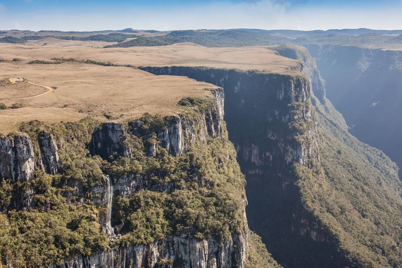
Salto — Serra Talhada
Salto — Penha Longa
Salto — Tamboara
Salto — Otacílio Costa
Salto — Iguatemi
Salto — Morretes
Salto — Caetité
Salto — Km 120
Salto — Pontal do Paraná
Salto — Maceió
Salto — Águas Claras
Salto — Águas da Prata
Itu
Sorocaba
Votorantim
Piedade
Registro
Cajati
Campina Grande do Sul
Quatro Barras
Piraquara
São José dos Pinhais
Marcelino
Garuva
Joinville
São João do Itaperiú
Barra Velha
Piçarras
Itajaí
Itajaí
Camboriú
Camboriú
Itapema
Itapema
Meia Praia
Tijucas
Governador Celso Ramos
Biguaçu
São José
Palhoça
Guarda do Embaú
Paulo Lopes
Ibiraquera
Imbituba
Laguna
Tubarão
Tubarão
Jaguaruna
Morro da Fumaça
Içara
Maracajá
Araranguá
Turvo
Salto — Cubatão
Salto — Pocrane
Salto — Aeroporto De Para De Minas
Salto — Uruguaiana
Salto — Teixeira
Salto — Perdigão
Salto — Estacao Balnear
Salto — Serra Talhada
Salto — Penha Longa
Salto — Tamboara
Salto — Otacílio Costa
Salto — Iguatemi
Salto — Morretes
Salto — Caetité
Salto — Km 120
Salto — Pontal do Paraná
Salto — Maceió
Salto — Águas Claras
Salto — Águas da Prata
Itu
Sorocaba
Votorantim
Piedade
Registro
Cajati
Campina Grande do Sul
Quatro Barras
Piraquara
São José dos Pinhais
Marcelino
Garuva
Joinville
São João do Itaperiú
Barra Velha
Piçarras
Itajaí
Itajaí
Camboriú
Camboriú
Itapema
Itapema
Meia Praia
Tijucas
Governador Celso Ramos
Biguaçu
São José
Palhoça
Guarda do Embaú
Paulo Lopes
Ibiraquera
Imbituba
Laguna
Tubarão
Tubarão
Jaguaruna
Morro da Fumaça
Içara
Maracajá
Araranguá
Turvo
Salto — Jacinto Machado distance, route on the map
Distance by car
Distance between Salto, São Paulo, Brazil and Jacinto Machado, Santa Catarina, Brazil by car is — km, or miles. To travel this distance by car, you need minute, or h.
Route on the map, driving directions
Car route Salto — Jacinto Machado was created automatically. The road on the map is shown as a blue line. By moving the markers, you can create a new route through the points you need.
Passing cities through which the car route passes: Itu, Itu, Sorocaba, Votorantim, Piedade, Registro, Cajati, Campina Grande do Sul, Quatro Barras, Piraquara, São José dos Pinhais, Marcelino, Garuva, Joinville, São João do Itaperiú, Barra Velha, Piçarras, Itajaí, Itajaí, Camboriú, Camboriú, Itapema, Itapema, Meia Praia, Tijucas, Governador Celso Ramos, Biguaçu, São José, Palhoça, Guarda do Embaú, Paulo Lopes, Ibiraquera, Imbituba, Laguna, Tubarão, Tubarão, Jaguaruna, Morro da Fumaça, Içara, Maracajá, Araranguá, Turvo.
Distance by plane
If you decide to take a trip Salto Jacinto Machado by plane, then you have to fly the distance — 691 km or 428 miles. It is marked on the map with a gray line (between two points in a straight line).
Flight time
Estimated flight time Salto Jacinto Machado by plane at cruising speed 750 km / h will be — 55 min.
Direction of movement
Brazil, Salto — right-hand traffic. Brazil, Jacinto Machado — right-hand traffic.
Difference in time
Salto and Jacinto Machado are in the same time zone. Between them there is no time difference (UTC -3 America/Sao_Paulo).
Interesting Facts
Information on alternative ways to get to your destination.
The length of this distance is about 1.7% of the total length of the equator.
The percentage of the population is clearly shown in the graph:
Salto — 98,389, Jacinto Machado — 11,039 residents (less by 87,350).
The cost of travel
Calculate the cost of the trip yourself using the fuel consumption calculator, changing the data in the table.