
 Mossel Bay
Richards Bay
Montana
Goodwood
Wellington
Sherwood
Melrose
Horton
Saldanha
Lyndhurst
Hout Bay
Morningside
Emalahleni
East London
Newcastle
Polokwane
Still Bay
Germiston
Kloof
Mossel Bay
Richards Bay
Montana
Goodwood
Wellington
Sherwood
Melrose
Horton
Saldanha
Lyndhurst
Hout Bay
Morningside
Emalahleni
East London
Newcastle
Polokwane
Still Bay
Germiston
Kloof
Benoni on the map, South Africa
Where is located Benoni
Exact location — Benoni, East Rand, Gauteng, South Africa, marked on the map with a red marker.
Coordinates
Benoni, South Africa coordinates in decimal format: latitude — -26.188333, longitude — 28.320556. When converted to degrees, minutes, seconds Benoni has the following coordinates: -26°11′18 north latitude and 28°19′14 east longitude.
Population
Benoni, East Rand, Gauteng, South Africa, according to our data the population is — 605,363 residents, which is about 1% of the total population of the country (South Africa).
Comparison of the population on the graph:
Exact time
Time zone for this location Benoni — UTC +2 Africa/Johannesburg. Exact time — tuesday, 4 april 2024 year, 09 h. 47 minutes.
Sunrise and sunset
Benoni, sunrise and sunset data for a date — tuesday 23.04.2024.
| Sunrise | Sunset | Day (duration) |
|---|---|---|
| 06:29 +1 minute | 17:40 -1 minute | 11 h. 12 minutes. -2 minutes |
You can control the scale of the map using the auxiliary tools to find out exactly where it is located Benoni. When you change the scale of the map, the width of the ruler also changes (in kilometers and miles).
Nearby cities
The largest cities that are located nearby:
- Boksburg — 9 km
- Springs — 14 km
- Tembisa — 23 km
- Nigel — 26 km
- Johannesburg — 27 km
- Midrand — 28 km
- Diepsloot — 41 km
- Roodepoort — 42 km
- Centurion — 43 km
- Soweto — 47 km
- Krugersdorp — 56 km
- Randfontein — 61 km
- Vereeniging — 66 km
- Westonaria — 68 km
- Vanderbijlpark — 74 km
- Brits — 83 km
- Embalenhle — 85 km
- Carletonville — 93 km
- Bethal — 117 km
Distance to neighboring capitals:
- Mbabane
 (Swaziland) — 281 km
 - Gaborone
 (Botswana) — 296 km
 - Maseru
 (Lesotho) — 357 km
 - 2631 Maputo
 (Mozambique) — 426 km
 - Windhoek
 (Namibia) — 1207 km
 - Lilongwe
 (Malawi) — 1472 km
 - Dar es Salaam
 (Tanzania) — 2450 km
 - Luanda
 (Angola) — 2502 km
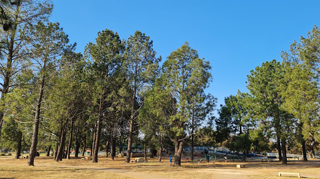
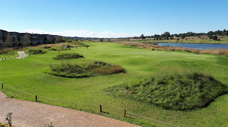
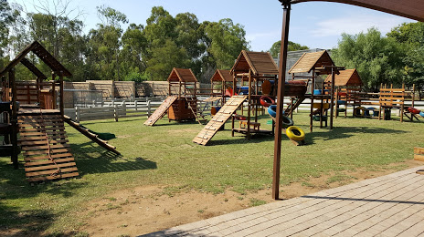
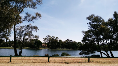
Attractions


Distance to the capital
Distance to the capital (Pretoria) is about — 51 km.