 Nuevo Vallarta
Telcruz
Cuautitlan
Lagunillas de Muñoz
Jalisco
Delight
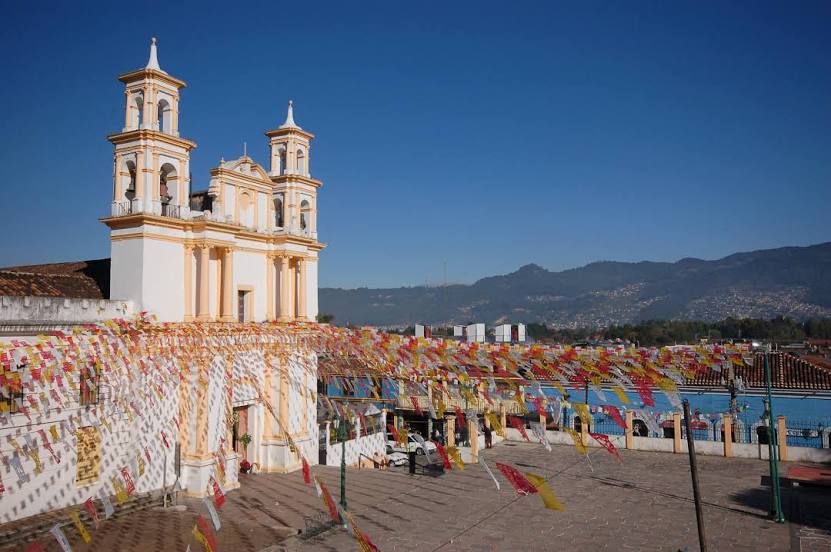
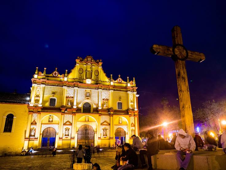
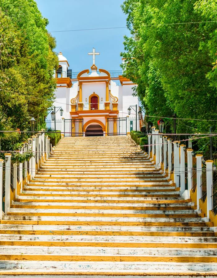
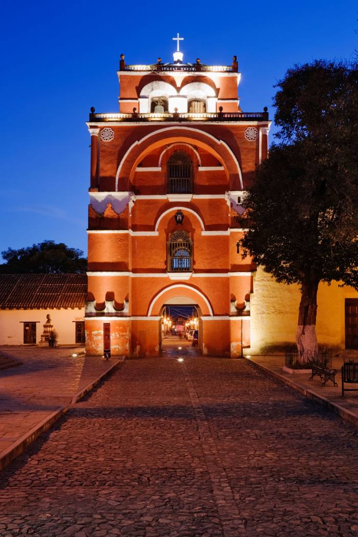
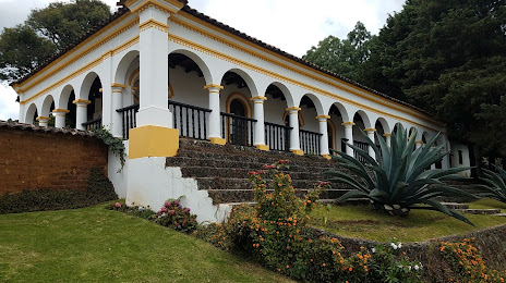
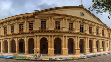
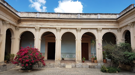
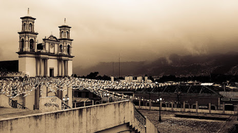
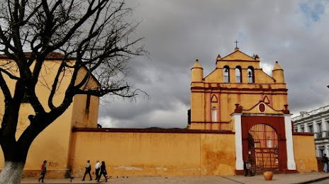
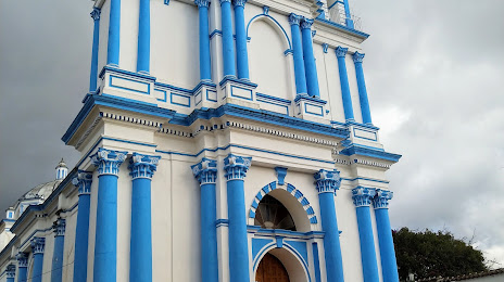
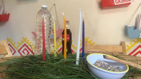
Chiapas
The delights
Uxmal
Lic. Jesús Terán Peredo International Airport
Hermanos Serdán International Airport
Plan de Guadalupe International Airport
Miguel Hidalgo y Costilla International Airport
General Roberto Fierro Villalobos International Airport
Cancun International Airport
Veracruz International Airport
Manuel Crescencio Rejón International Airport
Querétaro International Airport
Mexico City International Airport
Nuevo Vallarta
Telcruz
Cuautitlan
Lagunillas de Muñoz
Jalisco
Delight
Chiapas
The delights
Uxmal
Lic. Jesús Terán Peredo International Airport
Hermanos Serdán International Airport
Plan de Guadalupe International Airport
Miguel Hidalgo y Costilla International Airport
General Roberto Fierro Villalobos International Airport
Cancun International Airport
Veracruz International Airport
Manuel Crescencio Rejón International Airport
Querétaro International Airport
Mexico City International Airport
San Cristóbal de las Casas on the map, Mexico
Where is located San Cristóbal de las Casas
Exact location — San Cristóbal de las Casas, San Cristóbal de las Casas, Chiapas, Mexico, marked on the map with a red marker.
Coordinates
San Cristóbal de las Casas, Mexico coordinates in decimal format: latitude — 16.7370359, longitude — -92.6376186. When converted to degrees, minutes, seconds San Cristóbal de las Casas has the following coordinates: 16°44′13.33 north latitude and -92°38′15.43 east longitude.
Population
San Cristóbal de las Casas, San Cristóbal de las Casas, Chiapas, Mexico, according to our data the population is — 128,996 residents, which is about 0.1% of the total population of the country (Mexico).
Comparison of the population on the graph:
Exact time
Time zone for this location San Cristóbal de las Casas — UTC -6 America/Mexico_City. Exact time — friday, 4 april 2024 year, 23 h. 25 minutes.
Sunrise and sunset
San Cristóbal de las Casas, sunrise and sunset data for a date — friday 19.04.2024.
| Sunrise | Sunset | Day (duration) |
|---|---|---|
| 05:54 -0 minutes | 18:24 -0 minutes | 12 h. 30 minutes. -0 minutes |
You can control the scale of the map using the auxiliary tools to find out exactly where it is located San Cristóbal de las Casas. When you change the scale of the map, the width of the ruler also changes (in kilometers and miles).
Nearby cities
The largest cities that are located nearby:
- Tuxtla Gutiérrez — 49 km
- Villahermosa — 142 km
- Tapachula — 206 km
- Ciudad del Carmen — 229 km
- Quetzaltenango
 (Guatemala) — 242 km
 - Minatitlán — 244 km
- Coatzacoalcos — 246 km
- San Juan Sacatepéquez (Guatemala) — 309 km
- Guatemala City (Guatemala) — 325 km
- Villa Nueva (Guatemala) — 328 km
- Escuintla (Guatemala) — 334 km
- Villa Canales (Guatemala) — 338 km
- Campeche — 406 km
- Oaxaca — 433 km
- Santa Ana
 (El Salvador) — 449 km
 - Apopa (El Salvador) — 493 km
- Santa Tecla (El Salvador) — 494 km
- Chetumal — 495 km
- Mejicanos (El Salvador) — 495 km
Distance to neighboring capitals:
- Guatemala City (Guatemala) — 326 km
- Belmopan
 (Belize) — 416 km
 - Tegucigalpa
 (Honduras) — 652 km
 - Saint John
 (Puerto Rico) — 2817 km
 - Washington
 (United States) — 2895 km
 - Ottawa
 (Canada) — 3558 km
 - Belgrade
 (Serbia) — 10416 km
 - Podgorica
 (Montenegro) — 10452 km
 - Hagåtña
 (Guam) — 12877 km
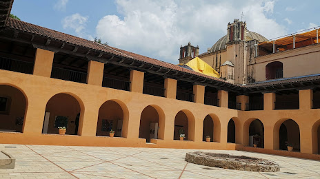
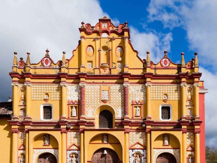
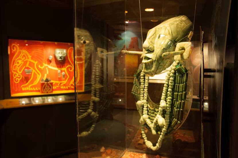
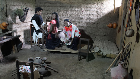
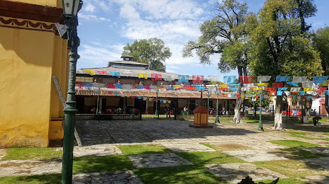
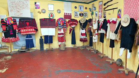
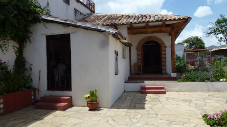
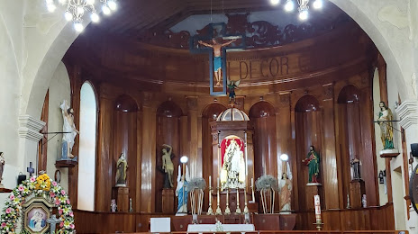
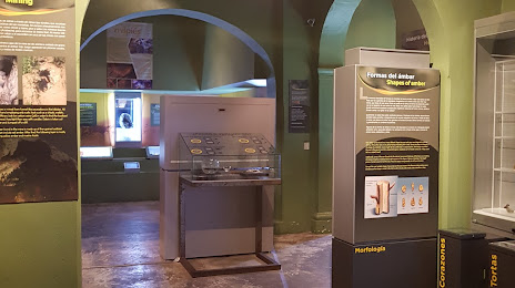
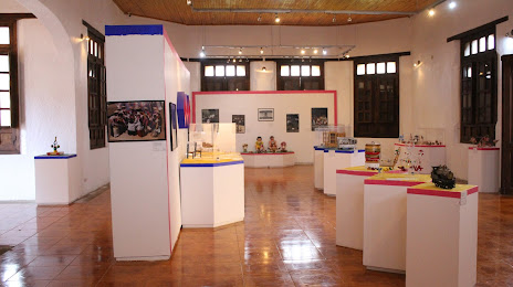
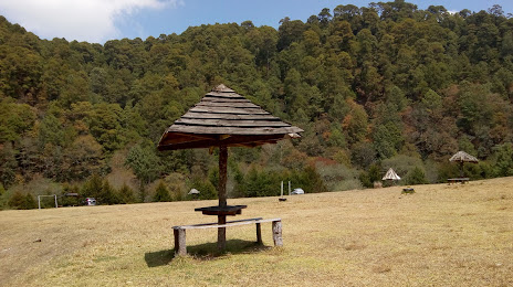
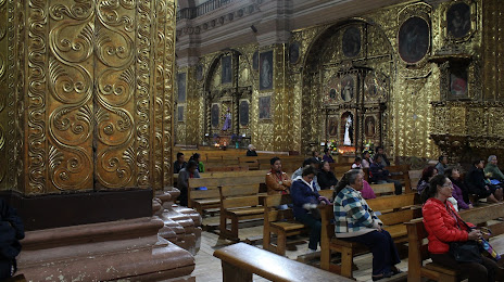
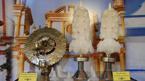
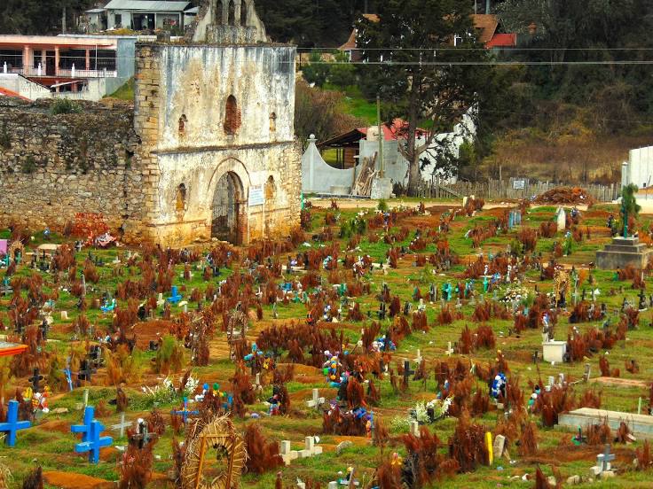
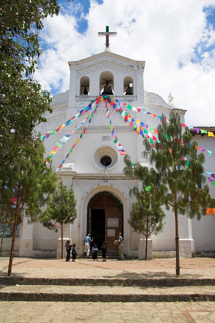
Attractions


Distance to the capital
Distance to the capital (Mexico City) is about — 749 km.