 Jocotán
The hope
Izabal
Retalhuleu
Santa Cruz La Laguna
Tekpan
Santa Cruz la Laguna
Monterrico
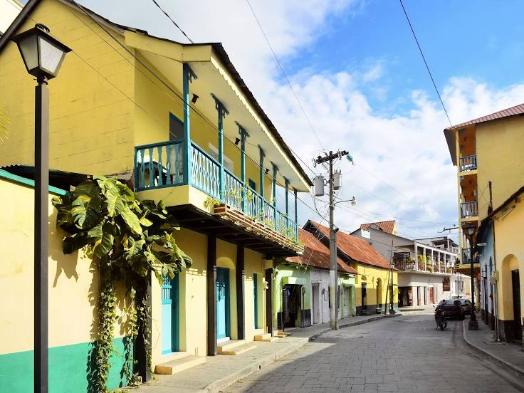
Flores
Guatemala
Guatemala
Guatemala
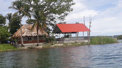
Livingston
San Sebastián
Uspantan
Colomba
Chinique
Cuyotenango
Monjas
Jocotán
The hope
Izabal
Retalhuleu
Santa Cruz La Laguna
Tekpan
Santa Cruz la Laguna
Monterrico
Flores
Guatemala
Guatemala
Guatemala
Livingston
San Sebastián
Uspantan
Colomba
Chinique
Cuyotenango
Monjas
Saint Benedict on the map, Guatemala
Where is located Saint Benedict
Exact location — San Benito, Petén, Guatemala, marked on the map with a red marker.
Coordinates
Saint Benedict, Guatemala coordinates in decimal format: latitude — 16.9181379, longitude — -89.9206512. When converted to degrees, minutes, seconds Saint Benedict has the following coordinates: 16°55′5.3 north latitude and -89°55′14.34 east longitude.
Population
San Benito, Petén, Guatemala, according to our data the population is — 30,764 residents, which is about 0.2% of the total population of the country (Guatemala).
Comparison of the population on the graph:
Exact time
Time zone for this location Saint Benedict — UTC -6 America/Guatemala. Exact time — saturday, 4 april 2024 year, 06 h. 22 minutes.
Sunrise and sunset
Saint Benedict, sunrise and sunset data for a date — saturday 20.04.2024.
| Sunrise | Sunset | Day (duration) |
|---|---|---|
| 05:42 -1 minute | 18:14 -0 minutes | 12 h. 30 minutes. +1 minute |
You can control the scale of the map using the auxiliary tools to find out exactly where it is located Saint Benedict. When you change the scale of the map, the width of the ruler also changes (in kilometers and miles).
Nearby cities
The largest cities that are located nearby:
- Chetumal
 (Mexico) — 244 km
 - San Pedro Sula
 (Honduras) — 255 km
 - San Juan Sacatepéquez — 255 km
- Choloma (Honduras) — 256 km
- Villa Nueva — 274 km
- Ciudad del Carmen (Mexico) — 275 km
- Villa Canales — 277 km
- El Progreso (Honduras) — 282 km
- Quetzaltenango — 287 km
- San Cristóbal de las Casas (Mexico) — 288 km
- Escuintla — 304 km
- Santa Ana
 (El Salvador) — 327 km
 - Campeche (Mexico) — 328 km
- Tapachula (Mexico) — 335 km
- Tuxtla Gutiérrez (Mexico) — 337 km
- Villahermosa (Mexico) — 340 km
- La Ceiba (Honduras) — 352 km
- Apopa (El Salvador) — 353 km
- Mejicanos (El Salvador) — 360 km
Distance to neighboring capitals:
- Belmopan
 (Belize) — 128 km
 - San Salvador (El Salvador) — 367 km
- Tegucigalpa (Honduras) — 428 km
- Managua
 (Nicaragua) — 662 km
 - Mexico City (Mexico) — 1013 km
- Washington
 (United States) — 2747 km
Attractions

Distance to the capital
Distance to the capital (Guatemala City) is about — 265 km.