 Banderas Bay
Paras
Fishery
The Ramones
Cuatro Caminos
Chignahuapan
Quecholac
Cholula
San Miguel Xoxtla
Minatitlan
Comala
Monclova
San Camilo
Ciudad Acuna
Abasolo
Guerrero Cuilápam
Holbox
Bacalar
Sinaloa
Banderas Bay
Paras
Fishery
The Ramones
Cuatro Caminos
Chignahuapan
Quecholac
Cholula
San Miguel Xoxtla
Minatitlan
Comala
Monclova
San Camilo
Ciudad Acuna
Abasolo
Guerrero Cuilápam
Holbox
Bacalar
Sinaloa
Zapotlanejo on the map, Mexico
Where is located Zapotlanejo
Exact location — Zapotlanejo Zapotlanejo, Jalisco, Mexico, marked on the map with a red marker.
Coordinates
Zapotlanejo, Mexico coordinates in decimal format: latitude — 20.6201831, longitude — -103.0673833. When converted to degrees, minutes, seconds Zapotlanejo has the following coordinates: 20°37′12.66 north latitude and -103°4′2.58 east longitude.
Population
Zapotlanejo Zapotlanejo, Jalisco, Mexico, according to our data the population is — 29,055 residents, which is about 0% of the total population of the country (Mexico).
Comparison of the population on the graph:
Exact time
Time zone for this location Zapotlanejo — UTC -6 America/Mexico_City. Exact time — thursday, 4 april 2024 year, 12 h. 25 minutes.
Sunrise and sunset
Zapotlanejo, sunrise and sunset data for a date — thursday 18.04.2024.
| Sunrise | Sunset | Day (duration) |
|---|---|---|
| 06:33 -0 minutes | 19:09 -0 minutes | 12 h. 36 minutes. -0 minutes |
You can control the scale of the map using the auxiliary tools to find out exactly where it is located Zapotlanejo. When you change the scale of the map, the width of the ruler also changes (in kilometers and miles).
Nearby cities
The largest cities that are located nearby:
- Tonalá — 18 km
- Tlaquepaque — 25 km
- Guadalajara — 30 km
- Zapopan — 37 km
- Zamora — 107 km
- León — 153 km
- Aguascalientes — 161 km
- Colima — 167 km
- Uruapan — 171 km
- Irapuato — 177 km
- Salamanca — 193 km
- Tepic — 212 km
- Manzanillo — 213 km
- Morelia — 220 km
- Puerto Vallarta — 223 km
- Celaya — 234 km
- Zacatecas — 243 km
- San Luis Potosi — 273 km
- Santiago de Querétaro — 277 km
Distance to neighboring capitals:
- Guatemala City
 (Guatemala) — 1486 km
 - Belmopan
 (Belize) — 1550 km
 - Tegucigalpa
 (Honduras) — 1832 km
 - Washington
 (United States) — 3212 km
 - Ottawa
 (Canada) — 3722 km
 - Saint John
 (Puerto Rico) — 3874 km
 - Belgrade
 (Serbia) — 10769 km
 - Podgorica
 (Montenegro) — 10852 km
 - Hagåtña
 (Guam) — 11697 km
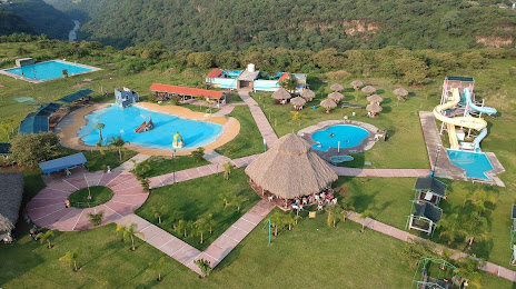
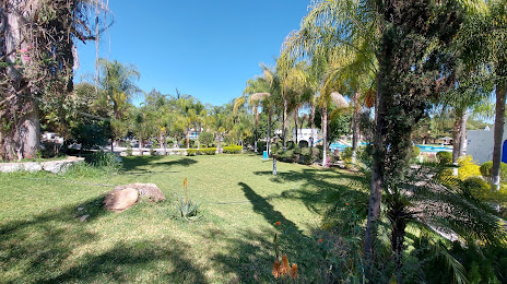
Attractions

Distance to the capital
Distance to the capital (Mexico City) is about — 432 km.