 Lamb
Harford County
Fairfax
Fairfax
Duquesne
Richmond
Tusayan
Malta
Luna County
Helena
Seattle
Brentwood
Hayward
Connecticut
Washington
Essex County
Hollywood
Malino
Portland
Lamb
Harford County
Fairfax
Fairfax
Duquesne
Richmond
Tusayan
Malta
Luna County
Helena
Seattle
Brentwood
Hayward
Connecticut
Washington
Essex County
Hollywood
Malino
Portland
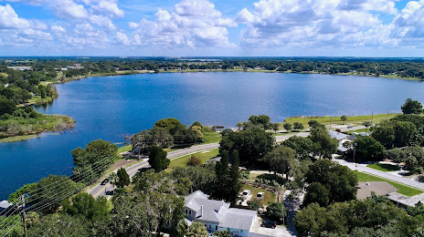
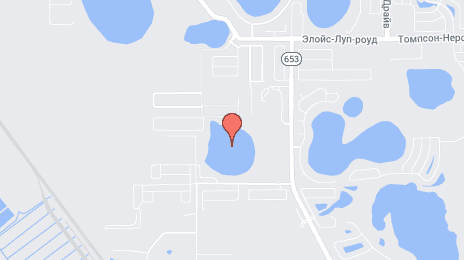
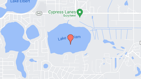
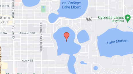
Winter Haven on the map, United States
Where is located Winter Haven
Exact location — Winter Haven, Polk County, Florida, United States, marked on the map with a red marker.
Coordinates
Winter Haven, United States coordinates in decimal format: latitude — 28.0222435, longitude — -81.7328567. When converted to degrees, minutes, seconds Winter Haven has the following coordinates: 28°1′20.08 north latitude and -81°43′58.28 east longitude.
Population
Winter Haven, Polk County, Florida, United States, according to our data the population is — 33,874 residents, which is about 0% of the total population of the country (United States).
Comparison of the population on the graph:
Exact time
Time zone for this location Winter Haven — UTC -4 America/New_York. Exact time — friday, 4 april 2024 year, 13 h. 13 minutes.
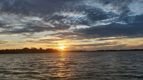
Sunrise and sunset
Winter Haven, sunrise and sunset data for a date — friday 19.04.2024.
| Sunrise | Sunset | Day (duration) |
|---|---|---|
| 06:59 -1 minute | 19:52 +1 minute | 12 h. 54 minutes. +2 minutes |
You can control the scale of the map using the auxiliary tools to find out exactly where it is located Winter Haven. When you change the scale of the map, the width of the ruler also changes (in kilometers and miles).
Nearby cities
The largest cities that are located nearby:
- Brandon — 55 km
- Orlando — 67 km
- Tampa — 71 km
- Saint Petersburg — 93 km
- Clearwater — 104 km
- Port Saint Lucie — 158 km
- Cape Coral — 163 km
- Gainesville — 189 km
- Coral Springs — 242 km
- Jacksonville — 255 km
- Fort Lauderdale — 263 km
- Pembroke Pines — 265 km
- Miramar — 266 km
- Hollywood — 272 km
- Hialeah — 280 km
- Miami — 293 km
- Tallahassee — 361 km
- Savannah — 453 km
- Havana
 (Cuba) — 540 km
Distance to neighboring capitals:
- Belmopan
 (Belize) — 1398 km
 - Guatemala City
 (Guatemala) — 1747 km
 - Ottawa
 (Canada) — 2007 km
 - Mexico City
 (Mexico) — 2010 km
 - Nuuk
 (Greenland) — 4548 km
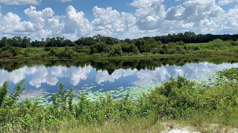
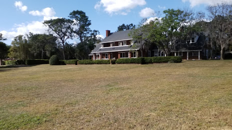
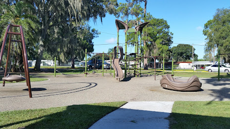
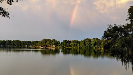
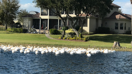
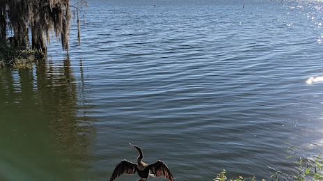
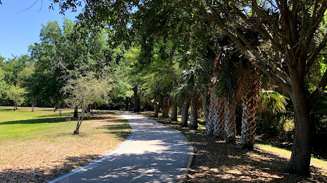
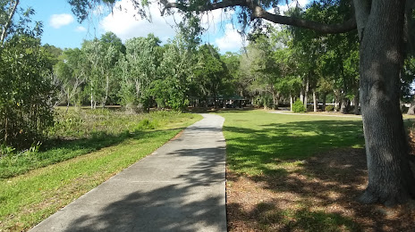
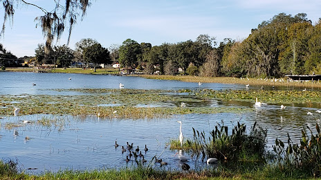
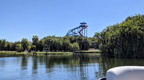
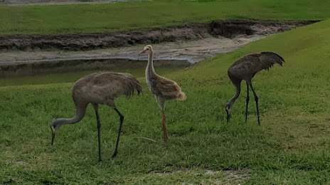
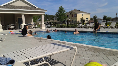
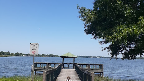
Attractions


Distance to the capital
Distance to the capital (Washington) is about — 1286 km.