 Cokeville
Borup
Nebraska
Middlesex
Nebraska
Colleyville
Hawaii
Sorum
McCarthy
Spring Valley
Buchanan
Tcconnet
Arnsberg
San Benito
Madison
Saint Croix County
Luna County
Malta
Tusayan
Cokeville
Borup
Nebraska
Middlesex
Nebraska
Colleyville
Hawaii
Sorum
McCarthy
Spring Valley
Buchanan
Tcconnet
Arnsberg
San Benito
Madison
Saint Croix County
Luna County
Malta
Tusayan
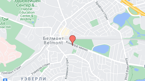
Belmont on the map, United States
Where is located Belmont
Exact location — Belmont, Middlesex County, Massachusetts, United States, marked on the map with a red marker.
Coordinates
Belmont, United States coordinates in decimal format: latitude — 42.3956405, longitude — -71.1776114. When converted to degrees, minutes, seconds Belmont has the following coordinates: 42°23′44.31 north latitude and -71°10′39.4 east longitude.
Population
Belmont, Middlesex County, Massachusetts, United States, according to our data the population is — 24,729 residents, which is about 0% of the total population of the country (United States).
Comparison of the population on the graph:
Exact time
Time zone for this location Belmont — UTC -4 America/New_York. Exact time — thursday, 4 april 2024 year, 23 h. 18 minutes.
Sunrise and sunset
Belmont, sunrise and sunset data for a date — thursday 18.04.2024.
| Sunrise | Sunset | Day (duration) |
|---|---|---|
| 06:00 -2 minutes | 19:26 +1 minute | 13 h. 24 minutes. +3 minutes |
You can control the scale of the map using the auxiliary tools to find out exactly where it is located Belmont. When you change the scale of the map, the width of the ruler also changes (in kilometers and miles).
Nearby cities
The largest cities that are located nearby:
- Cambridge — 6 km
- Boston — 10 km
- Lowell — 29 km
- Worcester — 53 km
- Providence — 66 km
- Manchester — 70 km
- Amherst — 108 km
- Springfield — 120 km
- Hartford — 143 km
- Waterbury — 181 km
- New Haven — 189 km
- Bridgeport — 215 km
- Stamford — 247 km
- Yonkers — 279 km
- Paterson — 299 km
- New York — 301 km
- Brooklyn — 302 km
- Newark — 311 km
- Elizabeth — 318 km
Distance to neighboring capitals:
- Ottawa
 (Canada) — 494 km
 - Nuuk
 (Greenland) — 2720 km
 - Belmopan
 (Belize) — 3256 km
 - Guatemala City
 (Guatemala) — 3604 km
 - Mexico City
 (Mexico) — 3661 km
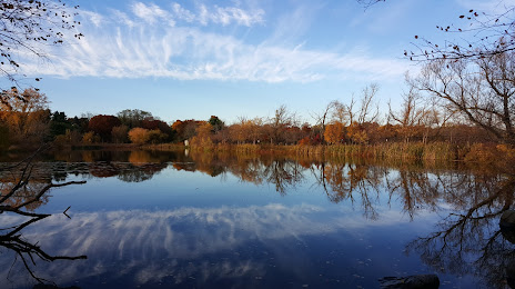
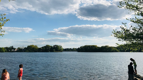
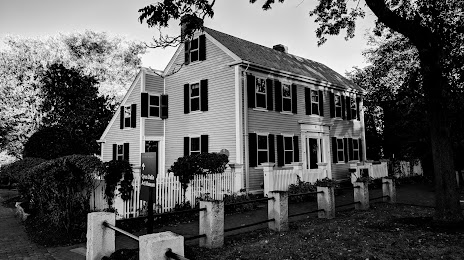
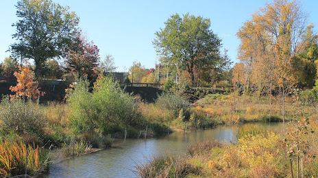
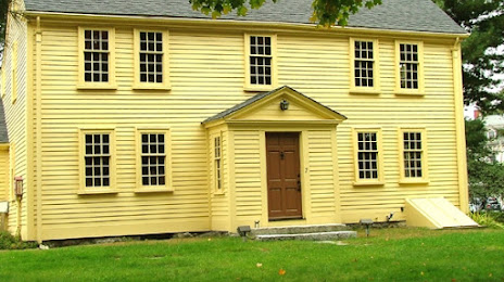
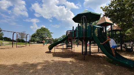
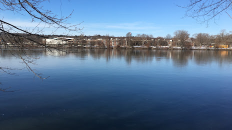
Attractions


Distance to the capital
Distance to the capital (Washington) is about — 628 km.