 Davis Station
White Sands
Tivoli
New Jersey
Elizabeth
Emmaus
Richmond
Douglas
Darling
Aztec
Oslo
Andrews
Ligonier
Newark
Shelbyville
Oregon
Kulm
Columbus
Lancaster
Davis Station
White Sands
Tivoli
New Jersey
Elizabeth
Emmaus
Richmond
Douglas
Darling
Aztec
Oslo
Andrews
Ligonier
Newark
Shelbyville
Oregon
Kulm
Columbus
Lancaster
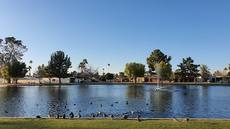
Glendale on the map, United States
Where is located Glendale
Exact location — Glendale, Maricopa County, Arizona, United States, marked on the map with a red marker.
Coordinates
Glendale, United States coordinates in decimal format: latitude — 33.5386523, longitude — -112.1859866. When converted to degrees, minutes, seconds Glendale has the following coordinates: 33°32′19.15 north latitude and -112°11′9.55 east longitude.
Population
Glendale, Maricopa County, Arizona, United States, according to our data the population is — 226,721 residents, which is about 0.1% of the total population of the country (United States).
Comparison of the population on the graph:
Exact time
Time zone for this location Glendale — UTC -7 America/Phoenix. Exact time — wednesday, 4 april 2024 year, 12 h. 41 minute.
Sunrise and sunset
Glendale, sunrise and sunset data for a date — wednesday 24.04.2024.
| Sunrise | Sunset | Day (duration) |
|---|---|---|
| 05:49 -1 minute | 19:03 -0 minutes | 13 h. 12 minutes. +1 minute |
You can control the scale of the map using the auxiliary tools to find out exactly where it is located Glendale. When you change the scale of the map, the width of the ruler also changes (in kilometers and miles).
Nearby cities
The largest cities that are located nearby:
- Peoria — 7 km
- Phoenix — 14 km
- Scottsdale — 24 km
- Tempe — 26 km
- Mesa — 35 km
- Chandler — 41 km
- Gilbert — 42 km
- Tucson — 187 km
- San Luis Río Colorado
 (Mexico) — 270 km
 - Nogales — 270 km
- Mexicali (Mexico) — 321 km
- Henderson — 373 km
- Las Vegas — 393 km
- North Las Vegas — 394 km
- Spring Valley — 394 km
- Ensenada (Mexico) — 455 km
- Escondido — 456 km
- Moreno Valley — 465 km
- Tijuana (Mexico) — 466 km
Distance to neighboring capitals:
- Mexico City (Mexico) — 2033 km
- Belmopan
 (Belize) — 2957 km
 - Guatemala City
 (Guatemala) — 3031 km
 - Ottawa
 (Canada) — 3364 km
 - Nuuk
 (Greenland) — 5276 km
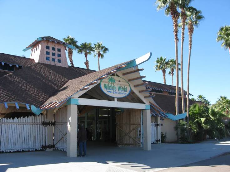
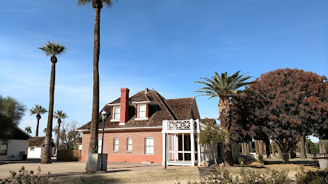
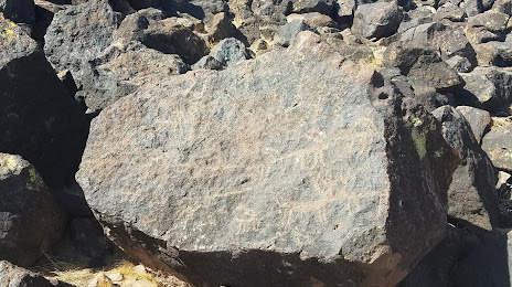
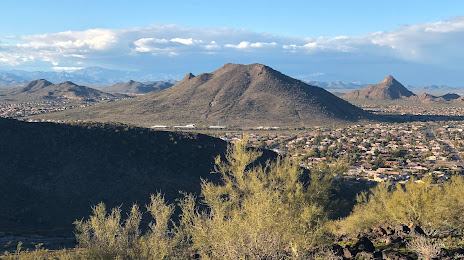
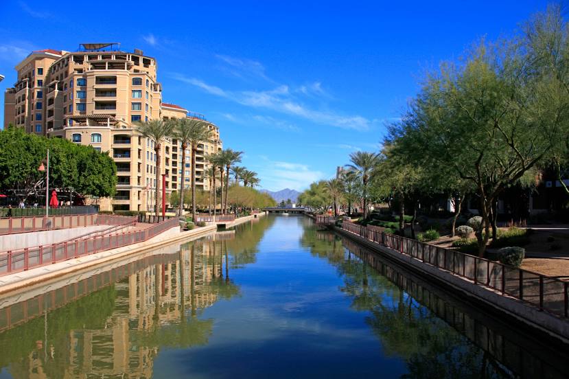
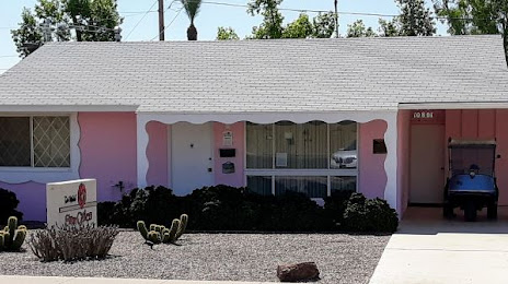
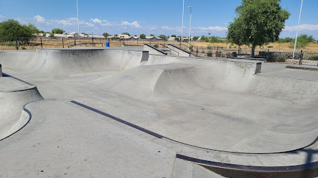
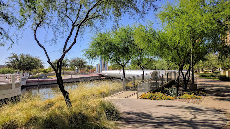
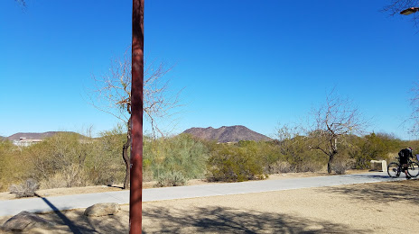
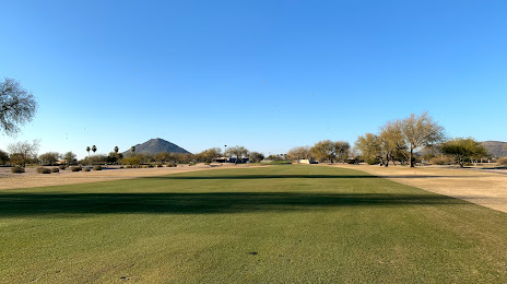
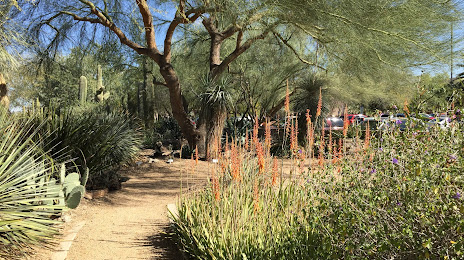
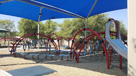
Attractions


Distance to the capital
Distance to the capital (Washington) is about — 3190 km.