
 Quime
Riberalta
Puerto Acosta
Padilla
Camiri
Yapacani
Tarata
Samaipata
Saipina
Villazón
Pallalla
Palca
Puerto Quijarro
Eucalyptus
Buen Retiro
Loma Alta
Achacachi
Atocha
Yacuíba
Quime
Riberalta
Puerto Acosta
Padilla
Camiri
Yapacani
Tarata
Samaipata
Saipina
Villazón
Pallalla
Palca
Puerto Quijarro
Eucalyptus
Buen Retiro
Loma Alta
Achacachi
Atocha
Yacuíba
Uyuni on the map, Bolivia
Where is located Uyuni
Exact location — Uyuni, Antonio Quijarro, Autonomous Department of Potosi, Bolivia, marked on the map with a red marker.
Coordinates
Uyuni, Bolivia coordinates in decimal format: latitude — -20.4603534, longitude — -66.8260649. When converted to degrees, minutes, seconds Uyuni has the following coordinates: -20°27′37.27 north latitude and -66°49′33.83 east longitude.
Population
Uyuni, Antonio Quijarro, Autonomous Department of Potosi, Bolivia, according to our data the population is — 10,293 residents, which is about 0.1% of the total population of the country (Bolivia).
Comparison of the population on the graph:
Exact time
Time zone for this location Uyuni — UTC -4 America/La_Paz. Exact time — wednesday, 4 april 2024 year, 13 h. 16 minutes.
Sunrise and sunset
Uyuni, sunrise and sunset data for a date — wednesday 24.04.2024.
| Sunrise | Sunset | Day (duration) |
|---|---|---|
| 06:44 +1 minute | 18:06 -1 minute | 11 h. 24 minutes. -2 minutes |
You can control the scale of the map using the auxiliary tools to find out exactly where it is located Uyuni. When you change the scale of the map, the width of the ruler also changes (in kilometers and miles).
Nearby cities
The largest cities that are located nearby:
- Potosi — 149 km
- Sucre — 228 km
- Tarija — 246 km
- Oruro — 277 km
- Calama
 (Chile) — 308 km
 - Iquique (Chile) — 345 km
- Cochabamba — 347 km
- Arica (Chile) — 426 km
- San Salvador de Jujuy
 (Argentina) — 440 km
 - Tacna
 (Peru) — 450 km
 - Santa Cruz de la Sierra — 494 km
- Salta (Argentina) — 499 km
- Antofagasta (Chile) — 505 km
- Fist (Peru) — 614 km
- Juliaca (Peru) — 652 km
- Arequipa (Peru) — 671 km
- San Miguel de Tucuman (Argentina) — 720 km
- Copiapó (Chile) — 838 km
- Santiago del Estero (Argentina) — 848 km
Distance to neighboring capitals:
- Asuncion
 (Paraguay) — 1083 km
 - Asuncion (Paraguay) — 1088 km
- Santiago (Chile) — 1492 km
- Buenos Aires (Argentina) — 1778 km
- Montevideo
 (Uruguay) — 1916 km
 - Quito
 (Ecuador) — 2587 km
 - Bogota
 (Colombia) — 2897 km
 - Caracas
 (Venezuela) — 3446 km
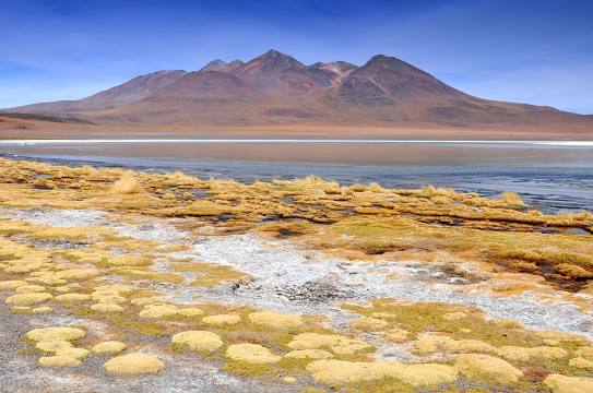
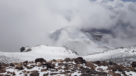
Attractions
Distance to the capital
Distance to the capital (Nuestra Señora de La Paz) is about — 462 km.