 Carlsbad
Amherst
Halma
Bellingham
Lancaster
Cheviot
Saint Florian
Antes
Antioch
Wrangell
St Thomas
Bear Valley
Soda Springs
Kenmore
Utah
California
Beverly Hills
Plate
Hillsborough County
Carlsbad
Amherst
Halma
Bellingham
Lancaster
Cheviot
Saint Florian
Antes
Antioch
Wrangell
St Thomas
Bear Valley
Soda Springs
Kenmore
Utah
California
Beverly Hills
Plate
Hillsborough County
Arden-Arcade on the map, United States
Where is located Arden-Arcade
Exact location — Arden-Arcade, Sacramento County, California, USA, marked on the map with a red marker.
Coordinates
Arden-Arcade, United States coordinates in decimal format: latitude — 38.6008071, longitude — -121.3770336. When converted to degrees, minutes, seconds Arden-Arcade has the following coordinates: 38°36′2.91 north latitude and -121°22′37.32 east longitude.
Population
Arden-Arcade, Sacramento County, California, USA, according to our data the population is — 92,186 residents, which is about 0% of the total population of the country (United States).
Comparison of the population on the graph:
Exact time
Time zone for this location Arden-Arcade — UTC -7 America/Los_Angeles. Exact time — friday, 4 april 2024 year, 10 h. 28 minutes.
Sunrise and sunset
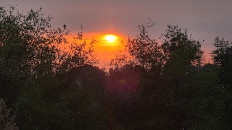
Arden-Arcade, sunrise and sunset data for a date — friday 19.04.2024.
| Sunrise | Sunset | Day (duration) |
|---|---|---|
| 06:25 -1 minute | 19:43 +1 minute | 13 h. 18 minutes. +2 minutes |
You can control the scale of the map using the auxiliary tools to find out exactly where it is located Arden-Arcade. When you change the scale of the map, the width of the ruler also changes (in kilometers and miles).
Nearby cities
The largest cities that are located nearby:
- Sacramento — 10 km
- Roseville — 18 km
- Fairfield — 69 km
- Stockton — 71 km
- Concord — 89 km
- Vallejo — 94 km
- Modesto — 111 km
- Berkeley — 112 km
- Richmond — 114 km
- Santa Rosa — 117 km
- Oakland — 118 km
- Hayward — 120 km
- Fremont — 128 km
- San Francisco — 129 km
- San Jose — 147 km
- Santa Clara — 147 km
- Sunnyvale — 148 km
- Reno — 168 km
- Salinas — 214 km
Distance to neighboring capitals:
- Mexico City
 (Mexico) — 3021 km
 - Ottawa
 (Canada) — 3798 km
 - Belmopan
 (Belize) — 3953 km
 - Guatemala City
 (Guatemala) — 4029 km
 - Nuuk
 (Greenland) — 5245 km
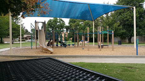
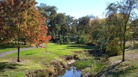
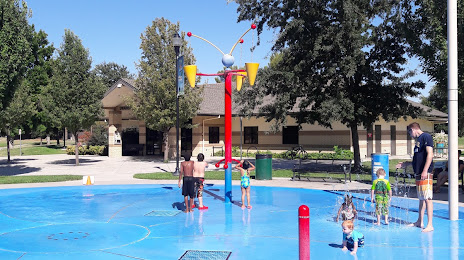
Attractions


Distance to the capital
Distance to the capital (Washington) is about — 3807 km.