
 Puerto Suárez
El Alto International Airport
El Trompillo Airport
Jorge Wilsterman Airport
Bolivia
The Dip
Carrasco
San Borja
Rurrenabaque
Puerto Suárez
El Alto International Airport
El Trompillo Airport
Jorge Wilsterman Airport
Bolivia
The Dip
Carrasco
San Borja
Rurrenabaque
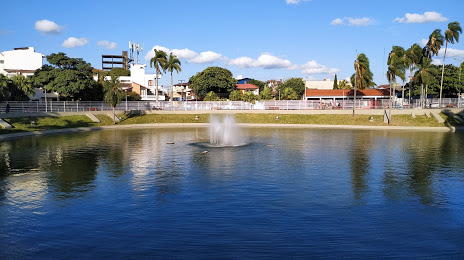
Santa Cruz de la Sierra on the map, Bolivia
Where is located Santa Cruz de la Sierra
Exact location — Santa Cruz de la Sierra, Provincia de Andrés Ibáñez, Santa Cruz, Bolivia, marked on the map with a red marker.
Coordinates
Santa Cruz de la Sierra, Bolivia coordinates in decimal format: latitude — -17.866667, longitude — -63. When converted to degrees, minutes, seconds Santa Cruz de la Sierra has the following coordinates: -17°52′0 north latitude and -63°0′0 east longitude.
Population
Santa Cruz de la Sierra, Provincia de Andrés Ibáñez, Santa Cruz, Bolivia, according to our data the population is — 1,364,389 residents, which is about 11.7% of the total population of the country (Bolivia).
Comparison of the population on the graph:
Exact time
Time zone for this location Santa Cruz de la Sierra — UTC -4 America/La_Paz. Exact time — thursday, 4 april 2024 year, 12 h. 06 minutes.
Sunrise and sunset
Santa Cruz de la Sierra, sunrise and sunset data for a date — thursday 25.04.2024.
| Sunrise | Sunset | Day (duration) |
|---|---|---|
| 06:26 -0 minutes | 17:53 -0 minutes | 11 h. 30 minutes. -0 minutes |
You can control the scale of the map using the auxiliary tools to find out exactly where it is located Santa Cruz de la Sierra. When you change the scale of the map, the width of the ruler also changes (in kilometers and miles).
Nearby cities
The largest cities that are located nearby:
- Sucre — 269 km
- Cochabamba — 338 km
- Potosi — 343 km
- Oruro — 433 km
- Tarija — 443 km
- San Salvador de Jujuy
 (Argentina) — 736 km
 - Tacna
 (Peru) — 762 km
 - Arica
 (Chile) — 770 km
 - Várzea Grande
 (Brazil) — 771 km
 - Cuiaba (Brazil) — 776 km
- Fist (Peru) — 780 km
- Iquique (Chile) — 785 km
- Calama (Chile) — 790 km
- Salta (Argentina) — 802 km
- Juliaca (Peru) — 803 km
- Rondonópolis (Brazil) — 900 km
- Campo Grande (Brazil) — 914 km
- Arequipa (Peru) — 920 km
- Dourados (Brazil) — 967 km
Distance to neighboring capitals:
- Asuncion
 (Paraguay) — 994 km
 - Asuncion (Paraguay) — 996 km
- Santiago (Chile) — 1893 km
- Buenos Aires (Argentina) — 1917 km
- Montevideo
 (Uruguay) — 2012 km
 - Quito
 (Ecuador) — 2595 km
 - Bogota
 (Colombia) — 2779 km
 - Caracas
 (Venezuela) — 3186 km
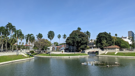
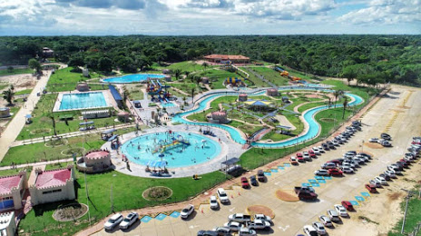
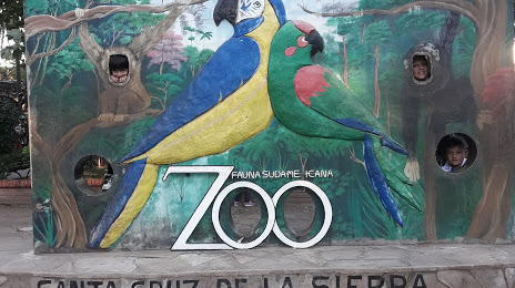
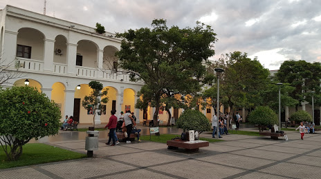
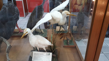
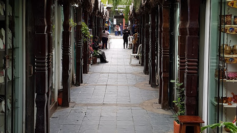
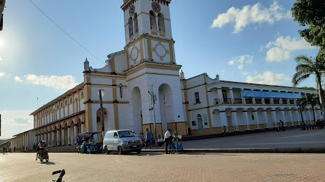
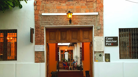
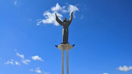
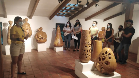
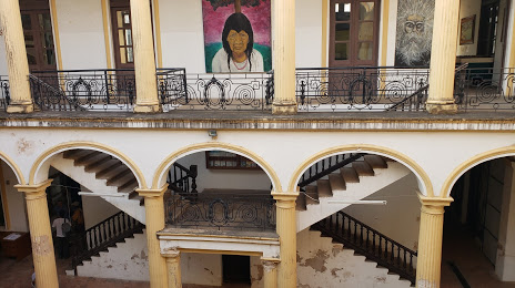
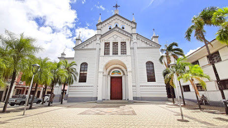
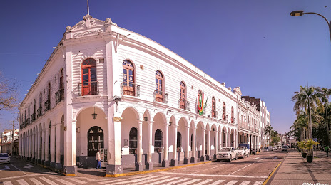
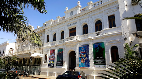
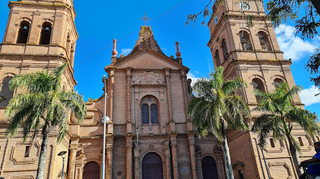
Attractions

Distance to the capital
Distance to the capital (Nuestra Señora de La Paz) is about — 568 km.