 Hardy
Brandon
Rochester
Sugar Grove
Bowling Green
Stoddard
Athens
Bettie
Prince George
Manhattan
Sorrento
Salisbury
Rockport
Greenville
Lowell
Gallinas
Saul
Russellville
Swainton
Hardy
Brandon
Rochester
Sugar Grove
Bowling Green
Stoddard
Athens
Bettie
Prince George
Manhattan
Sorrento
Salisbury
Rockport
Greenville
Lowell
Gallinas
Saul
Russellville
Swainton
Fridley on the map, United States
Where is located Fridley
Exact location — Fridley, Anoka County, Minnesota, United States, marked on the map with a red marker.
Coordinates
Fridley, United States coordinates in decimal format: latitude — 45.0860765, longitude — -93.2632821. When converted to degrees, minutes, seconds Fridley has the following coordinates: 45°5′9.88 north latitude and -93°15′47.82 east longitude.
Population
Fridley, Anoka County, Minnesota, United States, according to our data the population is — 27,208 residents, which is about 0% of the total population of the country (United States).
Comparison of the population on the graph:
Exact time
Time zone for this location Fridley — UTC -5 America/Chicago. Exact time — wednesday, 4 april 2024 year, 22 h. 48 minutes.
Sunrise and sunset
Fridley, sunrise and sunset data for a date — wednesday 24.04.2024.
| Sunrise | Sunset | Day (duration) |
|---|---|---|
| 06:15 -1 minute | 20:07 +2 minutes | 13 h. 54 minutes. +3 minutes |
You can control the scale of the map using the auxiliary tools to find out exactly where it is located Fridley. When you change the scale of the map, the width of the ruler also changes (in kilometers and miles).
Nearby cities
The largest cities that are located nearby:
- Minneapolis — 12 km
- Saint Paul — 20 km
- Sioux Falls — 326 km
- Madison — 383 km
- Des Moines — 386 km
- Green Bay — 418 km
- Rockford — 462 km
- Omaha — 481 km
- Milwaukee — 488 km
- Aurora — 549 km
- Lincoln — 551 km
- Naperville — 560 km
- Peoria — 575 km
- Joliet — 582 km
- Chicago — 584 km
- Winnipeg
 (Canada) — 599 km
 - Grand Rapids — 658 km
- North Kansas City — 667 km
- Independence — 670 km
Distance to neighboring capitals:
- Ottawa (Canada) — 1373 km
- Mexico City
 (Mexico) — 2904 km
 - Belmopan
 (Belize) — 3124 km
 - Nuuk
 (Greenland) — 3315 km
 - Guatemala City
 (Guatemala) — 3399 km
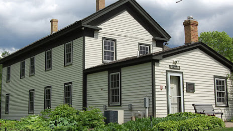
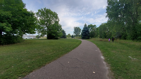
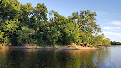
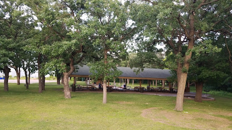
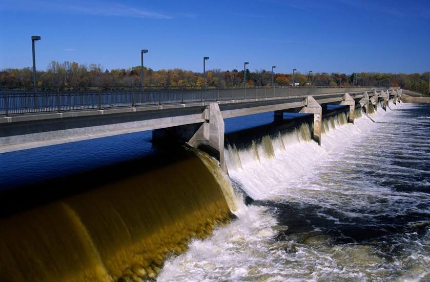
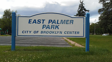
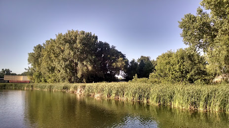
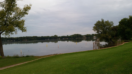
Attractions


Distance to the capital
Distance to the capital (Washington) is about — 1503 km.