 Belfast
San Juan Bautista
Putnam County
Fremont
Aurora
Avon
Emporia
Mesilla
Jackson
Upshur County
Tyler County
Trinity County
Trinity County
Starr County
Shelby County
San Patricio County
San Jacinto County
Robertson County
Randall County
Belfast
San Juan Bautista
Putnam County
Fremont
Aurora
Avon
Emporia
Mesilla
Jackson
Upshur County
Tyler County
Trinity County
Trinity County
Starr County
Shelby County
San Patricio County
San Jacinto County
Robertson County
Randall County
Pearl City on the map, United States
Where is located Pearl City
Exact location — Pearl City, Honolulu County, Hawaii, United States, marked on the map with a red marker.
Coordinates
Pearl City, United States coordinates in decimal format: latitude — 21.3972222, longitude — -157.9733333. When converted to degrees, minutes, seconds Pearl City has the following coordinates: 21°23′50 north latitude and -157°58′24 east longitude.
Population
Pearl City, Honolulu County, Hawaii, United States, according to our data the population is — 47,698 residents, which is about 0% of the total population of the country (United States).
Comparison of the population on the graph:
Exact time
Time zone for this location Pearl City — UTC -10 Pacific/Honolulu. Exact time — saturday, 4 april 2024 year, 03 h. 31 minute.
Sunrise and sunset
Pearl City, sunrise and sunset data for a date — saturday 20.04.2024.
| Sunrise | Sunset | Day (duration) |
|---|---|---|
| 06:10 -1 minute | 18:50 -0 minutes | 12 h. 42 minutes. +1 minute |
You can control the scale of the map using the auxiliary tools to find out exactly where it is located Pearl City. When you change the scale of the map, the width of the ruler also changes (in kilometers and miles).
Nearby cities
The largest cities that are located nearby:
- Honolulu — 15 km
- Santa Rosa — 3588 km
- San Francisco — 3596 km
- Richmond — 3604 km
- Oakland — 3608 km
- Berkeley — 3609 km
- Vallejo — 3615 km
- Sunnyvale — 3618 km
- Hayward — 3620 km
- Santa Clara — 3624 km
- Fremont — 3625 km
- San Jose — 3629 km
- Concord — 3629 km
- Fairfield — 3634 km
- Salinas — 3637 km
- Sacramento — 3681 km
- Stockton — 3685 km
- Roseville — 3700 km
- Modesto — 3702 km
Distance to neighboring capitals:
- Mexico City
 (Mexico) — 6101 km
 - Guatemala City
 (Guatemala) — 7123 km
 - Belmopan
 (Belize) — 7221 km
 - Ottawa
 (Canada) — 7747 km
 - Nuuk
 (Greenland) — 8629 km
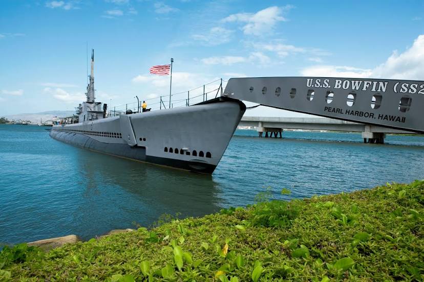
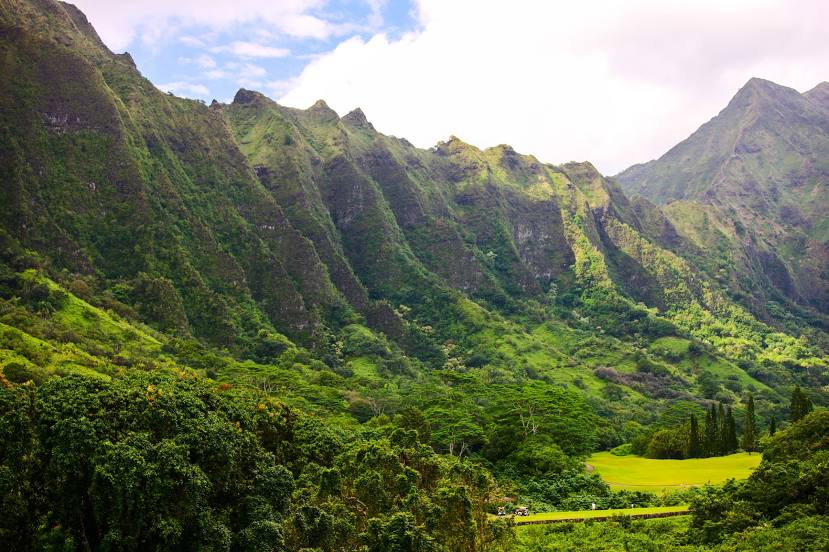
Attractions
Distance to the capital
Distance to the capital (Washington) is about — 7777 km.