 Milton
Shiloh
Fondo
Vernon
Grafton
Hillsdale
Vale
Ancon
Arctic
Emporia
Avon
Aurora
Fremont
Putnam County
San Juan Bautista
Belfast
Sego
Paisley
York
Milton
Shiloh
Fondo
Vernon
Grafton
Hillsdale
Vale
Ancon
Arctic
Emporia
Avon
Aurora
Fremont
Putnam County
San Juan Bautista
Belfast
Sego
Paisley
York
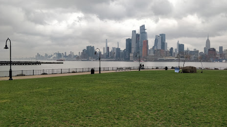
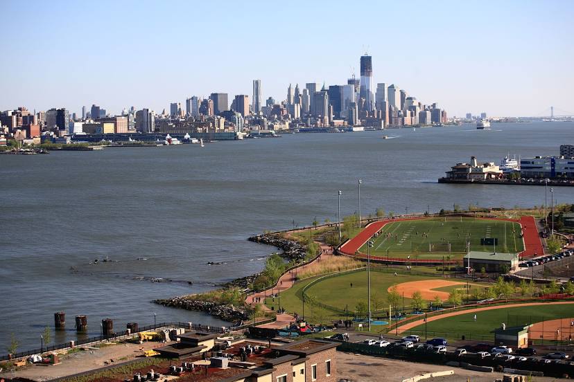
Union City on the map, United States
Where is located Union City
Exact location — Union City, Hudson County, New Jersey, United States, marked on the map with a red marker.
Coordinates
Union City, United States coordinates in decimal format: latitude — 40.7795455, longitude — -74.0237512. When converted to degrees, minutes, seconds Union City has the following coordinates: 40°46′46.36 north latitude and -74°1′25.5 east longitude.
Population
Union City, Hudson County, New Jersey, United States, according to our data the population is — 66,455 residents, which is about 0% of the total population of the country (United States).
Comparison of the population on the graph:
Exact time
Time zone for this location Union City — UTC -4 America/New_York. Exact time — thursday, 4 april 2024 year, 02 h. 55 minutes.
Sunrise and sunset
Union City, sunrise and sunset data for a date — thursday 18.04.2024.
| Sunrise | Sunset | Day (duration) |
|---|---|---|
| 06:14 -2 minutes | 19:35 +1 minute | 13 h. 24 minutes. +3 minutes |
You can control the scale of the map using the auxiliary tools to find out exactly where it is located Union City. When you change the scale of the map, the width of the ruler also changes (in kilometers and miles).
Nearby cities
The largest cities that are located nearby:
- New York — 8 km
- Brooklyn — 10 km
- Newark — 13 km
- Paterson — 20 km
- Yonkers — 20 km
- Elizabeth — 20 km
- Edison — 44 km
- Stamford — 51 km
- Bridgeport — 82 km
- Toms River — 92 km
- New Haven — 108 km
- Waterbury — 118 km
- Allentown — 125 km
- Philadelphia — 133 km
- Hartford — 155 km
- Springfield — 188 km
- Amherst — 213 km
- Providence — 244 km
- Worcester — 245 km
Distance to neighboring capitals:
- Ottawa
 (Canada) — 534 km
 - Nuuk
 (Greenland) — 2973 km
 - Belmopan
 (Belize) — 2974 km
 - Guatemala City
 (Guatemala) — 3320 km
 - Mexico City
 (Mexico) — 3364 km
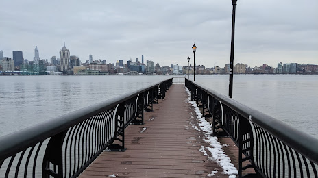
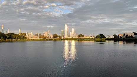
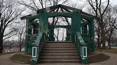
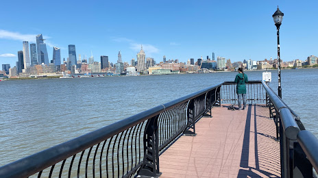
Attractions


Distance to the capital
Distance to the capital (Washington) is about — 331 km.