 Temascalcingo
Tultepec
Florida del Norte
San Pedro Garza García
Del Carmen
Jalcocotán
Alpujarras
Ensenada
San Luis San Pedro
Monterrey
Pueblo Juárez
Buen Pais
Vicente Camalote
Amatillo
Heroica Ciudad de Huajuapan de Leon
Angostura
Armería Municipality
Doñana
Ceballos
Temascalcingo
Tultepec
Florida del Norte
San Pedro Garza García
Del Carmen
Jalcocotán
Alpujarras
Ensenada
San Luis San Pedro
Monterrey
Pueblo Juárez
Buen Pais
Vicente Camalote
Amatillo
Heroica Ciudad de Huajuapan de Leon
Angostura
Armería Municipality
Doñana
Ceballos
Etzatlán on the map, Mexico
Where is located Etzatlán
Exact location — Etzatlán, Jalisco, Mexico, marked on the map with a red marker.
Coordinates
Etzatlán, Mexico coordinates in decimal format: latitude — 20.7644691, longitude — -104.0809056. When converted to degrees, minutes, seconds Etzatlán has the following coordinates: 20°45′52.09 north latitude and -104°4′51.26 east longitude.
Population
Etzatlán, Jalisco, Mexico, according to our data the population is — 13,183 residents, which is about 0% of the total population of the country (Mexico).
Comparison of the population on the graph:
Exact time
Time zone for this location Etzatlán — UTC -6 America/Mexico_City. Exact time — friday, 4 april 2024 year, 16 h. 20 minutes.
Sunrise and sunset
Etzatlán, sunrise and sunset data for a date — friday 19.04.2024.
| Sunrise | Sunset | Day (duration) |
|---|---|---|
| 06:36 -1 minute | 19:14 +1 minute | 12 h. 36 minutes. +2 minutes |
You can control the scale of the map using the auxiliary tools to find out exactly where it is located Etzatlán. When you change the scale of the map, the width of the ruler also changes (in kilometers and miles).
Nearby cities
The largest cities that are located nearby:
- Zapopan — 69 km
- Guadalajara — 77 km
- Tlaquepaque — 81 km
- Tonalá — 88 km
- Tepic — 117 km
- Puerto Vallarta — 119 km
- Colima — 172 km
- Manzanillo — 184 km
- Zamora — 205 km
- Aguascalientes — 221 km
- León — 250 km
- Uruapan — 260 km
- Zacatecas — 269 km
- Irapuato — 282 km
- Fresnillo — 294 km
- Salamanca — 299 km
- Morelia — 322 km
- Celaya — 340 km
- San Luis Potosi — 352 km
Distance to neighboring capitals:
- Guatemala City
 (Guatemala) — 1589 km
 - Belmopan
 (Belize) — 1656 km
 - Tegucigalpa
 (Honduras) — 1936 km
 - Washington
 (United States) — 3276 km
 - Ottawa
 (Canada) — 3772 km
 - Saint John
 (Puerto Rico) — 3978 km
 - Belgrade
 (Serbia) — 10818 km
 - Podgorica
 (Montenegro) — 10906 km
 - Hagåtña
 (Guam) — 11593 km
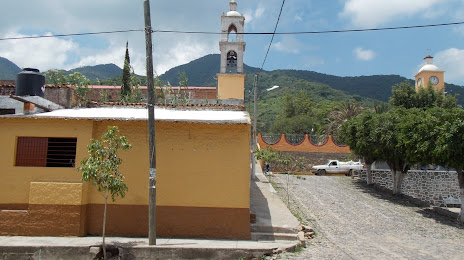
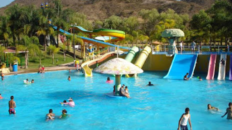
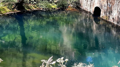
Attractions
Distance to the capital
Distance to the capital (Mexico City) is about — 538 km.