 Zap
Seminary
North Pole
Newcastle
Fola
Sarah
Dallas
Avery
Perma
Greensburg
Calcasieu
Hot Springs Village
Claremont
Concord
Croydon
Forest
Woodbury
Pinson
Regan
Zap
Seminary
North Pole
Newcastle
Fola
Sarah
Dallas
Avery
Perma
Greensburg
Calcasieu
Hot Springs Village
Claremont
Concord
Croydon
Forest
Woodbury
Pinson
Regan
La Verne on the map, United States
Where is located La Verne
Exact location — La Verne, Los Angeles County, California, United States, marked on the map with a red marker.
Coordinates
La Verne, United States coordinates in decimal format: latitude — 34.1008426, longitude — -117.7678355. When converted to degrees, minutes, seconds La Verne has the following coordinates: 34°6′3.03 north latitude and -117°46′4.21 east longitude.
Population
La Verne, Los Angeles County, California, United States, according to our data the population is — 31,063 residents, which is about 0% of the total population of the country (United States).
Comparison of the population on the graph:
Exact time
Time zone for this location La Verne — UTC -7 America/Los_Angeles. Exact time — wednesday, 4 april 2024 year, 19 h. 39 minutes.
Sunrise and sunset
La Verne, sunrise and sunset data for a date — wednesday 17.04.2024.
| Sunrise | Sunset | Day (duration) |
|---|---|---|
| 06:19 -1 minute | 19:21 +1 minute | 13 h. 0 minutes. +2 minutes |
You can control the scale of the map using the auxiliary tools to find out exactly where it is located La Verne. When you change the scale of the map, the width of the ruler also changes (in kilometers and miles).
Nearby cities
The largest cities that are located nearby:
- Pomona — 5 km
- Ontario — 11 km
- Rancho Cucamonga — 16 km
- West Covina — 16 km
- El Monte — 24 km
- Fullerton — 29 km
- Fontana — 31 km
- Corona — 31 km
- Anaheim — 32 km
- Pasadena — 35 km
- Orange — 35 km
- Norwalk — 36 km
- Rialto — 36 km
- East Los Angeles — 38 km
- Riverside — 38 km
- Downey — 38 km
- Garden Grove — 40 km
- Santa Ana — 40 km
- San Bernardino — 44 km
Distance to neighboring capitals:
- Mexico City
 (Mexico) — 2459 km
 - Belmopan
 (Belize) — 3439 km
 - Guatemala City
 (Guatemala) — 3488 km
 - Ottawa
 (Canada) — 3762 km
 - Nuuk
 (Greenland) — 5491 km
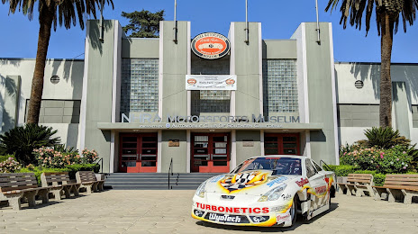
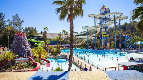
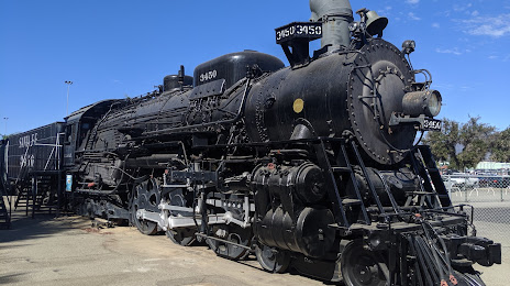
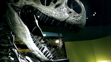
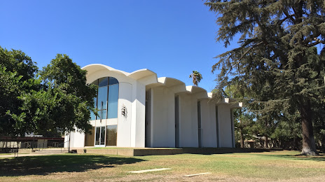
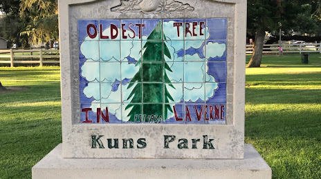
Attractions
Distance to the capital
Distance to the capital (Washington) is about — 3650 km.