 San Antonio
Jacksboro
Deep River
Dehesa
Manhattan
Napoli
Mitchell
Honor
Seagrove Beach
Fola
Newcastle
North Pole
Seminary
Zap
Santa Ana Pueblo
Yosemite Village
Jersey City
Troy
Pasadena
San Antonio
Jacksboro
Deep River
Dehesa
Manhattan
Napoli
Mitchell
Honor
Seagrove Beach
Fola
Newcastle
North Pole
Seminary
Zap
Santa Ana Pueblo
Yosemite Village
Jersey City
Troy
Pasadena
North Port on the map, United States
Where is located North Port
Exact location — North Port, Sarasota County, Florida, United States, marked on the map with a red marker.
Coordinates
North Port, United States coordinates in decimal format: latitude — 27.044224, longitude — -82.2359254. When converted to degrees, minutes, seconds North Port has the following coordinates: 27°2′39.21 north latitude and -82°14′9.33 east longitude.
Population
North Port, Sarasota County, Florida, United States, according to our data the population is — 57,357 residents, which is about 0% of the total population of the country (United States).
Comparison of the population on the graph:
Exact time
Time zone for this location North Port — UTC -4 America/New_York. Exact time — thursday, 4 april 2024 year, 17 h. 07 minutes.
Sunrise and sunset
North Port, sunrise and sunset data for a date — thursday 25.04.2024.
| Sunrise | Sunset | Day (duration) |
|---|---|---|
| 06:57 -1 minute | 19:56 +1 minute | 13 h. 0 minutes. +2 minutes |
You can control the scale of the map using the auxiliary tools to find out exactly where it is located North Port. When you change the scale of the map, the width of the ruler also changes (in kilometers and miles).
Nearby cities
The largest cities that are located nearby:
- Cape Coral — 60 km
- Saint Petersburg — 90 km
- Brandon — 99 km
- Tampa — 103 km
- Clearwater — 116 km
- Orlando — 185 km
- Port Saint Lucie — 186 km
- Coral Springs — 213 km
- Pembroke Pines — 224 km
- Miramar — 225 km
- Fort Lauderdale — 232 km
- Hialeah — 235 km
- Hollywood — 237 km
- Miami — 248 km
- Gainesville — 288 km
- Jacksonville — 368 km
- Tallahassee — 423 km
- Havana
 (Cuba) — 430 km
 - Matanzas (Cuba) — 450 km
Distance to neighboring capitals:
- Belmopan
 (Belize) — 1280 km
 - Guatemala City
 (Guatemala) — 1628 km
 - Mexico City
 (Mexico) — 1921 km
 - Ottawa
 (Canada) — 2125 km
 - Nuuk
 (Greenland) — 4667 km
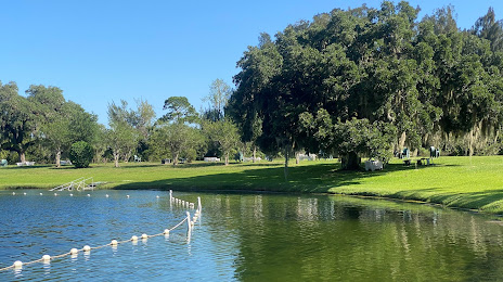
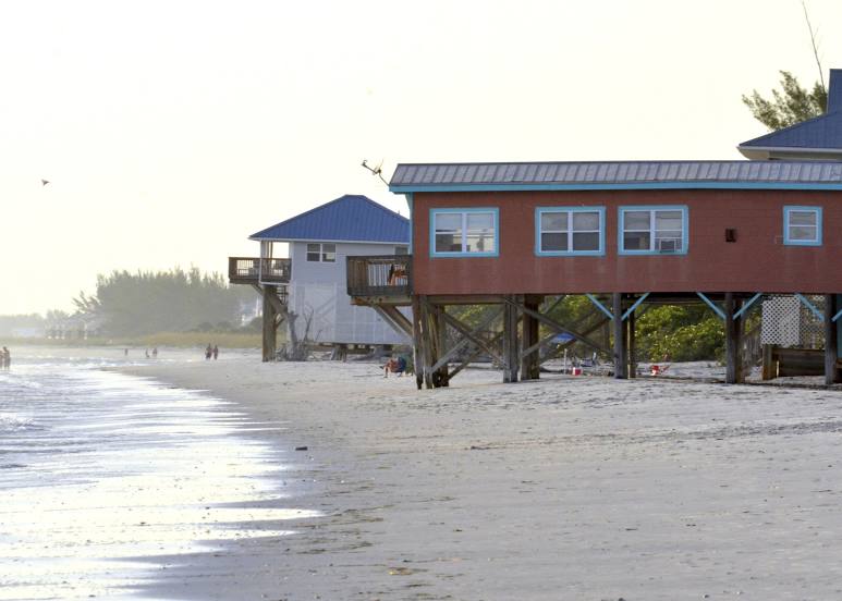
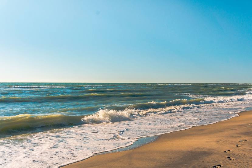
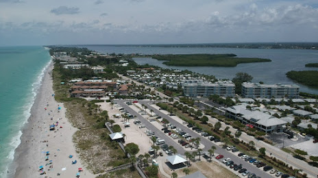
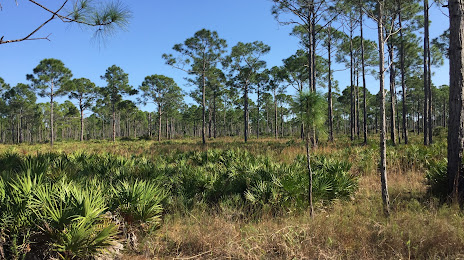
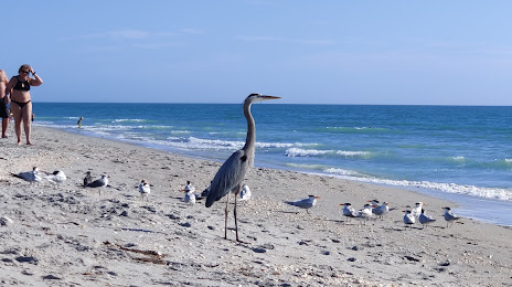
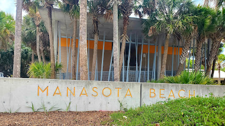
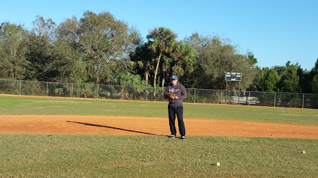
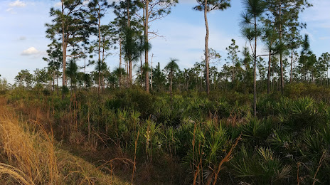
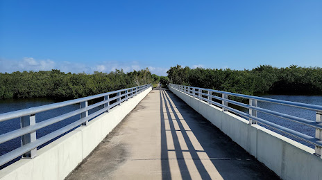
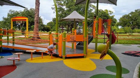
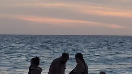
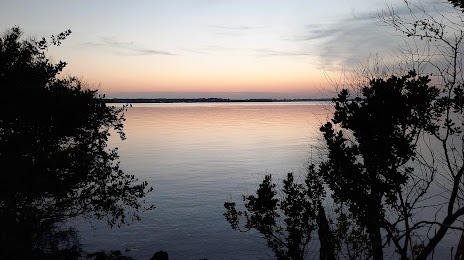
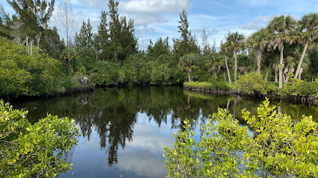
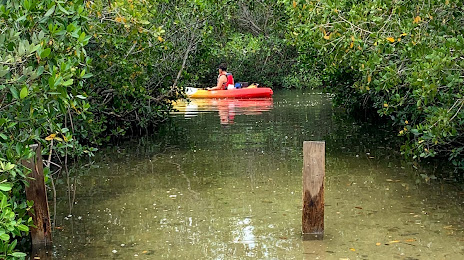
Attractions


Distance to the capital
Distance to the capital (Washington) is about — 1405 km.