 Aguacate
El Ceibo
Zona 12
San José Pinula
Zona 14
Zona 18
Las Lisas
Tecojate
La Libertad
Baja Verapaz Department
Tikal
Alta Verapaz Department
Puerto Quetzal
Las Pozas
Tejutla
Yepocapa
Jalpatagua
El Progreso
Nueva Concepción
Aguacate
El Ceibo
Zona 12
San José Pinula
Zona 14
Zona 18
Las Lisas
Tecojate
La Libertad
Baja Verapaz Department
Tikal
Alta Verapaz Department
Puerto Quetzal
Las Pozas
Tejutla
Yepocapa
Jalpatagua
El Progreso
Nueva Concepción
San Marcos on the map, Guatemala
Where is located San Marcos
Exact location — San Marcos, San Marcos Department, Guatemala, marked on the map with a red marker.
Coordinates
San Marcos, Guatemala coordinates in decimal format: latitude — 14.9309569, longitude — -91.9099238. When converted to degrees, minutes, seconds San Marcos has the following coordinates: 14°55′51.44 north latitude and -91°54′35.73 east longitude.
Population
San Marcos, San Marcos Department, Guatemala, according to our data the population is — 25,088 residents, which is about 0.1% of the total population of the country (Guatemala).
Comparison of the population on the graph:
Exact time
Time zone for this location San Marcos — UTC -6 America/Guatemala. Exact time — thursday, 4 april 2024 year, 16 h. 54 minutes.
Sunrise and sunset
San Marcos, sunrise and sunset data for a date — thursday 25.04.2024.
| Sunrise | Sunset | Day (duration) |
|---|---|---|
| 05:49 -1 minute | 18:21 -0 minutes | 12 h. 30 minutes. +1 minute |
You can control the scale of the map using the auxiliary tools to find out exactly where it is located San Marcos. When you change the scale of the map, the width of the ruler also changes (in kilometers and miles).
Nearby cities
The largest cities that are located nearby:
- Tapachula
 (Mexico) — 38 km
 - Quetzaltenango — 43 km
- San Juan Sacatepéquez — 137 km
- Escuintla — 139 km
- Villa Nueva — 148 km
- Villa Canales — 158 km
- San Cristóbal de las Casas (Mexico) — 214 km
- Tuxtla Gutiérrez (Mexico) — 238 km
- Santa Ana
 (El Salvador) — 273 km
 - Santa Tecla (El Salvador) — 314 km
- Apopa (El Salvador) — 318 km
- Mejicanos (El Salvador) — 318 km
- San Salvador (El Salvador) — 320 km
- Soyapango (El Salvador) — 327 km
- Villahermosa (Mexico) — 355 km
- Ciudad del Carmen (Mexico) — 411 km
- San Pedro Sula
 (Honduras) — 418 km
 - Choloma (Honduras) — 429 km
- San Miguel (El Salvador) — 432 km
Distance to neighboring capitals:
- San Salvador (El Salvador) — 321 km
- Belmopan
 (Belize) — 424 km
 - Tegucigalpa (Honduras) — 514 km
- Managua
 (Nicaragua) — 686 km
 - Mexico City (Mexico) — 916 km
- Washington
 (United States) — 3038 km
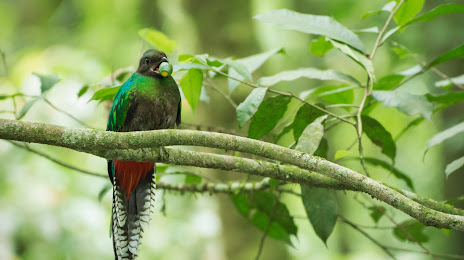
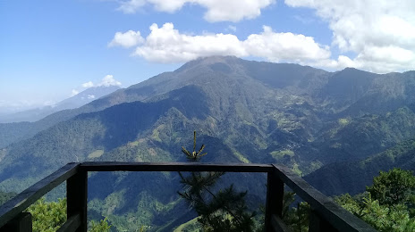
Attractions
Distance to the capital
Distance to the capital (Guatemala City) is about — 152 km.