 Estanzuela
Tenedores
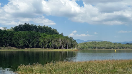
Rio Nahualate
Aldea Chanmagua
Aldea Cafetales
Colonia Los Llanos
Nueva Santa Rosa
La Democracia
San Marcos Huista
San Carlos Sija
Sayaxché
San Luis
Sabaneta
El Naranjo
Potrero Carrillo
Jalapa
Las Conchas
Sololá
Baja Verapaz Department
Estanzuela
Tenedores
Rio Nahualate
Aldea Chanmagua
Aldea Cafetales
Colonia Los Llanos
Nueva Santa Rosa
La Democracia
San Marcos Huista
San Carlos Sija
Sayaxché
San Luis
Sabaneta
El Naranjo
Potrero Carrillo
Jalapa
Las Conchas
Sololá
Baja Verapaz Department
Barberena on the map, Guatemala
Where is located Barberena
Exact location — Barberena, Santa Rosa Department, Guatemala, marked on the map with a red marker.
Coordinates
Barberena, Guatemala coordinates in decimal format: latitude — 14.3061922, longitude — -90.363067. When converted to degrees, minutes, seconds Barberena has the following coordinates: 14°18′22.29 north latitude and -90°21′47.04 east longitude.
Population
Barberena, Santa Rosa Department, Guatemala, according to our data the population is — 30,539 residents, which is about 0.2% of the total population of the country (Guatemala).
Comparison of the population on the graph:
Exact time
Time zone for this location Barberena — UTC -6 America/Guatemala. Exact time — thursday, 4 april 2024 year, 02 h. 42 minutes.
Sunrise and sunset
Barberena, sunrise and sunset data for a date — thursday 25.04.2024.
| Sunrise | Sunset | Day (duration) |
|---|---|---|
| 05:44 -0 minutes | 18:14 -0 minutes | 12 h. 30 minutes. -0 minutes |
You can control the scale of the map using the auxiliary tools to find out exactly where it is located Barberena. When you change the scale of the map, the width of the ruler also changes (in kilometers and miles).
Nearby cities
The largest cities that are located nearby:
- Villa Canales — 25 km
- Villa Nueva — 34 km
- Escuintla — 46 km
- San Juan Sacatepéquez — 55 km
- Santa Ana
 (El Salvador) — 93 km
 - Santa Tecla (El Salvador) — 135 km
- Quetzaltenango — 136 km
- Apopa (El Salvador) — 138 km
- Mejicanos (El Salvador) — 139 km
- San Salvador (El Salvador) — 140 km
- Soyapango (El Salvador) — 147 km
- Tapachula
 (Mexico) — 214 km
 - San Miguel (El Salvador) — 252 km
- San Pedro Sula
 (Honduras) — 281 km
 - Choloma (Honduras) — 295 km
- El Progreso (Honduras) — 299 km
- Tegucigalpa (Honduras) — 338 km
- San Cristóbal de las Casas (Mexico) — 361 km
- Chinandega
 (Nicaragua) — 396 km
Distance to neighboring capitals:
- San Salvador (El Salvador) — 141 km
- Tegucigalpa (Honduras) — 340 km
- Belmopan
 (Belize) — 369 km
 - Managua (Nicaragua) — 506 km
- Mexico City (Mexico) — 1093 km
- Washington
 (United States) — 3032 km
Attractions
Distance to the capital
Distance to the capital (Guatemala City) is about — 39 km.