 Whitford
West Point
Reed City
Saint James
Vienna
Gage
Tuscarora
Sheffield
Scotland
Langtry
Rote
Saint Louis
Avon
Hartsfield
Allah
Brooklyn
Marion
New Florence
Greenville
Whitford
West Point
Reed City
Saint James
Vienna
Gage
Tuscarora
Sheffield
Scotland
Langtry
Rote
Saint Louis
Avon
Hartsfield
Allah
Brooklyn
Marion
New Florence
Greenville
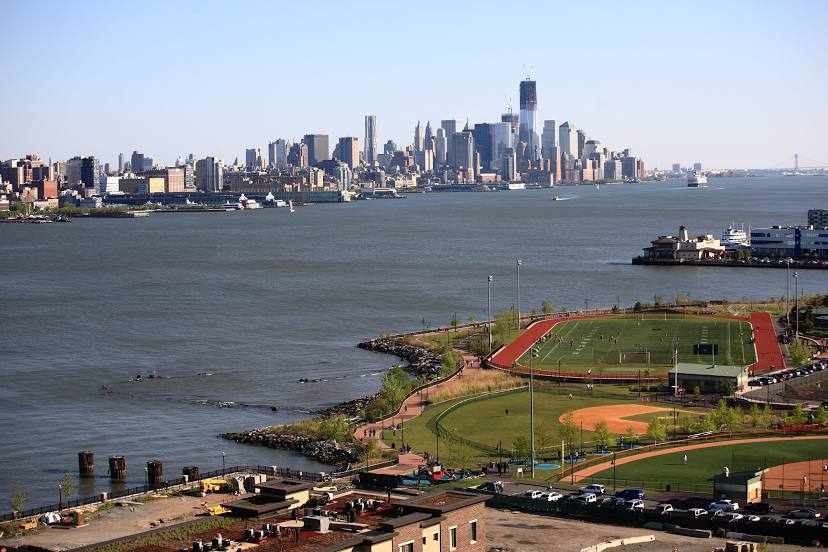
West New York on the map, United States
Where is located West New York
Exact location — West New York, Hudson County, New Jersey, United States, marked on the map with a red marker.
Coordinates
West New York, United States coordinates in decimal format: latitude — 40.7878788, longitude — -74.0143064. When converted to degrees, minutes, seconds West New York has the following coordinates: 40°47′16.36 north latitude and -74°0′51.5 east longitude.
Population
West New York, Hudson County, New Jersey, United States, according to our data the population is — 49,708 residents, which is about 0% of the total population of the country (United States).
Comparison of the population on the graph:
Exact time
Time zone for this location West New York — UTC -4 America/New_York. Exact time — tuesday, 4 april 2024 year, 12 h. 30 minutes.
Sunrise and sunset
West New York, sunrise and sunset data for a date — tuesday 16.04.2024.
| Sunrise | Sunset | Day (duration) |
|---|---|---|
| 06:17 -2 minutes | 19:33 +1 minute | 13 h. 18 minutes. +3 minutes |
You can control the scale of the map using the auxiliary tools to find out exactly where it is located West New York. When you change the scale of the map, the width of the ruler also changes (in kilometers and miles).
Nearby cities
The largest cities that are located nearby:
- New York — 8 km
- Brooklyn — 10 km
- Newark — 14 km
- Yonkers — 19 km
- Paterson — 19 km
- Elizabeth — 21 km
- Edison — 45 km
- Stamford — 49 km
- Bridgeport — 81 km
- Toms River — 94 km
- New Haven — 107 km
- Waterbury — 117 km
- Allentown — 125 km
- Philadelphia — 134 km
- Hartford — 154 km
- Springfield — 186 km
- Amherst — 212 km
- Providence — 243 km
- Worcester — 244 km
Distance to neighboring capitals:
- Ottawa
 (Canada) — 533 km
 - Nuuk
 (Greenland) — 2972 km
 - Belmopan
 (Belize) — 2975 km
 - Guatemala City
 (Guatemala) — 3322 km
 - Mexico City
 (Mexico) — 3365 km
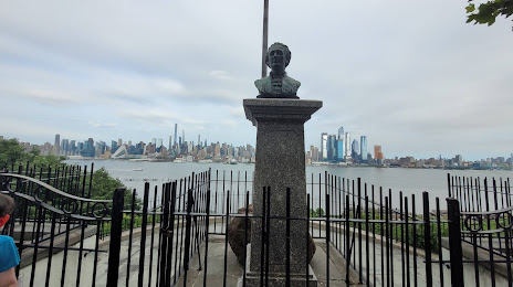
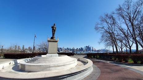
Attractions


Distance to the capital
Distance to the capital (Washington) is about — 332 km.