
 Arinaga
Moralzarzal
Castellón de la Plana
Granada
Pozoblanco
Alcoi
Oviedo
Burgos
León
San Agustín
Málaga
Tarragona
Fuenlabrada
Urdiain
Vigo
Palma
O Barco
Boadilla del Monte
Alcocer
Arinaga
Moralzarzal
Castellón de la Plana
Granada
Pozoblanco
Alcoi
Oviedo
Burgos
León
San Agustín
Málaga
Tarragona
Fuenlabrada
Urdiain
Vigo
Palma
O Barco
Boadilla del Monte
Alcocer
Ciudad Real on the map, Spain
Where is located Ciudad Real
Exact location — Ciudad Real, Ciudad Real, Castile-La Mancha, Spain, marked on the map with a red marker.
Coordinates
Ciudad Real, Spain coordinates in decimal format: latitude — 38.9848295, longitude — -3.9273778. When converted to degrees, minutes, seconds Ciudad Real has the following coordinates: 38°59′5.39 north latitude and -3°55′38.56 east longitude.
Population
Ciudad Real, Ciudad Real, Castile-La Mancha, Spain, according to our data the population is — 64,625 residents, which is about 0.1% of the total population of the country (Spain).
Comparison of the population on the graph:
Exact time
Time zone for this location Ciudad Real — UTC +2 Europe/Madrid. Exact time — thursday, 4 april 2024 year, 11 h. 49 minutes.
Sunrise and sunset
Ciudad Real, sunrise and sunset data for a date — thursday 25.04.2024.
| Sunrise | Sunset | Day (duration) |
|---|---|---|
| 07:27 -1 minute | 20:59 +1 minute | 13 h. 30 minutes. +2 minutes |
You can control the scale of the map using the auxiliary tools to find out exactly where it is located Ciudad Real. When you change the scale of the map, the width of the ruler also changes (in kilometers and miles).
Nearby cities
The largest cities that are located nearby:
- Jaén — 134 km
- Córdoba — 142 km
- Fuenlabrada — 145 km
- Getafe — 147 km
- Móstoles — 148 km
- Leganés — 150 km
- Alcorcón — 151 km
- Torrejón de Ardoz — 167 km
- Alcala de Henares — 172 km
- Alcobendas — 173 km
- Albacete — 178 km
- Granada — 202 km
- Málaga — 254 km
- Dos Hermanas — 257 km
- Badajoz — 262 km
- Salamanca — 263 km
- Murcia — 267 km
- Almería — 271 km
- Marbella — 286 km
Distance to neighboring capitals:
- Lisbon
 (Portugal) — 452 km
 - Andorra la Vella
 (Andorra) — 603 km
 - Rabat
 (Morocco) — 616 km
 - Paris
 (France) — 1207 km
 - Paris (France) — 1207 km
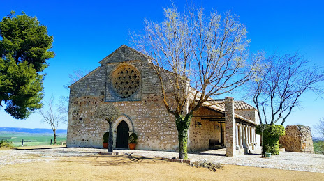
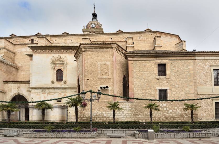
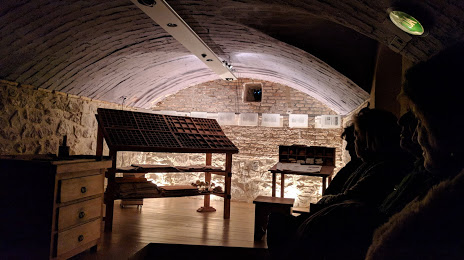
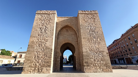
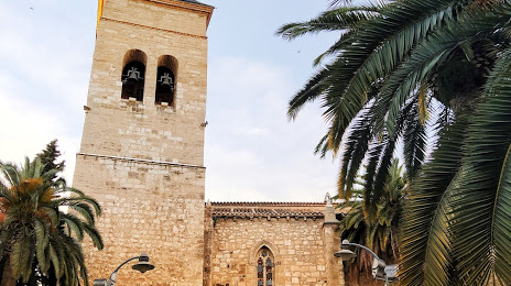
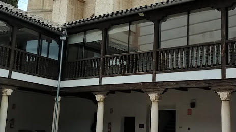
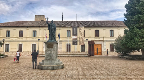
Attractions


Distance to the capital
Distance to the capital (Madrid) is about — 160 km.