 Ocosingo
La Partida
Allende
Morelia
Córdoba
Mexico City
Tlaquepaque
Huixquilucan de Degollado
Hermosillo
Nuevo Laredo
Ocotlán
San Miguel
San Pedro Garza García
Durango
Guadalajara
Chihuahua
San Nicolás
Ciudad Victoria
Cancún
Ocosingo
La Partida
Allende
Morelia
Córdoba
Mexico City
Tlaquepaque
Huixquilucan de Degollado
Hermosillo
Nuevo Laredo
Ocotlán
San Miguel
San Pedro Garza García
Durango
Guadalajara
Chihuahua
San Nicolás
Ciudad Victoria
Cancún
Colima on the map, Mexico
Where is located Colima
Exact location — Colima, Colima, Colima, Mexico, marked on the map with a red marker.
Coordinates
Colima, Mexico coordinates in decimal format: latitude — 19.2452342, longitude — -103.7240868. When converted to degrees, minutes, seconds Colima has the following coordinates: 19°14′42.84 north latitude and -103°43′26.71 east longitude.
Population
Colima, Colima, Colima, Mexico, according to our data the population is — 127,239 residents, which is about 0.1% of the total population of the country (Mexico).
Comparison of the population on the graph:
Exact time
Time zone for this location Colima — UTC -6 America/Mexico_City. Exact time — saturday, 4 april 2024 year, 06 h. 36 minutes.
Sunrise and sunset
Colima, sunrise and sunset data for a date — saturday 20.04.2024.
| Sunrise | Sunset | Day (duration) |
|---|---|---|
| 06:35 -1 minute | 19:11 -0 minutes | 12 h. 36 minutes. +1 minute |
You can control the scale of the map using the auxiliary tools to find out exactly where it is located Colima. When you change the scale of the map, the width of the ruler also changes (in kilometers and miles).
Nearby cities
The largest cities that are located nearby:
- Manzanillo — 66 km
- Tlaquepaque — 160 km
- Tonalá — 160 km
- Zapopan — 161 km
- Guadalajara — 161 km
- Zamora — 171 km
- Uruapan — 176 km
- Puerto Vallarta — 220 km
- Morelia — 268 km
- Tepic — 277 km
- Irapuato — 292 km
- León — 296 km
- Salamanca — 299 km
- Aguascalientes — 327 km
- Celaya — 333 km
- Santiago de Querétaro — 376 km
- Zacatecas — 407 km
- San Juan del Río — 408 km
- Toluca — 425 km
Distance to neighboring capitals:
- Guatemala City
 (Guatemala) — 1494 km
 - Belmopan
 (Belize) — 1595 km
 - Tegucigalpa
 (Honduras) — 1849 km
 - Washington
 (United States) — 3370 km
 - Ottawa
 (Canada) — 3887 km
 - Saint John
 (Puerto Rico) — 3953 km
 - Belgrade
 (Serbia) — 10932 km
 - Podgorica
 (Montenegro) — 11014 km
 - Hagåtña
 (Guam) — 11687 km
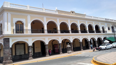
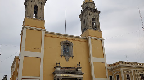
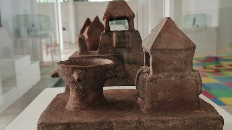
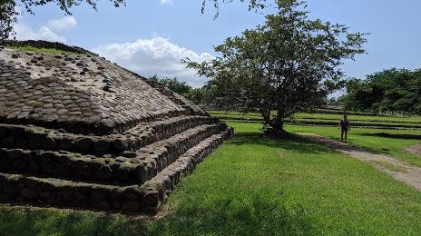
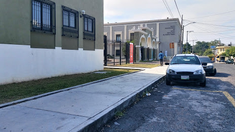
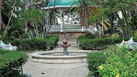
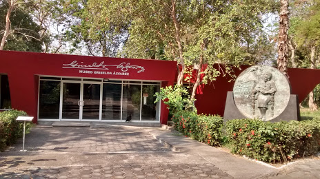
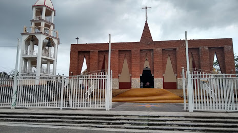
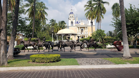
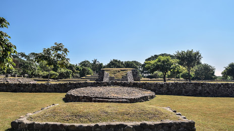
Attractions


Distance to the capital
Distance to the capital (Mexico City) is about — 482 km.